Alaska and Yukon
Tuesday 5th June
Completed our drive down the Alaska Highway and arrived at Fairbanks.
Overnight in Walmart carpark along with at least another hundred RVs!
Wednesday 6th June
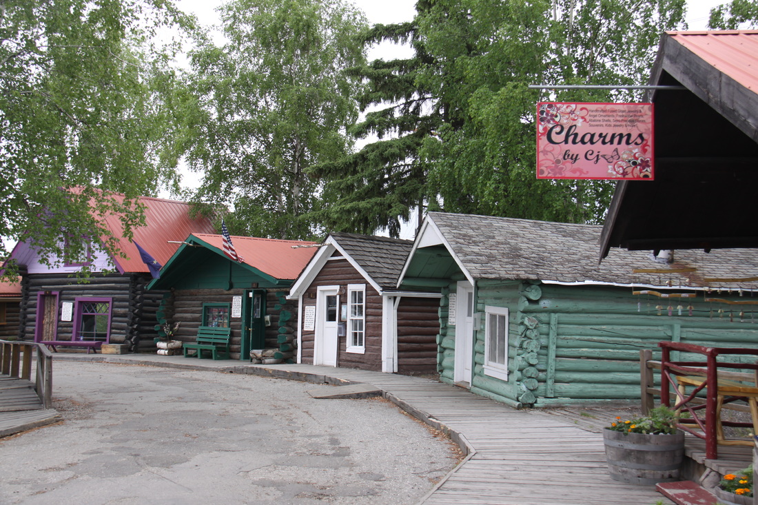
In Fairbanks we had a short walk around some thirty historical buildings (log cabins) that have been preserved at Pioneer Park. There was also the restored Harding Car (railway carriage) and a sternwheeler paddleship – SS Nenana.
A short distance away the Riverboat Discovery was a replica sternwheeler.
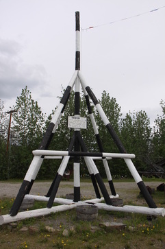
We made a lunch stop at Nenana, a village at the confluence of the Nenana and Tanana Rivers. Every year a lottery is held to guess the exact date and time that the ice breaks up on the river – this is measured by a tripod set up on the ice.
Denali National Park was our next stop. However, as the only way you can access the park is by an expensive shuttle bus, we decided that we had already seen so much wildlife on our journey up the Alaska Highway, that we would not stop. Watched the park’s film.
Overnight in a layby beside the Nenana River and surrounded by high peaks of the Alaska Range.
Thursday 7th June
Spent a short while first thing changing the bedding.
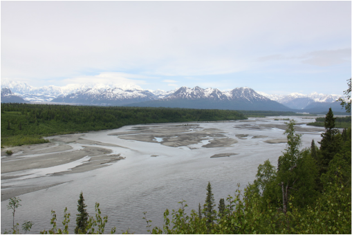
Continued south on the George Parks Highway which borders Denali National Park, stopping at both the North and South Denali viewpoints. Mt. McKinley was visible but a bank of cloud round ±15-18,000 ft meant that the view of the mountain was not completely perfect.
We visited Talkeetna village – unpaved roads in the village gave the small village a very dusty appearance. There were quite a number of original log buildings – an inn, a grocery store, a trapper’s cottage and some cabins – most now contained gift shops! The approach to the village gave wonderful views of the Alaska Range and Mt.McKinley.
Overnight in a lay by just south of Talkeetna – lots of mosquitos.
Friday 8th June
A grey, drizzly day so no chance of a clear view of Mt McKinley.
We continued our drive south along the George Parks highway to Wasilla – a line of malls, outlets etc. and no real town centre. We stocked up on groceries and sent emails before heading into Anchorage. Anchorage was a compact city and easy to drive through.
From Anchorage we headed along the Seward highway following the shore line of Turnagain Arm – an extremely scenic road with impressive views across the fjord to snow capped mountains and glaciers.
Overnight in a large car park at the col of Turnagain Pass – surrounded by snow and snow capped mountains.
Saturday 9th June
We completed our drive along the Seward highway – after the impressive mountain scenery of yesterday we dropped down into forests and lakes.
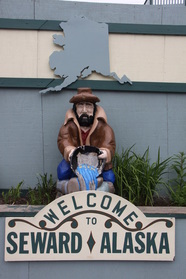
Seward was beautifully located at the head of Resurrection Bay. We followed an interesting historical town trail through downtown Seward with a number of murals, before visiting nearby Exit Glacier.
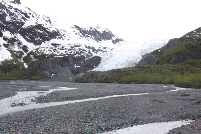
Exit Glacier is just one of many glaciers that radiate off the Harding Icefield. We followed the trail to the end of the glacier which was actually above the glacier’s snout.
There was an extremely wide outwash plain with evidence in the form of moraines as to how much the glacier retreated.
Overnight on a campground with a marvellous view down the bay.
Sunday 10th June
Spent the morning in Seward – showers and laundry. A dull and drizzly morning.
After lunch drove back along the Seward highway stopping again at Turnagain Pass for the night.
Monday 11th June
In the morning we continued retracing our rouck to Anchorage.
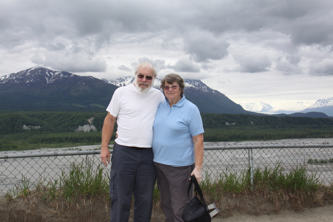
We tried to visit the hamlet of Eklutna to see the Russian church and graveyard but roadworks had closed the only way in to the Historical Park. We took the Glenn Highway which heads west to Glennallen. The road followed the wide flood and outwash plains of the Matanuska River – scenic views.
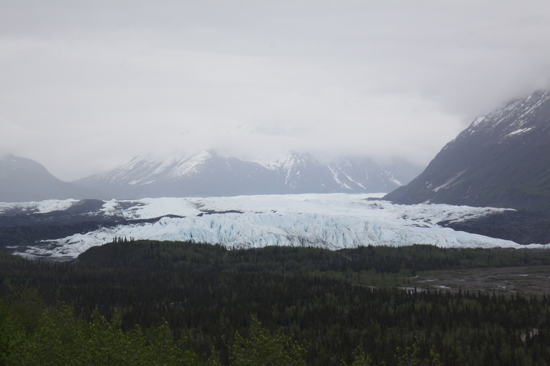
The 4 mile wide Matanuska Glacier then came into view and dominated the scenery. Unfortunately the weather closed in and we could not see the tops of the mountains that lined the valley sides. As we approached Eureka Summit, wide Arctic tundra was evident.
Overnight on a lay by just east of Glenallen – we stopped early due to the weather.
Tuesday 12th June
A disturbed night due to rain and it was still raining heavily when we woke up. Travelled a short way to meet the Richardson Highway down to Valdez. The first fifty miles driving was through a broad valley flanked on the east by high mountains which were completely covered in cloud. The road then started to climb to cross the Thompson Pass. We crossed the snow line and had wonderful views of the Worthington Glacier – this glacier almost reaches down to the road.
As we climbed over the pass we went into the clouds. Keystone Canyon had impressive waterfalls and a long stretch of road works!
Valdez was located in a beautiful setting but the rain blocked out the mountains. The town itself was of little interest as it had been rebuilt following the 1964 earthquake – fuel and grocery prices were astronomical.
We retraced our route back towards Glennallen before parking in a large layby for the night.
Wednesday 13th June
Another damp and dreary day so the views towards the Wrangell-St.Elias were still hidden from view.
We drove north to Glenallen then took the Tok Cut Off road to Tok. This road was in very poor condition and there was a long section of one way escorted traffic.
After Tok we were back on the Alaska Highway for twelve miles before heading north on the Taylor Highway towards Chicken. This was a panoramic road but low cloud again made for no view.
Overnight on a grassy turn off a few miles short of Chicken.
Thursday 14th June
Woke up early as the sun was shining for the first time in a few days.
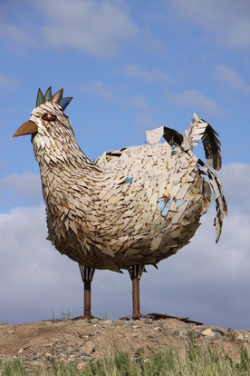
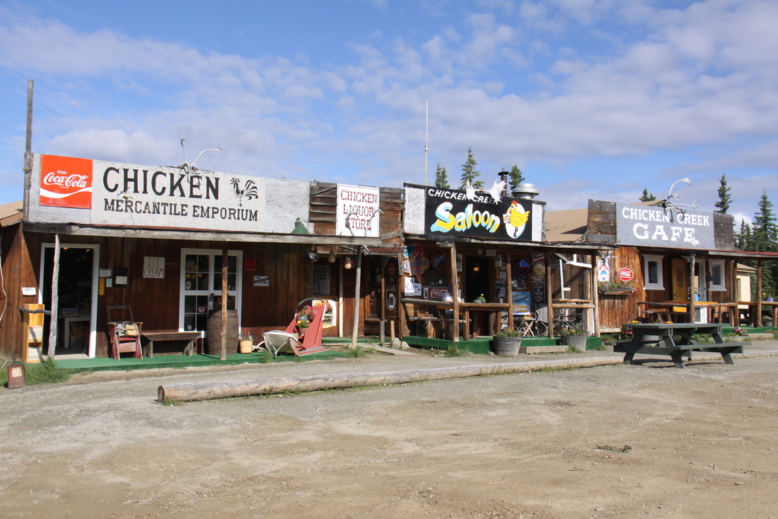
Drove the last few miles to Chicken, a quaint former gold mining settlement named after the wild ptarmigan that fed the miners on their arrival and saved them from starvation until spring – apparently none of them could spell ptarmigan so they called the town Chicken! Now only three buildings survive. Scattered all around are the rusting relics of its former past.
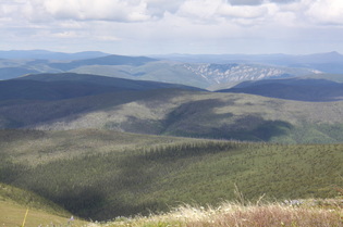
After Chicken the road deteriorates as it climbs past other abandoned former gold workings – twists, climbs, loose gravel and pot holes became the order of the day.
The town of Boundary is only a tiny hamlet but it does have an air strip - a section of the road which is a bit wider, flatter and straighter than the rest!
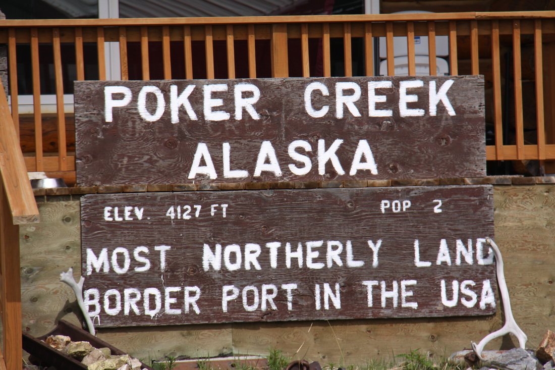
After Boundary, the road becomes the Top of the World Highway. The border crossing USA/Canada, is the most northerly in North America – it felt and looked very remote.
Once into Canada the road improved and was tarmac rather than dirt and gravel. However this was a short lived luxury and the road did not really improve until just before Dawson City.
The Top of the World Highway is mainly constructed along a ridge so the views were magnificent. Mainly gravel and sand with some bits of old tarmac. There were some big potholes so it was a case of taking things slowly!
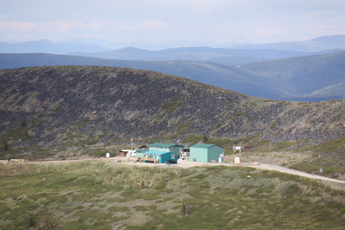
We were heading for the campground in Dawson City but ferries had stopped for the day by the time we got there. Found a nice grassy area in the hills above Dawson City for our overnight stop.
Friday 15th June
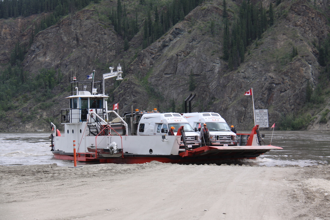
Drove the short distance down to the Yukon River and on to the ferry across to Dawson City. The river was very fast flowing and muddy. The crossing took 7 minutes.
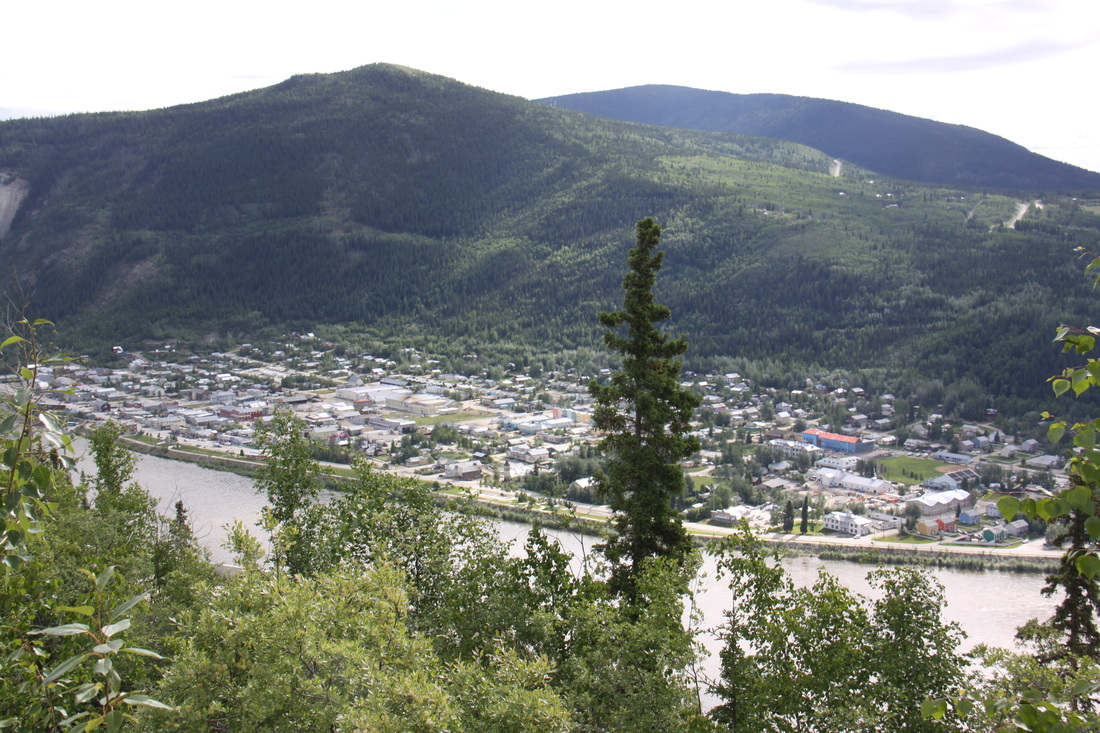
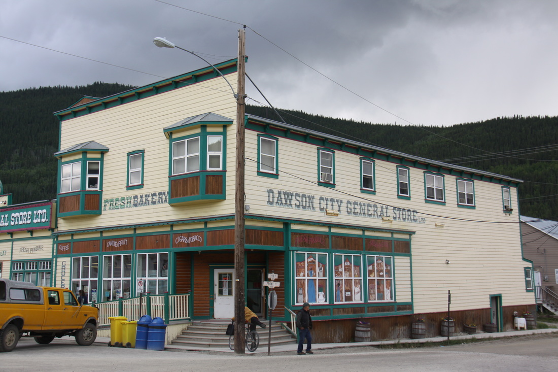
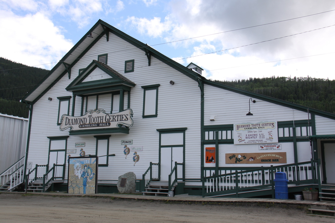
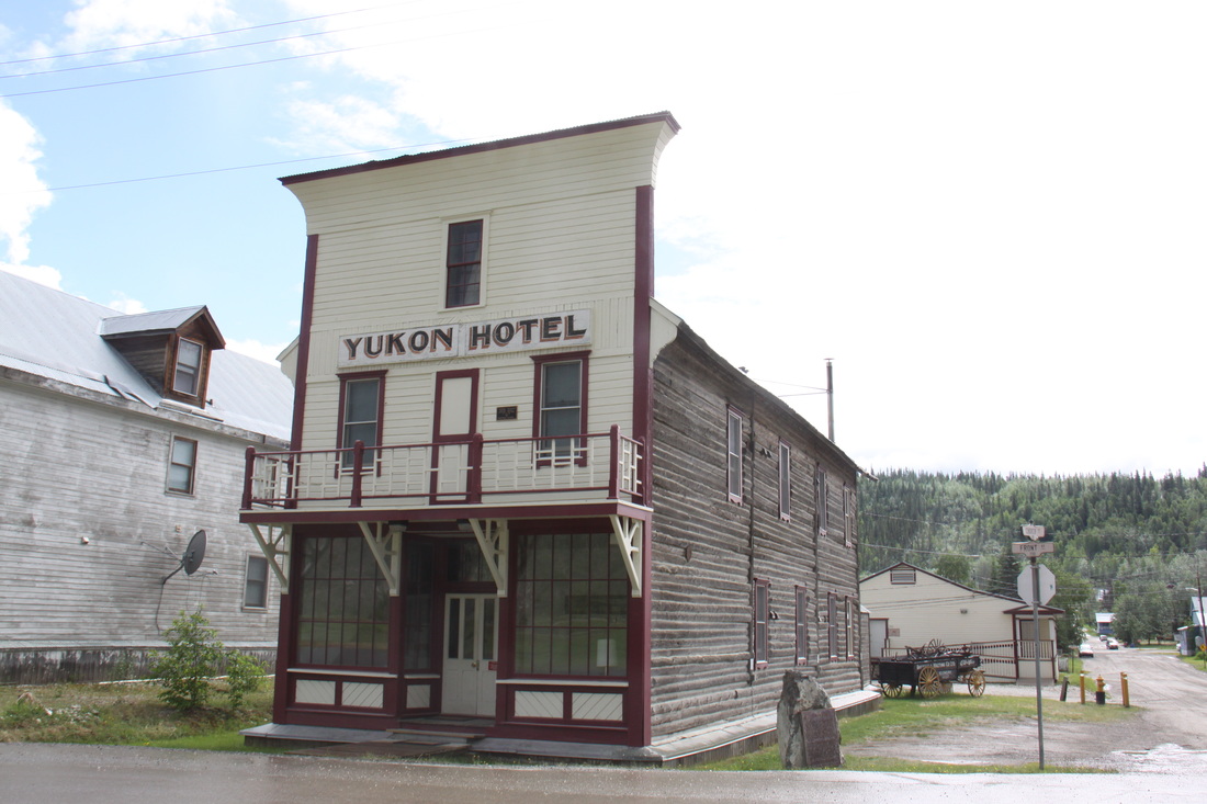
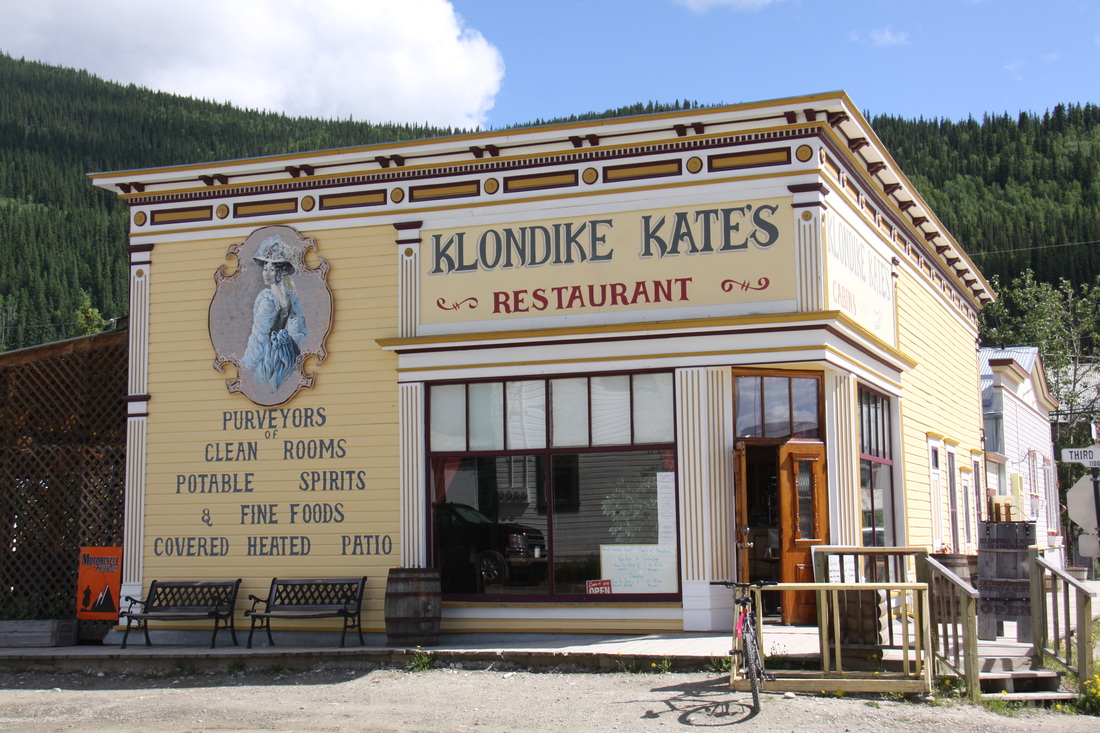
Dawson City is situated on a small alluvial plain sandwiched between Dome Mountain and the river. It is protected from flooding at the spring break up of the ice, by a dike. We followed two town trails around the town which is full of historic buildings from the era 1890 – 1900. Interpretive panels along both the dike and in town helped us to appreciate what life must have been like at the height of the Klondike gold rush. The town, despite the dust, was very pleasant and had a good feel to it.
We had a fish and chip lunch at Sourdough Joe’s Restaurant.
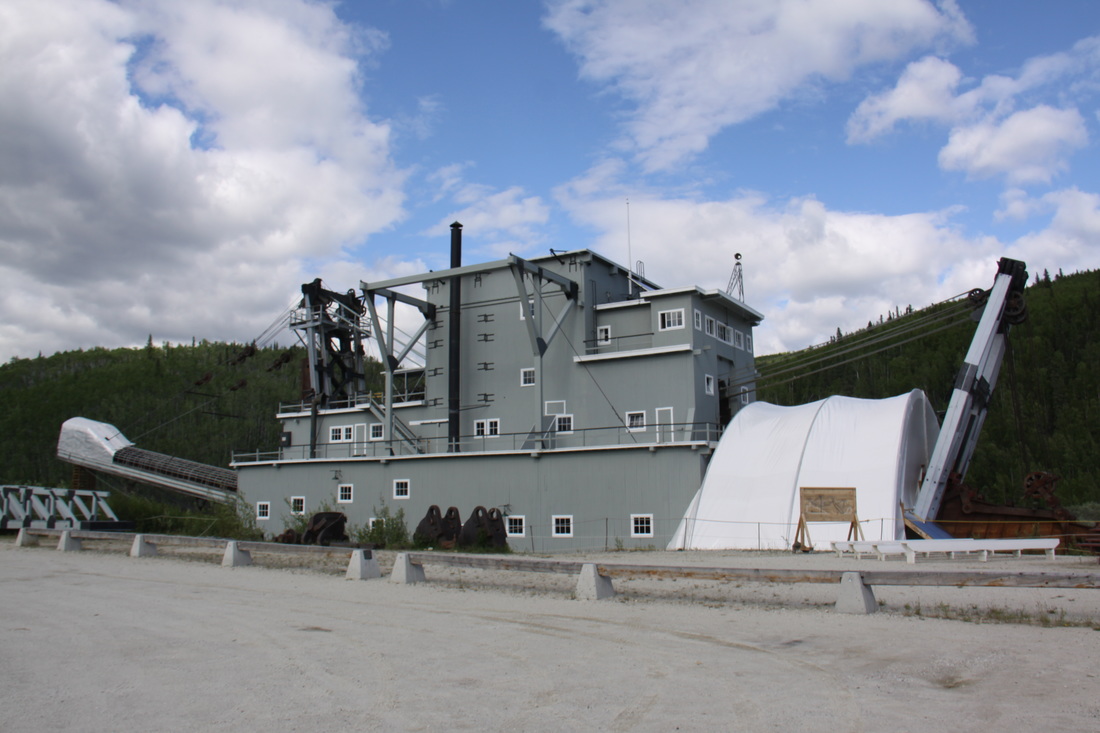
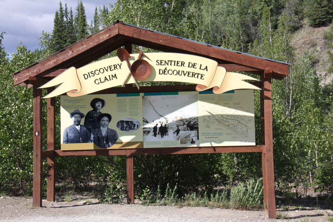
Before leaving the area we drove up Bonanza Creek Road to view the enormous Dredge No.4 – a gold mining piece of equipment. This whole area was littered with vast spoil heaps and rusting machinery. Further up the road was Discovery Claim which reputedly was the claim that started the Gold Rush.
Overnight in a layby on the Klondike Highway some 12 miles from Dawson City.
Spent the next few days driving the Dempster Highway [click here] before returning to the Klondike Highway.
Wednesday 20th June
We both woke early so were on the road by 8.30 am.
The remainder of the drive down the north section of the Klondike Highway to Whitehorse, was again through forests and low mountains.
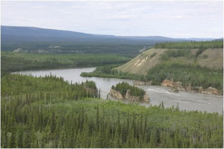
For part of the journey we followed the course of the Yukon River. We stopped to view the impressive Five Finger Rapids – a real challenge to the sternwheelers that used to ply the river.
We spent the afternoon in Whitehorse, completing the cleaning of the inside of Nicolle – we found a quiet park with nice grass and emptied the van completely! It was cold but sunny with no wind so were able to get nicely cleaned up.
Overnight at Walmart, Whitehorse.
Thursday 21st June
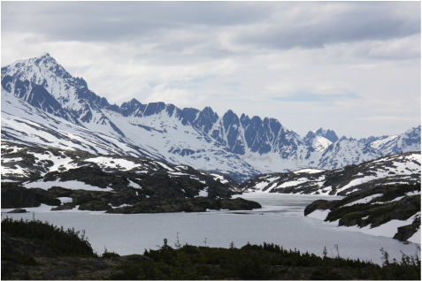
It took a couple of hours to drive the South Klondike Highway from Whitehorse to Skagway. The scenery was fantastic – an area of desert near Carcross, the beautiful southern lakes district, the glaciated, barren area around Summit Lake, high snow-covered mountains and finally the deeply incised valley leading down to Skagway located at the head of Lynn Canal.
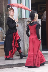
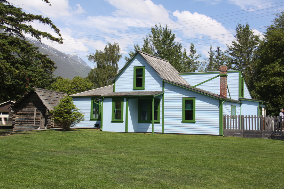
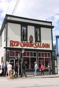
Skagway town is a designated historical area with most buildings dating back to 1898 and the Klondike Gold Rush. We walked the historical trail and despite there being five cruise ships in port, we soon lost the crowds. We left Skagway just as a storm blew in so saw little of the beautiful scenery on our return leg up the highway.
Overnight in a layby just south of Carcross.
Friday 22nd June
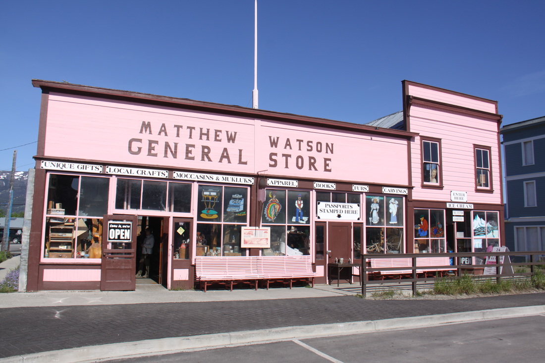
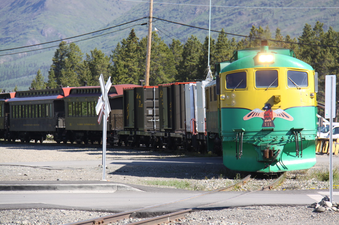
Carcross was a lovely village and we spent some time exploring it before heading onwards. Whilst we were there the Fraser, White Pass and Skagway train passed through.
Carcross was a lovely village and we spent some time exploring it before heading onwards. Whilst we were there the Fraser, White Pass and Skagway train passed through.
