South Australia
Friday 5th October
This morning we continued our drive along the coast, passing through the charming small town of Port Fairy where there are many historic nineteenth century buildings. In 2012 it was voted the world's most liveable community. Portland, the birthplace of the state of Victoria, situated on the western side of Portland Bay, was our next destination. Clearly a busy holiday resort with lots of motels and campgrounds, water park, a historic tramway and a Motor Museum, its outlook is spoiled by heavy industry and a large commercial harbour. From there we headed for Cape Bridgewater.
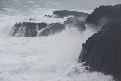
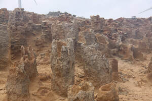
Cape Bridgewater was once a volcanic island and this is very noticeable when viewing its physical features. The blowholes area is formed mainly from black basalt and purple tinged scoria. When walking from the carpark to view the spectacular spouts of sea spray, you are warned to wear thick soled shoes as the rocky terrain can be very sharp. The petrified forest is close by the blowholes. Exactly how it was formed is not exactly clear. There is no disputing that they look like petrified tree trunks but apparently they re not!
Bridgewater Bay was beautiful. An arc of golden sands, with the surf pounding the beach, surrounded by high cliffs. The Bridgewater Bay Cafe was extremely popular. Despite being very busy, service was quick and the lunch delicious.
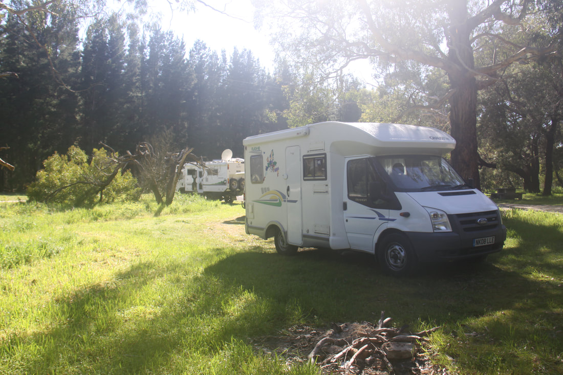
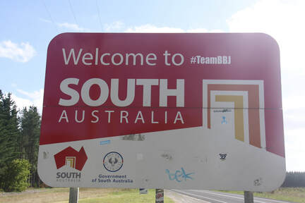
The state of Victoria has not been particularly good for 24 hour rest areas. Those marked in our "Camps Australia 9" book have often been non-existent or, if there, not matched the description. We had planned to stop at one just before leaving Victoria but couldn't find it. So we had to quickly eat the salad and fruit left in our fridge because of quarantine regulations! We then crossed into South Australia and found a lovely spot just over the border, exactly where the book said it would be.
Saturday 6th October
First thing this morning, we stocked up with fresh produce in Mount Garnier, necessary because we had run stocks low as a result of the quarantine regulations at the border. We then set off in a general north westerly direction towards Adelaide. We passed through gently rolling countryside where sheep and cattle numbers were many times greater than the human population. Stately gum trees lined the road. North of the small country town of Penola we entered the Coonawarra wine region, an area of many vineyards that stretched to the horizon and beyond in long straight lines.
Overnight was in a rest area north of the town of Keith.
Sunday 7th October
After a rather noisy night due to the proximity of a main road, a railway line and early morning rain, we set off heading north towards Adelaide. The scenery was definitely changing - less trees and more scrub. When silos started to appear we realised that we were now in "grain" growing lands.
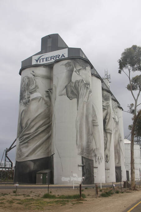
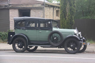
We made a stop in the small roadside settlement of Coonalpyn where a mural had been painted on the side of the giant silos. The artist must have had a real head for heights! Several Model A Fords were parked in town whilst their owners were having a coffee break. We had been seeing many all morning, driving in the opposite direction to us. They were leaving Murray Bridge following the 25th Annual Meet. In all, 210, built between 1928 and 1932, had gathered there from all over Australia.
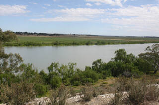
When we reached the Murray River at Tailem Bend we expected it to be wider than when we had last seen it at Echuca in northern Victoria - but no, it was virtually the same width now despite being much nearer its mouth. Our plan had been to use the small ferry across the river but somehow we missed the signs to it or perhaps it was no longer running so we had to go the long way round across the bridge to reach our destination for the night at Langhorne Creek. It was a delightful spot surrounded by vineyards.
Monday 8th October
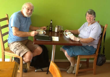
A short drive this morning took us up into the Adelaide Hills. Here, pretty little villages nestle in the valleys, retaining many national characteristics from the people who first settled them. During the 1800s many fled from religious persecution in Europe to seek a new life in Australia. Historic Hahndorf, originally settled by Lutherans from Prussia, is an excellent example. Today the settlement proudly celebrates its Germanic roots, not only in the many traditional buildings lining the Main Street, which look more like Bavarian farmhouses than Australian dwellings, but also in the range of shops selling traditional German goods and the restaurants and inns serving hearty German cuisine and real German beer! We couldn't resist a lunch of bratwurst, kartoffelsalat and sauerkraut, washed down with Oetlinger beer and followed with Schwartzwalder Kirschtorter for me and Apfelstrudel for John.
From Hahndorf we drove into Adelaide and then headed north across the flat plains to our overnight halt at Port Parham.
Tuesday 9th October
Despite South Australia statistically speaking, being the state with the least rainfall, we woke up to persistent drizzle which lasted for most of the day.
Having found the latter part of yesterday's drive up the busy main coast road not to our liking, we decided to head a little further inland to find a more interesting route. We drove through the pretty little hamlet of Mintaro where many of the stone buildings are listed before reaching the former copper-mining boom town of Burra. The old market square has many heritage buildings that make a historic streetscape.
After delightful Burra we reached the region known as the Southern Flinder Ranges. Here were many old heritage villages with wide tree-lined streets, some with well maintained buildings, others definitely needing some tender loving care. The landscape was mainly a mixture of arable and pastoral farming with a scattering of vineyards in the more sheltered valleys between the rolling hills. There were far less areas of woodland than we had seen around the Adelaide Hills.
Our choice of route today proved to have been really interesting compared to the main coast road of yesterday.
We stopped at Murray Town Park Camping Area - a pleasant quiet spot.
Wednesday 10th October
There was still a light drizzle this morning but after a short while the clouds over Mount Remarkable began to lift slightly, the sign of a brighter day to come. Melrose, established in the 1840s is the oldest town in the Flinders Ranges. It is surrounded by beautiful mixed woodland, the last we were to see for some time. From here on the land was very arid and as we drove further north, we passed a number of abandoned farmhouses, a sign of someone's shattered dream.
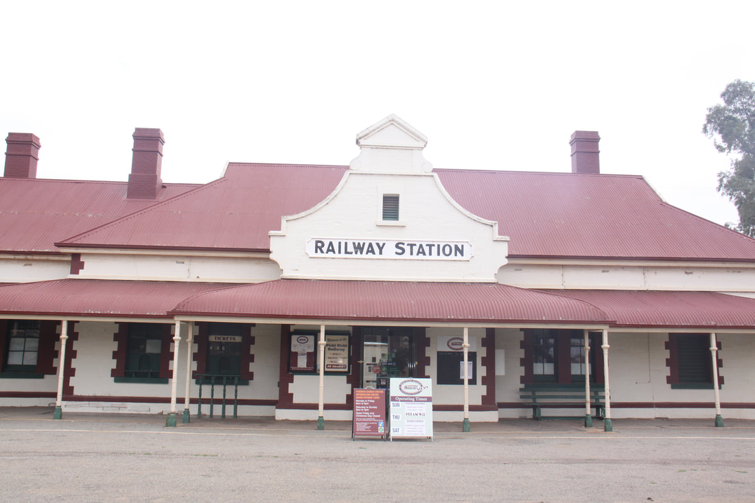
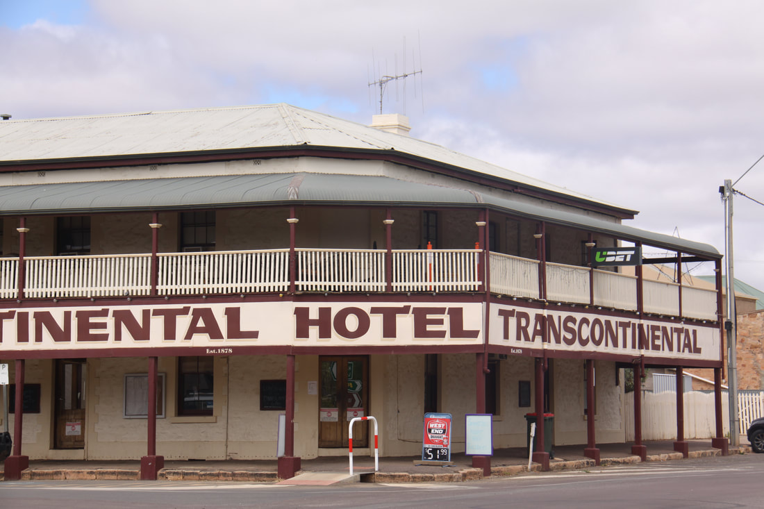
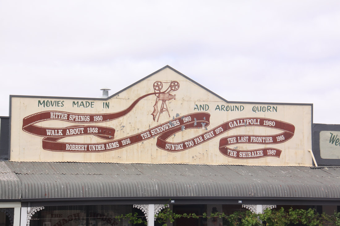
The historic town of Quorn is situated in the heart of the Flinders Ranges. It was once a thriving railway town and its historic buildings reflect this. Originally it was an important stop on the Ghan railway which still runs from Adelaide, through Alice Springs to Darwin. However, when the railway was re-routed, the town fell into decline until it was "discovered" by the film industry. It has subsequently been the backdrop for many films.
The road from Quorn down to Port Augusta was extremely scenic, especially the section passing through the Pichi Richi Pass. It follows the route of the last remaining portion of the old narrow gauge Ghan line which is still in use today as a heritage line.
We stopped in Port Augustus for lunch, sending emails and to stock up on food. We have had difficulty fining potable water for our tank - most of the water in this area is either bore or rainwater. A kind lady who we chatted to at lunch told us to come to her house and fill up there as her supply was "town" water and drinkable. We were very grateful to her.
From Port Augusta we started our long journey west. The scenery was scrubby bush with a few small trees for the first one hundred kilometres but as we approached Kimba, where we stopped for the night, we entered a grain growing region.
Thursday 11th October
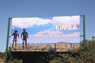
Kimba is located halfway across Australia between Sydney on the east and Perth on the west, so the "Halfway Across Australia" sign in the town told us. Although small, there is plenty to see here. It is also a RV friendly town so our stop for last night and tonight had all we needed. Secure, free, overnight parking in a large designated area, showers, toilets, drinking water and a dump point.
We spent the day exploring all that Kimba had to offer
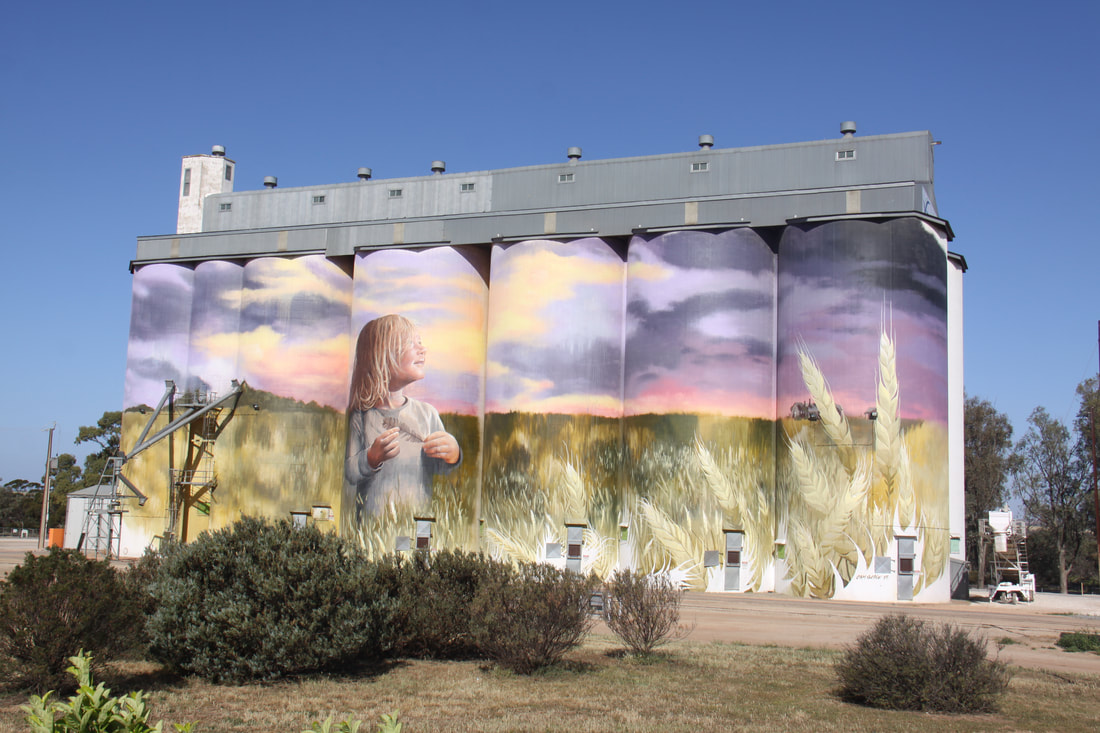
~ a grain silo which had a huge mural painted along its full length and height
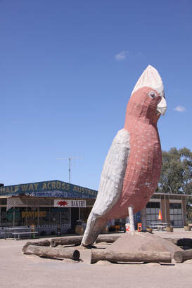
~ an eight metre high model known as the Big Galah (a colourful common bird)
~ a "Halfway across Australia" sign
~ murals at the Recreational Reserve
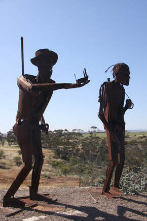
~ Edward John Eyre (early explorer) and his indigenous tracker sculptures situated on
Whites Knob, a local lookout point
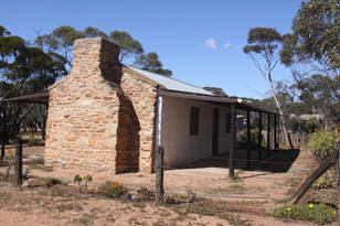
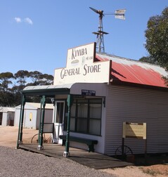
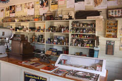
As well as the previous quirky sites, we also visited the small Kimba and Gowler Ranges Historical Museum. This whole museum is run by volunteers who not only maintain the complex but also act as guides. There was a Pioneer House dating from 1908, a Government Shed Settlers Home, a One Teacher School, a Pioneer Store, a Pine and Pug Cottage, fire engine house complete with early fire engine and many farming related carts, tractors and tools, all set in mallee parkland.
Our intention had been to spend the night at Kimba and pass straight through, but today proved to be a very full and interesting day.
Friday 12th October
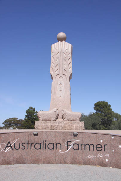
Today we continued our journey west along the Eyre Highway. Arable lands spread as far as the eye could see on both sides of the almost deserted road. Only a narrow strip of scrubby bush land and now much smaller mallee (gum) trees separated the road from the growing grain. At Wudinna we stopped to view the stylised statue of the "Australian Farmer". The granite statue is 8 metres tall and celebrates the spirit of Australian farming communities from the days of the pioneers to the challenges facing rural living in the 20th century. The statue has four faces each one symbolic of life in the area, while around the curved bases of each section, plaques name the early settlers and community involvement.
The milk and the meat, and the fruit that you eat.
The butter you spread on your bread.
All come from the toil, of the man of the soil.
And that's how Australia is fed.
For most of the day we've been following the pipeline which brings Murray River water to the area. It drizzled for a few minutes this morning but the climate here does not produce sufficient regular rainfall so Murray water is vital to the small communities and farms in the area. Apparently, in the early 1900s, the local farmers banded together and told the Government that if they didn't get water "They could have their land back"!
We've found that many 24 hour parking lay-bys in this area are small and shared by lorries so when we spotted a much better one we stopped just short of Ceduna for the night
Saturday 13th October
Still on the Eyre Highway today but the scenery is definitely changing with fewer cereal crops and more scrubland, some sheep rearing but no evidence of cattle grazing. The road has mallee scrubland on either side but the trees are more stunted.
We stopped at Ceduna for fresh produce, a wifi outlet eluded us, so with only roadhouses along the next 1000 miles we've no chance of downloading emails or updating the blog.
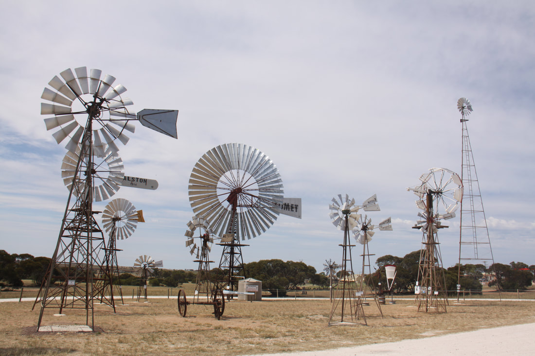
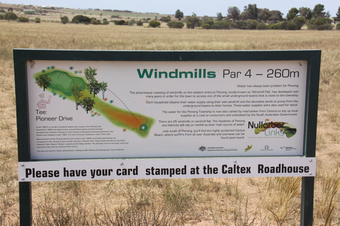
Penang was the only other settlement we passed. This is known as the town of windmills with over one hundred, including the largest windmill in Australia. We also visited the Woolshed which was built in the 1860s. Following renovation it is now a small museum and showcase for local arts and crafts. Hole 3 of the world's longest golf course is in Penong. The Nullabor Links is an 18 hole course spread over 1,365 Kim's, with one hole in each participating settlement or roadhouse. The course runs from Ceduna in South Australia to Kalgoorlie in Western Australia. As we left Penang we passed the general store and a sign advising us that it was the last shop for 1,000 miles.
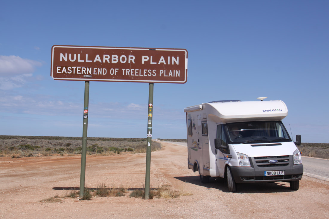
As we headed further west, storm clouds were gathering so we decided to stop a little early for the night, gaining some shelter from a few spindly trees - this area is not known for its trees! We were not quite on the Nullabor Plain yet (Nullabor means "No trees"), but even here, there were virtually no trees, just a few stunted bushes.
Sunday 14th October
Last night's wind had died down by this morning, the rain had been almost nothing. However, it was overcast, a welcome change after yesterday's heat and humidity.
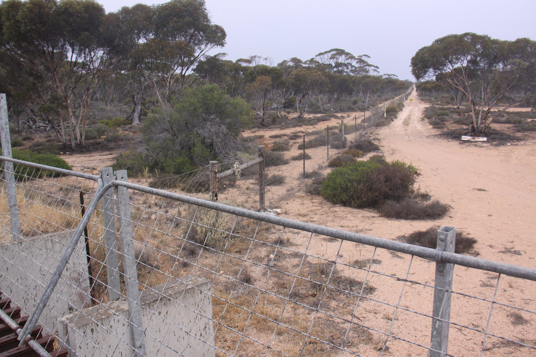
Not long after leaving our overnight rest area, we reached the dingo fence which lies between Nundroo and Yalata on the Eyre Highway. A grid across the road marks its exact position. The fence was built in the 1880s and from our viewpoint it stretched away into the distance. In fact the fence is over 5600 km long and winds its way across South Australia, New South Wales and Queensland.
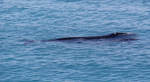
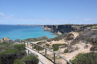
We stopped for a photo at the sign indicating the official start of the Nullabor, then a little further on at the Head of the Bight. Here, in the waters sheltered by the high Bunda cliffs is a "whale nursery". Over a hundred Southern Right Whales gather here to give birth to their calves. The females then nurture their young in the shallows and protect them from predators until they are strong enough to venture further south. Although it was almost the end of the whale viewing season we were fortunate to see a mother and calf close inshore.
Our lunch halt was by the Nullabor Roadhouse where everyone stopped to fill up with fuel - filling stations out here can be up to 200km apart and fuel is expensive.
The next stretch of the highway runs very close to the coast and there are a number of viewing areas to stop at. Here the crumbly limestone cliffs are over 90 metres high and drop sheer into the Southern Ocean. They are believed to be the longest line of sea cliffs in the world, stretching for more than 1160 kilometres.
Our overnight halt was by these cliffs and by dusk the parking area was full of caravans and motorhomes.
