Alaska Highway
Monday 28th May
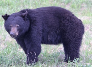
After filling up with fuel (and food) we stopped at the Visitor Centre to pick up information on travelling north. Lunch stop by Walmart at Prince George. After Prince George the scenery became more dramatic and wilder – lakes, forests and mountains. We saw two black bears and an elk on the road’s verge.
We crossed through the Rockys using the Pine Pass – a ski area – still snow on the ground. It poured with rain which spoiled the views. We then followed a rote across a high plateau which gradually gave way to grassland and cattle ranches. We passed through a small town – Chetwynd where the road was lined with chain saw carvings.
After a long drive we overnighted at Walmart in Dawson Creek.
Tuesday 29th May
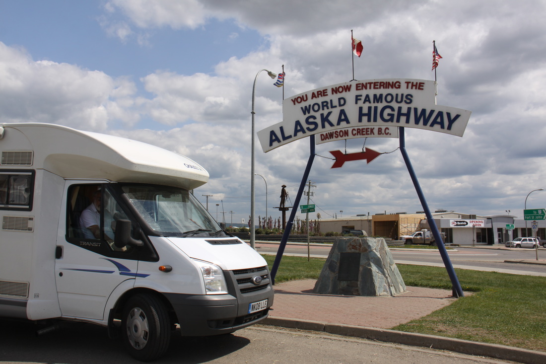
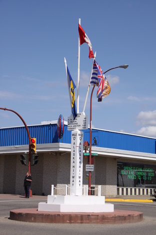
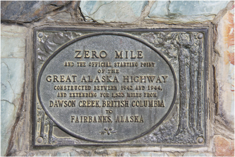
Went to the Visitor Centre which was located near Mile 0 of the Alaska Highway – more useful information. Took some photos of Nicolle by the marker post.
Next we visited the Alaska Highway House with its informative displays and film on the building of the Alaska Highway. The historical heritage walk through Dawson Creek was well marked but rather short – there were a number of fine murals on buildings.
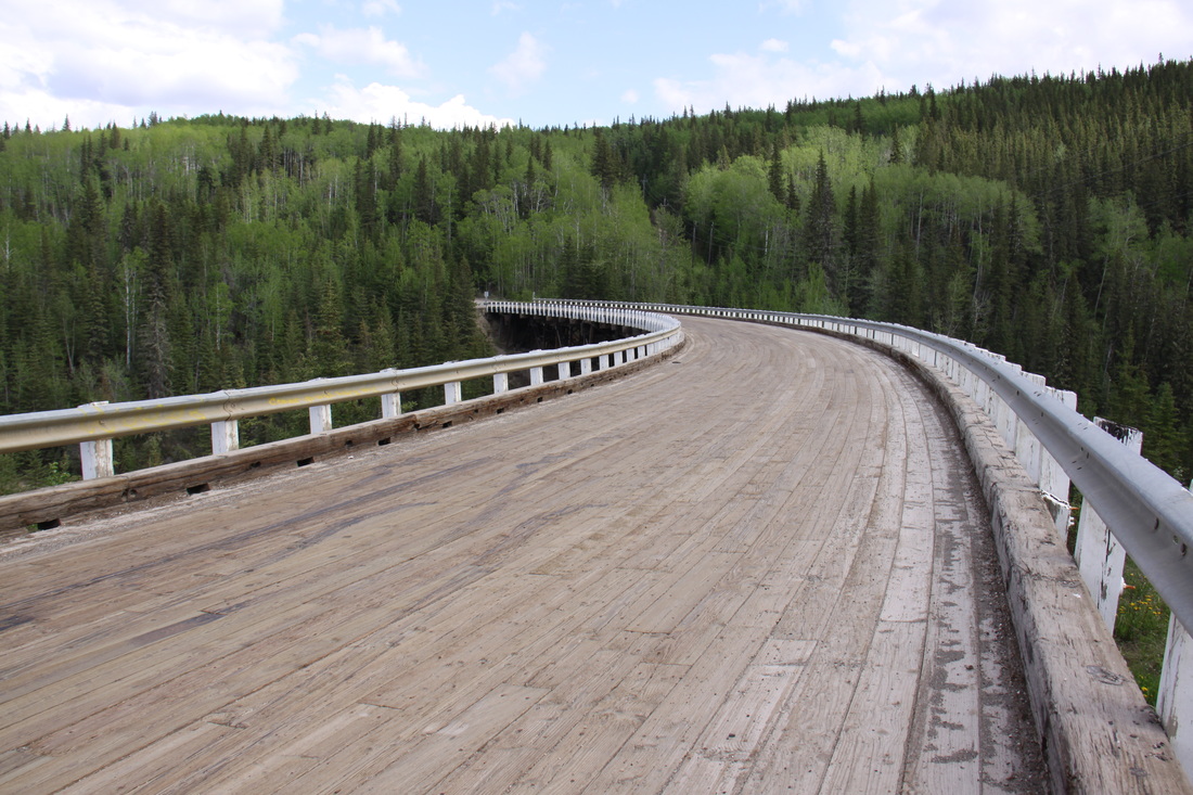
After lunch we set off along the Alaska Highway to Fort St. John, taking a short detour to see the historic Kiskatinaw Bridge and a stretch of original highway. The bridge is the oldest curved wooden bridge still in use. We crossed the Peace River on a modern bridge.
Overnight at Walmart, Fort St. John.
Wednesday 30th May
A long day’s drive through forests as we headed further north through British Columbia. In places the road was straight for mile upon mile with deep river valleys to break up the line of the road.
We stopped at Charlie Lake to see the memorial erected to commemorate the loss of 12 American soldiers who drowned there during the construction of the Alaska Highway.
A number of sections of the original road paralleled the modern road. We stopped at the Visitor Centre at Fort Nelson then headed further north – large bear sighted by the roadside.
Overnight at Steamboat Vista point.
Thursday 31st May
First stop of the day was a stop at Tetsa River Recreational Services where we bought a delicious cinnamon bun – similar in shape and texture to a bath bun.
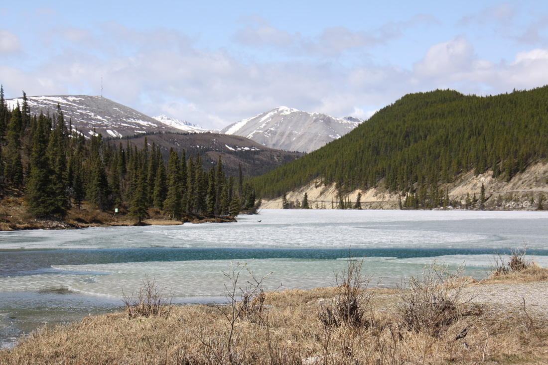
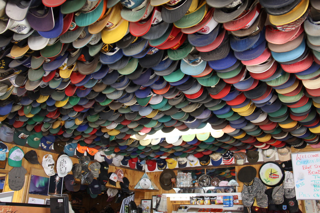
We stopped at Summit Lake – the highest point of the Alaska Highway. The lake was still frozen! At Toad River we viewed the collection of ±8000 hats that hang in the restaurant/gift shop area.
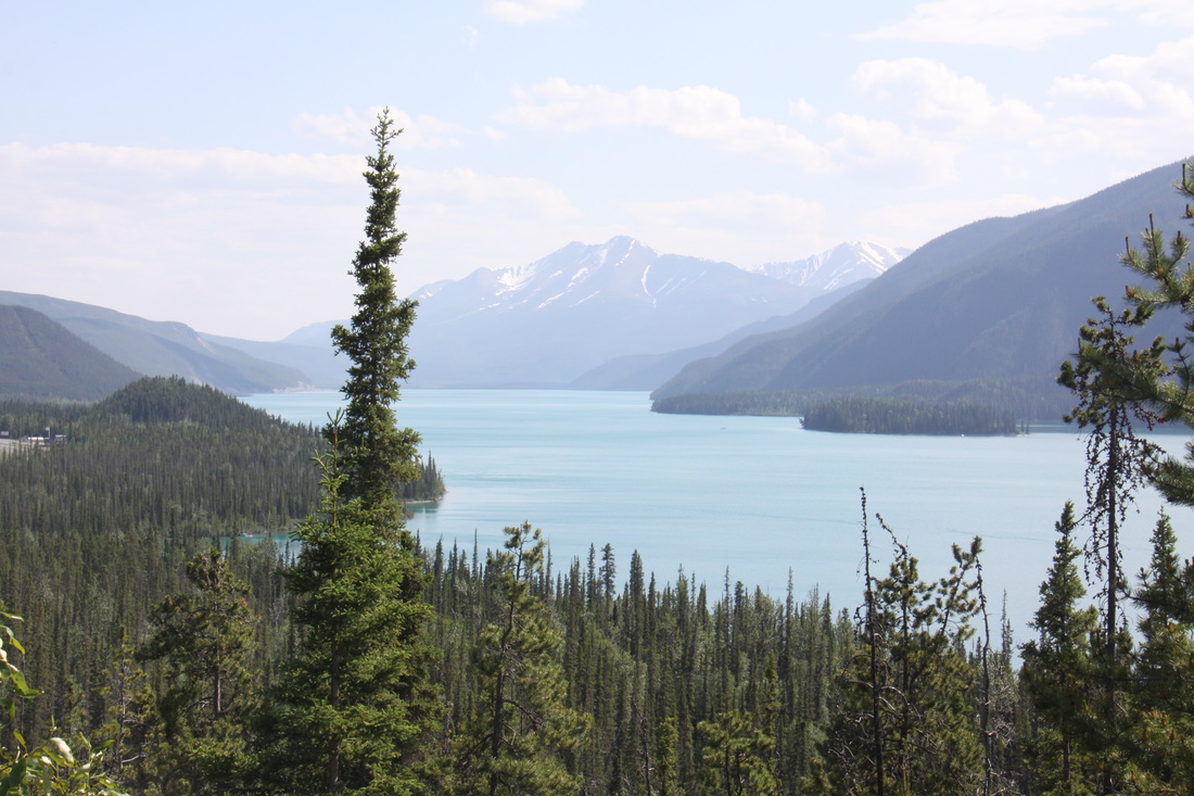
The road alongside Muncho Lake was narrow and windy – alluvial fans drained the snow and ice from the surrounding mountains.
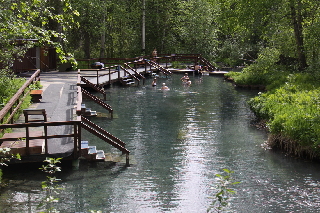
At Liard Springs we bathed in Alpha Pool – water temperature was 53°C.
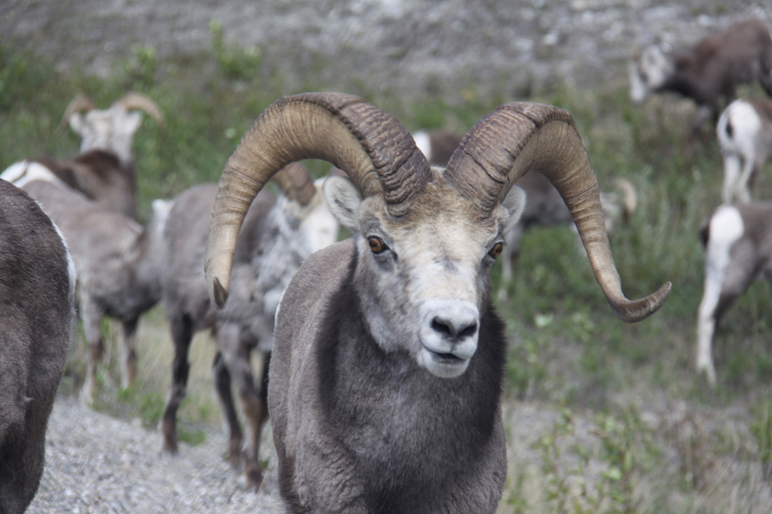
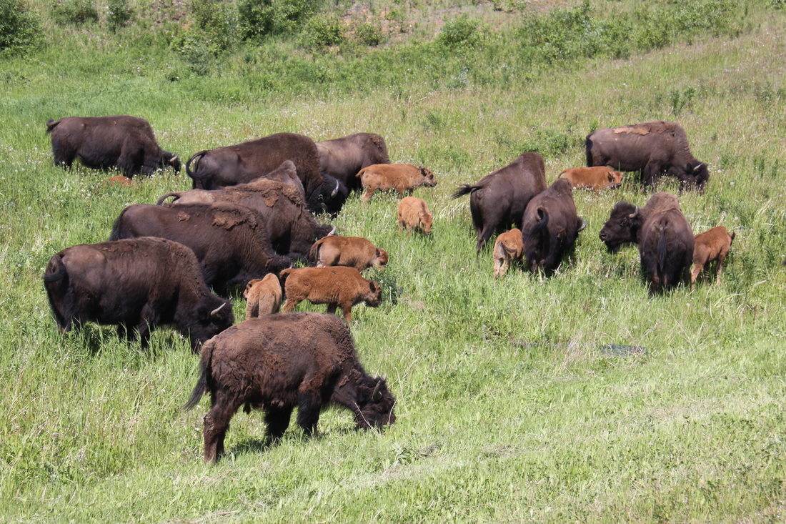
All day we passed Stone Sheep, Brown Bears, Moose and Bison grazing along the roadside verges.
Friday 1st June
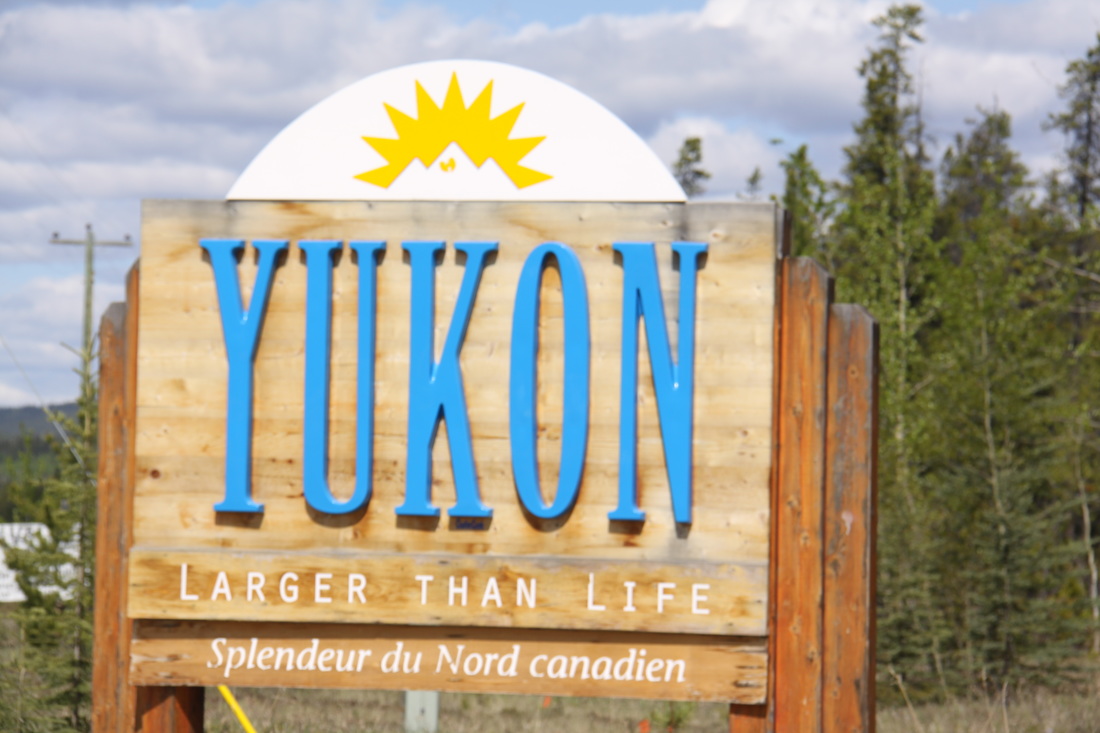
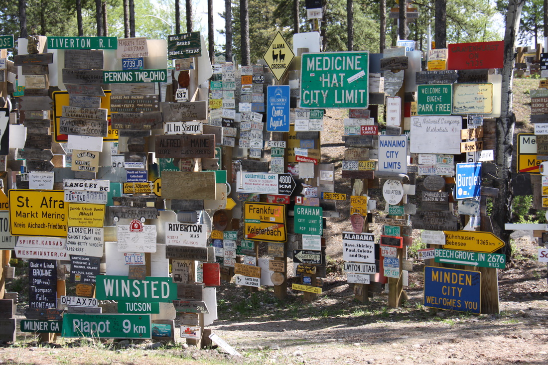
En route to Watson Lake, the next settlements of any note were a number of hamlets such as Contact Creek where the two crews who were building the Alaska Highway, finally met. We crossed into the Yukon before stopping at Watson Lake. At the Visitor Centre we watched a short film about the highway in the Yukon. Across from the Centre was the Forest of Signs – 70+ thousand different signs.
We had to stop at a Yukon Traffic Police road check point – asked to see John’s driving licence.
Overnight on a large grassy area just north of the Continental Divide.
Saturday 2nd June
A morning’s drive through the Yukon to Whitehorse.
Whitehorse is very much a frontier town but it has a good feel to it.
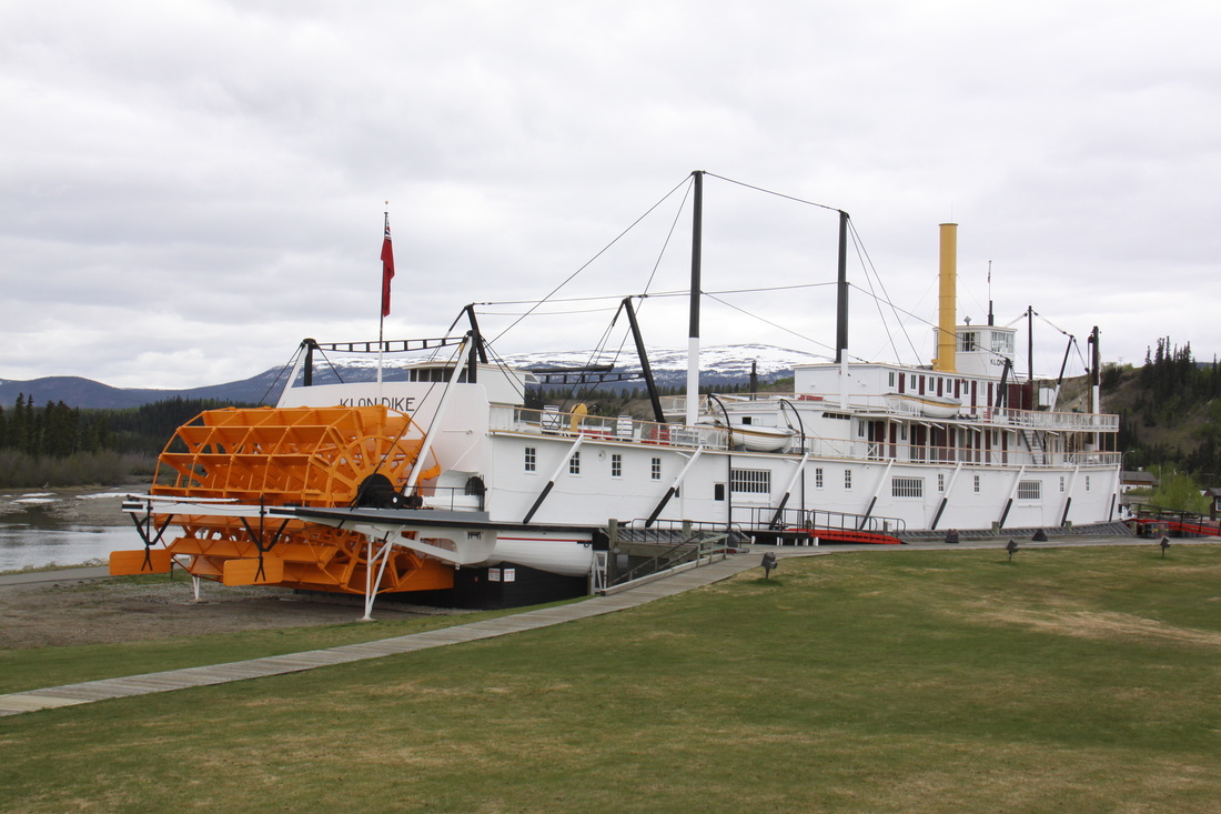
We took the trolley to the Rotary Peace Park where we viewed the SS Klondike, one of only two left river steamers – interesting video using vintage footing.
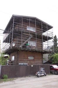
In the town we visited the log “skyscrapers” both still lived in today.
Overnight at Walmart – full of RVs!
Sunday 3rd June
After a very quiet night we stocked up on shopping before setting off. The traffic on the Alaska Highway was noticeably less.
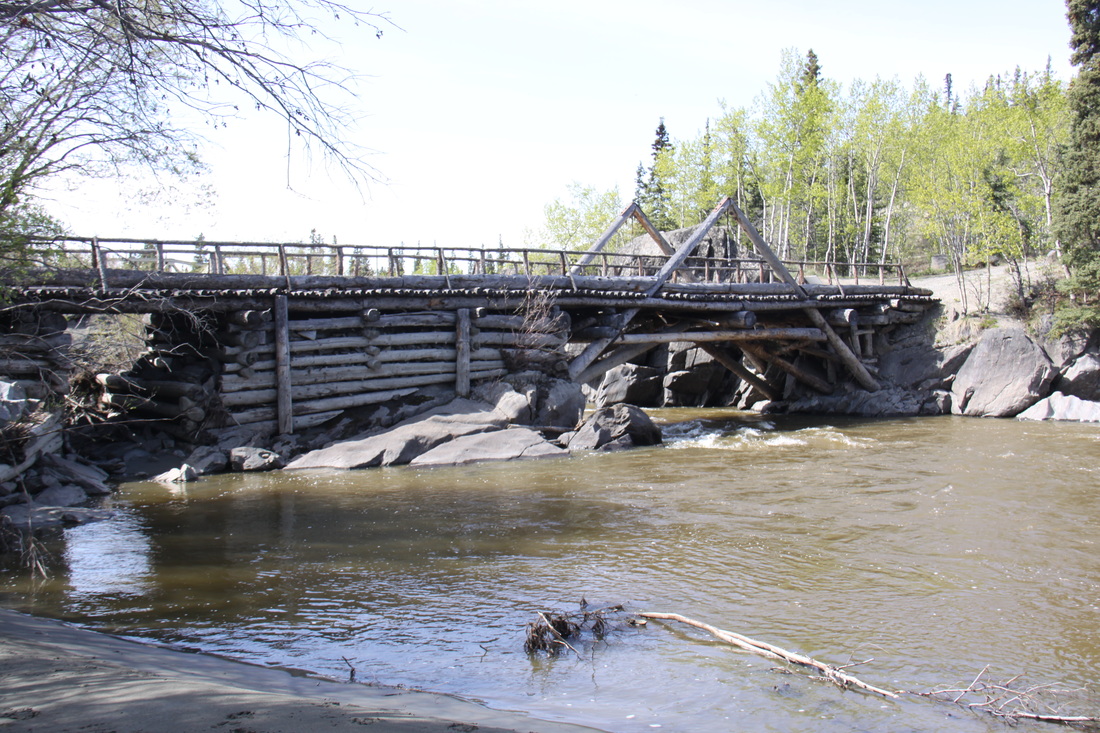
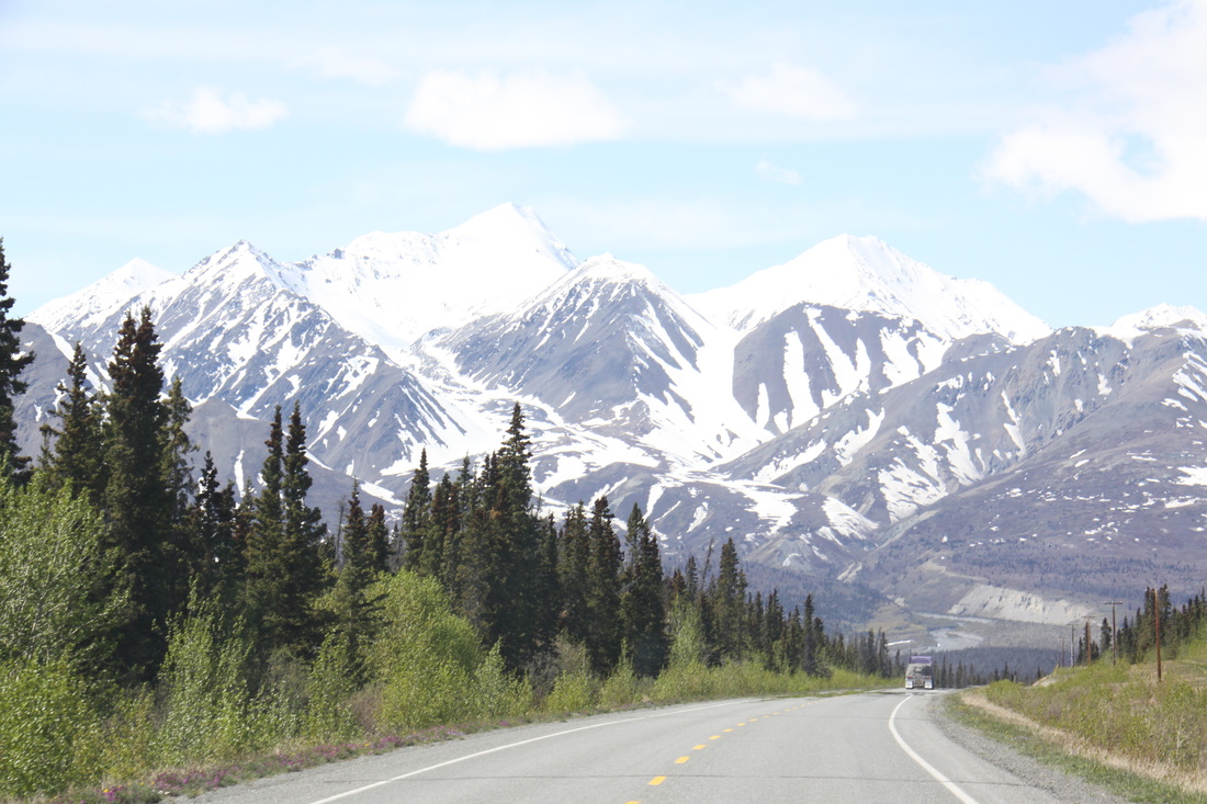
We stopped at Canyon Creek for lunch. An original log bridge still spanned the creek – pedestrians only nowadays. We stopped on the southern shore of Lake Kluane surrounded by some of Canada’s highest peaks. Nicolle was given a good wash using the crystal clear lake water – unfortunately there were a lot of mosquitos about. Overnight on a patch of grass north of Burwash Creek.
Monday 4th June
Drove the final stage of the Canadian section of the Alaska Highway – the road was frost damaged in many places but the worst sections were clearly marked. Lots of mosquitos!
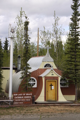
Saw the Nissan hut church at Beaver Creek.
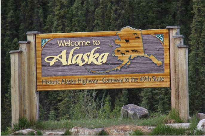
Crossed the border into Alaska. Fortunately we were able to renew our visa waver for a further 90 days – a great relief.
We stopped in the village of Tok to access mobile signal – no messages or emails
Overnight in a lay by just north of Tok.
Tuesday 5th June
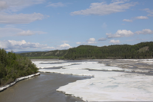
The last stretch of the official Alaska Highway crossed between the mountains and forests of the central corridor of Alaska. There were a number of wide river crossings including one which was still full of large slabs of ice.
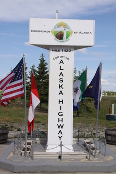
We reached Delta Junction mid morning and took photos of the end of the Alaska Highway.
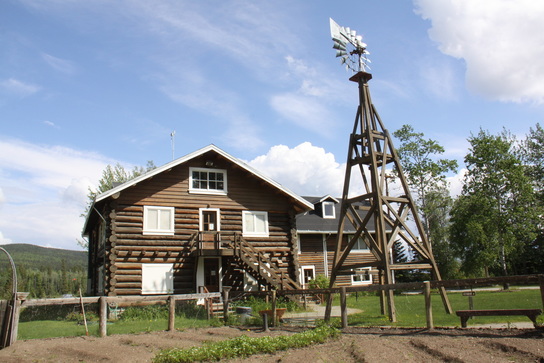
We stopped to view Rika’s Roadhouse, an original set of buildings that served travellers heading to and from Fairbanks – interesting and informative. Nearby a bridge carried the Trans-Alaska pipeline over the Tanana River.
After lunch the weather changed and it rained most of the way to Fairbanks.
Overnight at Walmart, Fairbanks.
Spent the next couple of weeks exploring Alaska, Yukon and North West Territories[click] before returning to the Alaska Highway and heading back to Canada.
Friday 22nd June
We took the Tagish road and from there rejoined the Alaska Highway. The further toward Watson Lake we drove, the better the scenery. We passed the scene of the recent washout that had closed the road for four days, just before the Continental Divide.
We made a bad decision – to leave the Alaska Highway and take the Stewart Cassiar Highway instead. This road was in poor condition, very narrow and with big drops on both sides of the road. Heavy logging trucks were charging through and we did not feel safe. We made the decision that we would retrace our steps in the morning and return to the Alaska Highway.
Overnight at Beaver Dam rest area.
Saturday 23rd June
The first hour was spent returning to the Alaska Highway – we both felt very relieved when we left the Stewart Cassiar Highway.
There was far more traffic today but the road was good so we had a quick run down to Watson Lake where we stocked up on groceries.
We had a short stop at Coal River for a Danish pastry and to access the wifi.
We made the mistake of not filling up with diesel when prices were low so ended up having to top up with the most expensive fuel to date - $1.99 a litre.
We met a large herd of bison with many calves.
Overnight in a layby just south of Muncho Lake.
Sunday 24th June
Sue’s birthday. A leisurely start to the day –opening cards and presents.
We drove to the Tetsa River Lodge and had a cinnamon bun – delicious. We then had a long day’s drive – a further stone chip needs to be repaired and Nicolle’s engine is causing a little concern so we need a Ford dealer – thus the decision to push through to Fort St. John.
Overnight on Walmart carpark.
Monday 25th June
We spent the morning at Fort St. John having the stone chip repaired and an oil change for Nicolle.
We drove a short distance to Dawson Creek where we stayed overnight at Walmart carpark.
[click] to continue our journey through the Canadian Rockies
[click] to return to Home Page
