New South Wales
|
Saturday 11th August
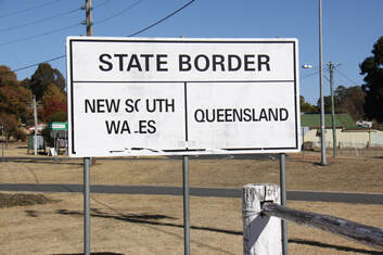
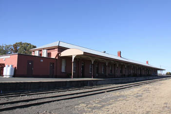
The small village of Wallangarra, where we spent last night, straddles Queensland/New South Wales with Jennings being the village abutting the border to the south. The railway station is on the actual line of the border. On one side the track is the narrow gauge of Queensland, on the other side it is the wider New South Wales gauge. Even the design of the two sides of the platform are different. Passengers and goods travelling between the two states had to disembark here and change trains! We made a service stop at Tenterfield. The helpful local tourist office was a good place to gather information ready for our exploration of the state of New South Wales. From Tenterfield we headed east along the very scenic Bruxner Highway. Although the speed limit was 100 km/hr, the road twisted and turned, rose and dipped as it crossed the Great Dividing Range to the extent that our speed barely rose above 50. It was an incredibly beautiful drive through thick forests and deep gorges. At one point we crossed a very wide river on a single track wooden bridge! Tonight we stayed next to the rugby pitch in the small village of Mallaganee where time seemed to have stood still for the past fifty years. |
Sunday 12th August
Today we continued our scenic drive across the Great Dividing Range towards the coast. The parched landscapes that we had come so used to seeing were definitely greener now.
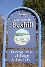
We drove through the tiny village of Bexhill. I lived in Bexhill, East Sussex. John and I were married there and our eldest daughter was christened there!
We stopped in the little town of Casino as there was a motorhome service area. Our fresh water tank was getting low so we were relieved to find a filling point. Our search for wifi was not so successful as we couldn't get on line even in McDonald's.
New South Wales doesn't appear to have many 24 hour stop overs on its main roads so tonight we ended up at the showgound campsite in the small inland town of Mulumbimby.
Monday 13th August
A short drive this morning brought us back to the Pacific coast at Byron Bay. We had last seen the coast at Hervey Bay in Queensland some two weeks ago. We are now noticing a real increase of traffic on the Pacific Highway.
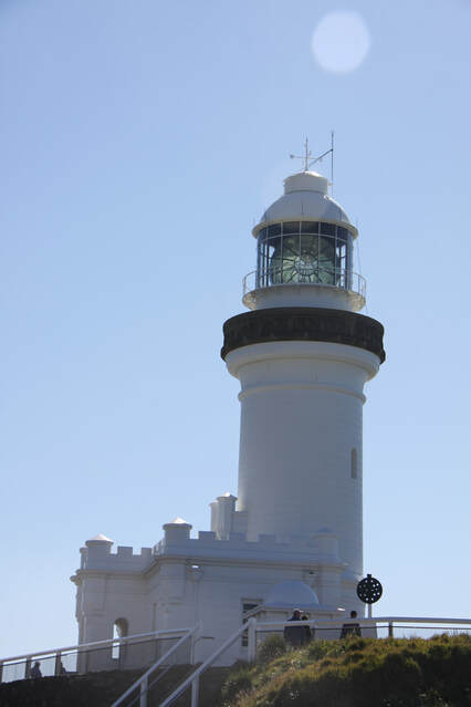
Byron Bay is an upmarket seaside resort with miles of golden beaches, but it was Cape Byron, the most easterly point of Australia that had drawn us there. Unfortunately, but not entirely unexpectedly, it was busy there. The road up to the lighthouse on the tip of the cape was narrow, twisting and congested. Parking at the top was impossible so John hovered whilst I took a few photos - not good ones as the sun was right behind the lighthouse - before we headed back down into the town. We would have waited forever if we had wanted to park at the top.
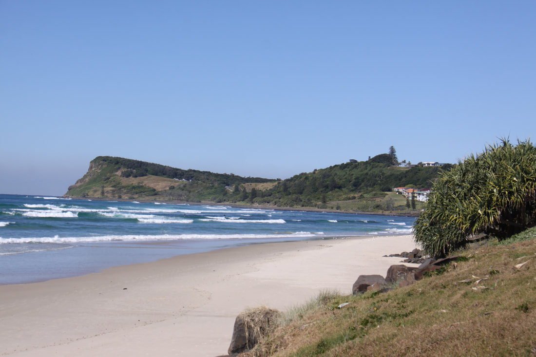
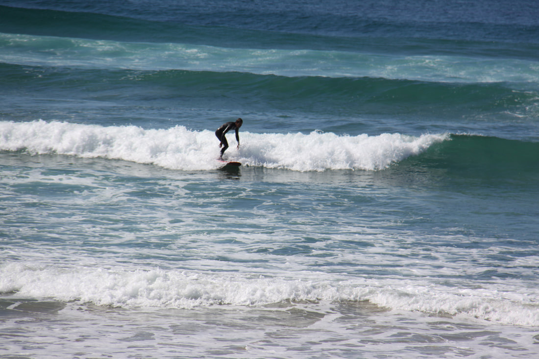
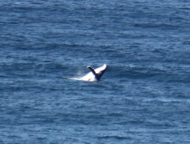
A few miles further south than Byron Bay and at the other end of a gorgeous stretch of beach known as Seven Mile Beach was the pretty and far less busy little resort of Lennox Head. Below the headland itself is one of the best rated surfing spots in the world. We parked near the top of the headland and were treated not only to some top quality surfing but also the antics of a pod of whales close inshore. Evidently they had been there for a number of hours.
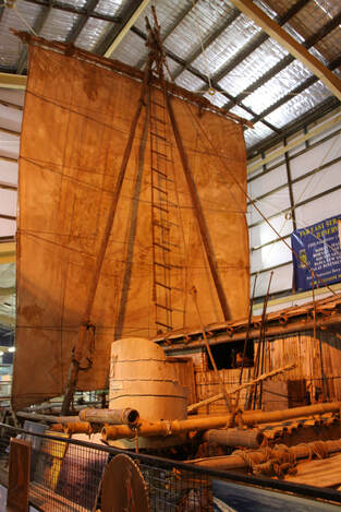
We continued south along the coast to Ballina an old port situated at the mouth of the Richmond River. Fish and chips for lunch were on our menu but it was Monday and the harbourside cafe was closed! However the fascinating Maritime Museum was open with its prize exhibit being Las Balsas, a raft constructed out of balsa wood. In 1973 three rafts set out from Ecuador to sail across the Pacific Ocean. One was abandoned at sea but the other two made it to make landfall at Ballina, the world's longest recorded raft voyage at 8000 miles.
Our rather noisy halt for the night was by a museum in Little Italy, located on the main road south.
Tuesday 14th August
Our route today took us south along the very busy Route 1 - the Pacific Highway. As this section was being realigned and upgraded to a motorway, there were constant changes of speed limits, some as low as 40km. All very frustrating at times.
We stopped at Grafton for shopping. The town is well known for its jacaranda and flame trees, but it was not yet Spring so none were in flower.
After a stop for lunch at Coffs Harbour we headed inland to pick up the route of the 200km long Waterfall Way, but that will be for tomorrow as we found a lovely quiet overnight rest area and decided to stop there for the night. It is so peaceful compared to last night's stop with its constant road noise.
Wednesday 15th August
A short, very steep drive along the Waterfall Way took us up the eastern escarpment of the Great Dividing Range to Dorrigo National Park, an area of primeval rain forest dating back to before the Australian land mass drifted apart from Gondwana. Because of this, the park has been given UNESCO World Heritage status.
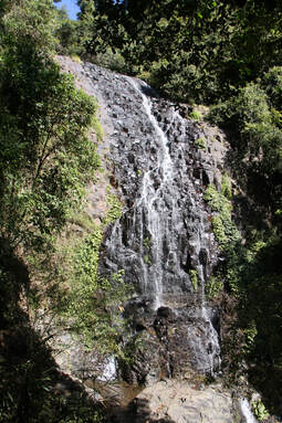
We decided to walk the 6.6km Wong Walk which took us along the escarpment following successive flows of basalt and deep down into the river cut ravines. We passed two spectacular waterfalls - Tristania and Bridal Showers - on route. The path was steep and narrow in places but to walk through these ancient, lush and tall forests was a real experience despite our aching legs.
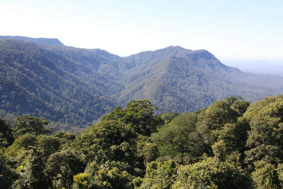
From the rainforest centre we walked along a high tree top walk over the edge of the escarpment where the view was incredible although a little hazy. A second broadwalk at the mid-forest level gave us a chance to listen to birdsong even though we couldn't spot the birds!
As a reward for our strenuous walk, we treated ourselves to an excellent lunch, all home cooked in the Canopy Cafe at the National Park Centre.
The short drive to the hamlet of Ebor, where we stayed for the night, was a delight. Rolling pasture land, forested slopes and distant views made it a fitting end to a perfect day.
Thursday 16th August
No driving today as we were in need of a rest day. As the rest area where we spent last night was pleasant and quiet, it was the perfect spot to stay another night.
We spent the morning cleaning Nicolle, both inside and out, and doing some hand washing. The afternoon was spent relaxing in the sunshine.
Friday 17th August
It is definitely much cooler at night now that we are heading further south. Minus 2 was recorded on our thermometer last night.
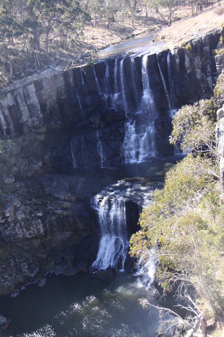
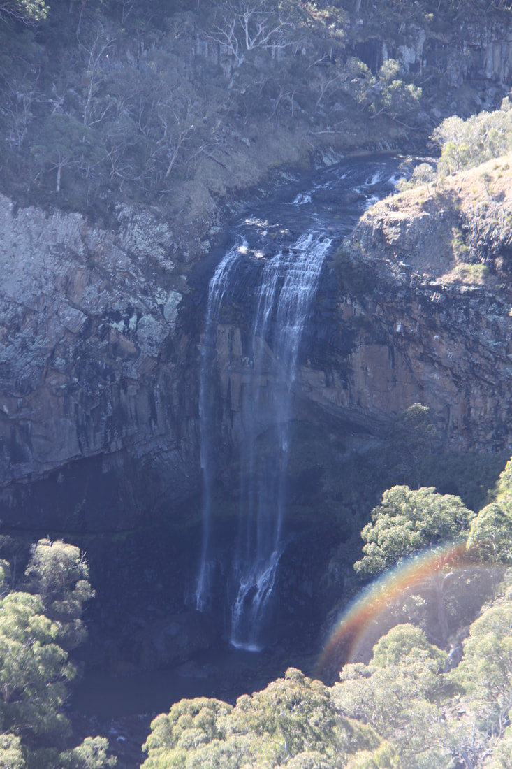
Very close to our overnight stop were Ebor Falls, a beautiful two-tier waterfall. Despite the ongoing drought in this area of New South Wales the water continued to flow. The upper tier, consisting of a double fall, was spectacular as the water plunged over the escarpment edge, whilst the lower tier of the falls was a single but longer drop.
We walked from the upper viewing platform along a path through the eucalyptus forest to the lower viewing platform. There were far reaching views across the gorge and escarpment.
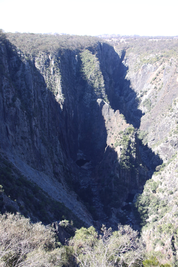
Further along the Waterfalls Way were the Wollomombi Falls and Gorge. The Wollomombi Falls at 260 metres are one of Australia's highest waterfalls. Unfortunately there was no water at all but the view of the deep gorge was impressive.
We passed signs to other waterfalls but these were all located down dirt roads which we were not prepared to attempt to drive. We stopped relatively early in the afternoon as there were no other 24 hour rest areas for many a mile
Saturday 18th August
Last night the temperature dropped to minus 5 deg C but by the time we were up and about it was up to 20.
This morning was spent in Armidale, a historic university town. The tourist office ran a free bus tour around the town but unfortunately it was fully booked for today. We also had hoped to visit Saumarez Homestead, a beautiful National Trust property on the outskirts of the town, but it is not open at this time of year.
We had decided to take the Thunderbolts Way south rather than the busy New England Highway. Soon after leaving Uralla - an unusual town as many buildings were made of brick, we passed Homeleigh at Irish Town near Walcha. This homestead was built in the 1850s and is still the original building.
Our overnight halt was on a rather windy and exposed rest area. According to the weather forecast tonight's low is expected to be minus 8!
Sunday 19th August
We woke to a cold and very windy morning so we're glad that we hadn't parked under a tree last night. There always seems to be a lot of dead branches under many trees!
Our plan had been to follow the Thunderbolt Way south towards Sydney, but after half an hour of driving along it, with the road surface deteriorating fast, we made the decision to re-trace our tracks back to Walcha and then head to the New England Highway and hopefully a better road south.
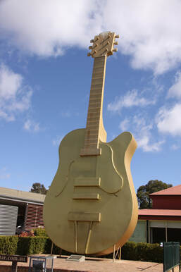
We stopped for lunch by the Tourist Information Centre in Tamworth, the home of the Golden Guitar which symbolises the town's self proclaimed title of being the country music capital of Australia. Inside is a collection of guitars autographed by Australian and international country music icons. Elsewhere in the town were further links to country music including a town trail incorporating plaques set in the pavement to commemorate the winners of the Golden Guitar Award.
New South Wales is proving difficult to find over-night rest areas, so like yesterday we had to stop early.
Monday 20th August
We woke to sub zero temperatures and ice on the inside of the windscreen. These past few days it has certainly felt like it is winter here. At least it warms up during the day, although with dusk around 5.30pm, the evenings are chilly.
The drive today was stunning - rolling hills dotted with stately trees but little green pasture as this is very much a drought stricken area. Many areas were used for rearing cattle or merino sheep. (There were signs on the roads warning of kangaroos. John was worried that the kangaroos might breed with the sheep and produce "Woolly Jumpers"!)
Around the town of Mudgee, vines are very much the master crop. Within the area there are more than thirty wineries. The wealth from the sheep and wine is certainly reflected in the many very fine buildings on display in Mudgee. The town dates back to 1800 and a number of its stately heritage buildings hold National Trust classification. We enjoyed a fascinating town trail round the centre.
We drove about 50 miles further on, still in the beautiful foothills of the Blue Mountains before stopping for the night at the rest area beside Ilford Village Hall.
Tuesday 21st August
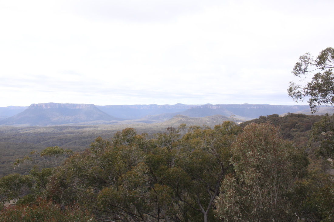
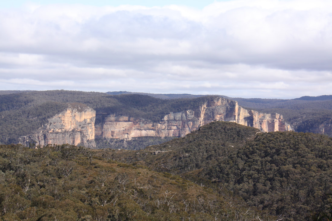
Following another even colder night and with the temperature inside Nicolle hovering just above zero, we wasted no time in getting up and setting off. We followed the highway south through beautiful countryside that soon became the northern edge of the blue mountains. We stopped at Pearson's Lookout from where the Capertee Canyon could be viewed. This is an enclosed canyon said to be 1 km wider than the Grand Canyon but not as deep. It certainly was an impressive viewpoint.
At the town of Lirhgow we took the Bells Line of Road which climbed steeply up to a spectacular hog's back ridge cutting across the Blue Mountains. This route was first undertaken in 1823 and to this day remains one of the most scenic routes into the mountains. Unfortunately, because of the very nature of the landscape, they were no proper stopping places to admire the incredible panoramas.
We had chosen to stop in the small country town of Richmond tonight as the Wanderest Camping area of the Richmond Club ($10 membership, free camping) was only a five minute walk to the railway station where there is a direct line into the centre of Sidney.
Wednesday 22nd August
Today's destination was Sidney - a must see place despite neither of us being a fan of big cities.
We took the very slow, stopping at every station, train into Sidney Central Rail Terminus. Yesterday we had bought a NSW Opal Card each so all we had to do was to "tap on" at the start of each journey, then "tap off" when you got off. The card could be used on trains, buses and ferries and a day's travel is capped at $15.80.
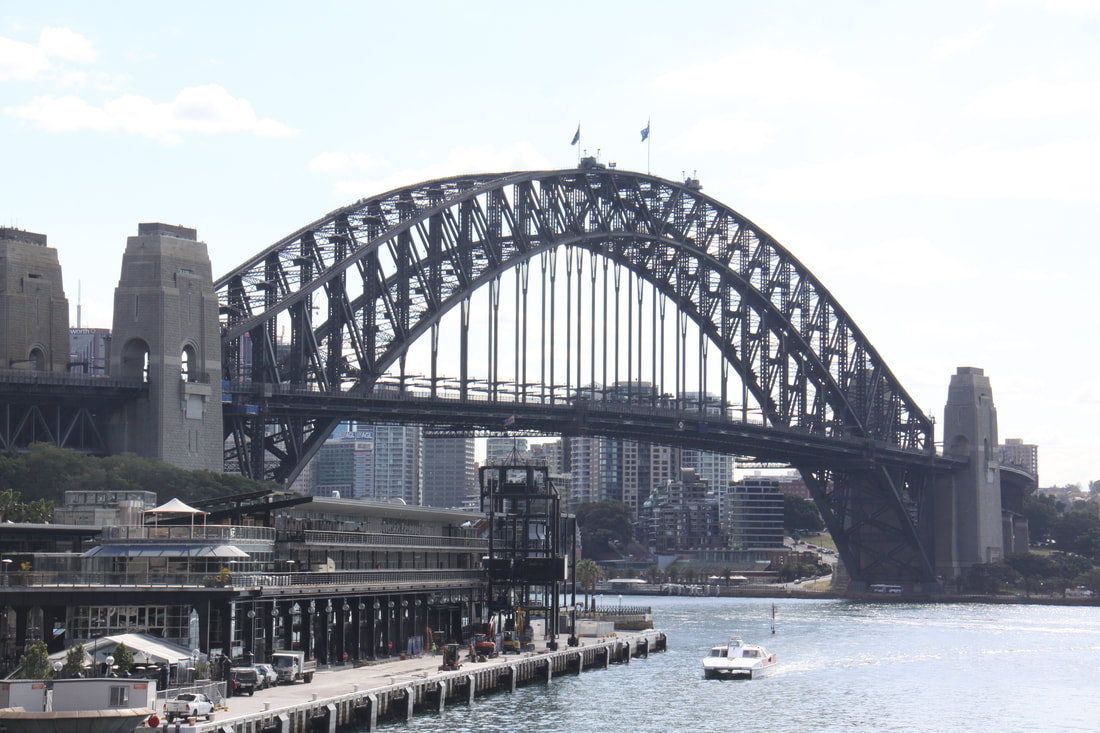
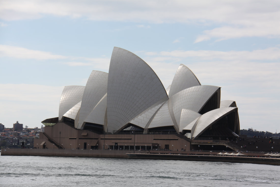
Our first visit of the day was to Circular Quay, the busy hub of the harbour area. As the railway station platform was elevated we had our first glimpse of Sydney's two most famous sights - the harbour bridge (with people climbing along it) and the opera house. On leaving the station viewpoint we walked the short distance to the iconic opera house then through a small part of the Botanical Gardens within which Government House is located.
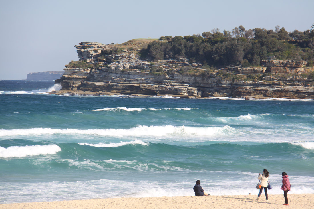
We then took a bus out to the famous Bondi Beach, a mecca for all surfing enthusiasts. The one and a half kilometre sweep of sand and surf had a few surfers in the water but basically the whole place had that out of season, closed down for the winter feeling.
Returning to the heart of the city, again by bus, we passed many of its other sights - St. Andrew's Cathedral, the site of the original governor's house, they cenotaph and the ultra modern Sydney Tower Eye.
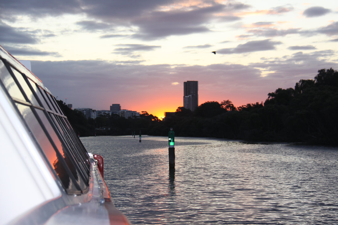
To complete our day in the city, we decided to take the fast ferry up river to the suburb of Parramatta. This was an incredible ride up the river from the main harbour. We passed close by the opera house, under the harbour bridge and past many skyscrapers. Sailing up stream we went by some very large expensive houses with riverside frontage and boats parked alongside. Towards the end of the journey the river was only about the width of the ferry as it meandered through the swamps. A shuttle bus took us from the ferry terminal to the railway station from where, tired but exhilarated after our day in Sydney, we caught the train back to the end of the line at Richmond.
Thursday 23rd August
A very different day from yesterday was planned for today as we were both tired from the hustle and bustle of Sydney.
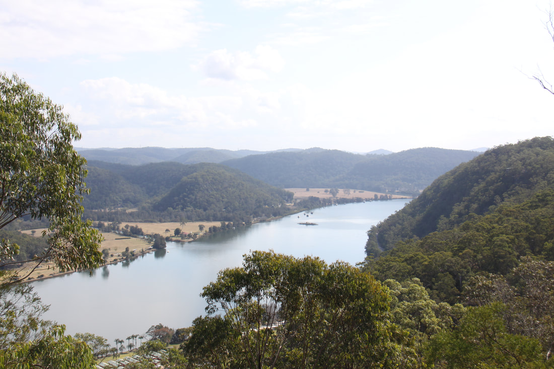
A short drive took us north through gently rolling countryside to the Hawkesbury River at Wisemans Ferry, a small hamlet on the southern shore of the river. Before reaching the ferry terminal we stopped high above the river at Hawkins Lookout where the view was amazing.
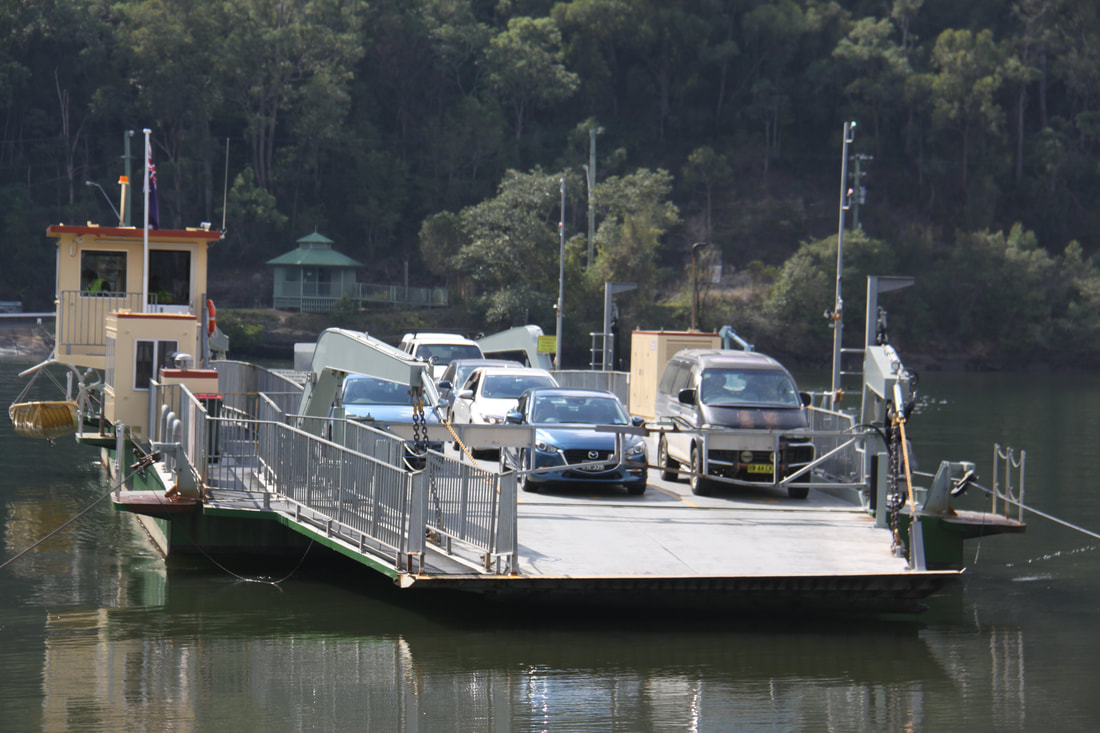
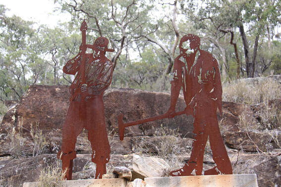
We crossed the river using the free car/passenger ferry, then walked uphill until we reached the turn onto Devines Hill, a UNESCO listed, preserved stretch of the Old Great North Road which was built to link Sydney with Newcastle and the Upper Hunter Valley. The road was built by convicts, many of whom were forced to work in leg irons.
We walked the 1.8km stretch of this road. It was a very informative walk as interpretive plaques gave a real insight into the construction of the road as well as details on the lives of the road engineers and the prisoner themselves, many of them having committed very minor crimes. The original Great North Road was 240km long and was built between 1826 and 1826. The life of the road however was short lived as shipping traffic developed establishing a more reliable route north.
We returned to Richmond via the small, beautiful heritage town of Windsor, having spent a fascinating day exploring some of the rich heritage of how the convicts who had been sentenced to transportation to the new lands now known as Australia, had helped to open up this vast land.
Friday 24th August
Our challenge today was to work our way across Sydney from Richmond, where we had been based for the last three nights, to Botany Bay, south east of the city. We wanted to avoid going anywhere near the centre and also avoid the motorways. Quite a challenge but we managed to do it although at times we were very confused. Richmond, Windsor, Liverpool, Penrith, Padstow, Menai, Canterbury, Chipping Norton and Scarborough, all within 20 miles of each other!
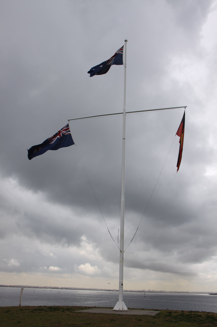
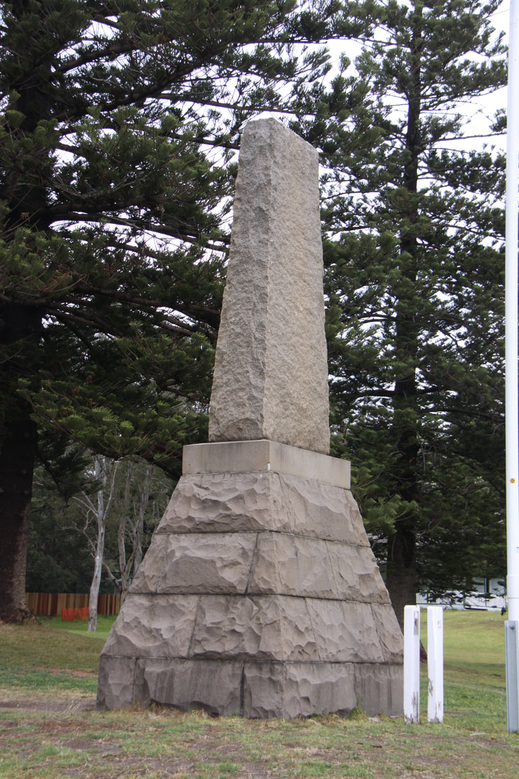
Still, we made it to Botany Bay and the spot where James Cook made his first landfall on 1770. Surprisingly, little has been made of this historic landing site, just a flagpole and a tall cairn with a faded plaque.
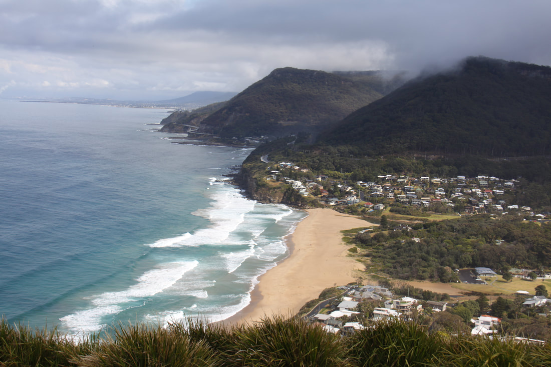
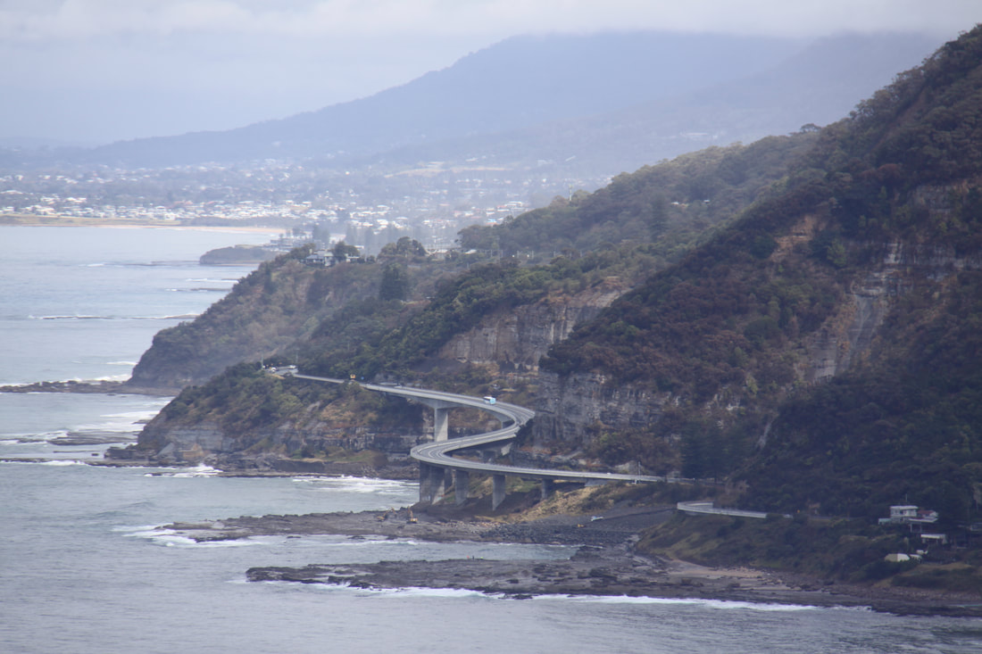
From there we continued driving south along Princes Highway until we reached the turn off for Stanwelll Park and the Great Pacific Drive. We had lunch at the incredibly situated Lawrence Hargrave Memorial Lookout. From here the coastal views were fantastic and far reaching despite the inclement weather. We next stopped by the iconic 665metre Sea Cliff Bridge which was constructed out over the wave cut sea platforms as the cliffs were too unstable for a road to be viable. A real jaw dropping bridge which we drove over first and then parked so that we could walk over it.
South of Wollongong we turned inland to climb over the narrow, many hairpinned Macquarie Pass to reach the Hoghlands and join the main road south to Canberra. The pass was a real feat of engineering and today, with the mist down it felt really eerie as it twisted and turned through the beautiful rainforest. Sheer drops, narrow bends and fog are not a good mix but we made it safely over. We reached the Canberra highway before stopping for the night.
South of Wollongong we turned inland to climb over the narrow, many hairpinned Macquarie Pass to reach the Hoghlands and join the main road south to Canberra. The pass was a real feat of engineering and today, with the mist down it felt really eerie as it twisted and turned through the beautiful rainforest. Sheer drops, narrow bends and fog are not a good mix but we made it safely over. We reached the Canberra highway before stopping for the night.
Saturday 25th August
After yesterday's long, difficult drive we left the Kingsbury VC rest area and drove the relatively short distance towards Canberra.
We took a short detour off the motorway at Goulburn to fill up with diesel and to access wifi. MacDonald's was right next door to the filling station so we went there and had a coffee whilst we downloaded emails and uploaded the blog. It poured with rain whilst we were inside, the first heavy downpour we've had since we were in Western Australia in April, touring the south west corner of the state before Nicolle arrived.
Just before we reached the Australian Capital Territory, we drove along the shoreline of Lake George which strangely is not a lake. Due to drought the whole lake has dried out completely.
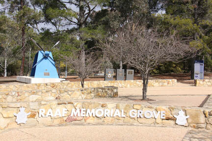
We stopped just short of Canberra at the Hughie Edwards VC rest area where there is the Royal Australian Air Force Memorial Grove. The Hume Highway has been dedicated as a Memorial highway and the rest areas are named after Australians who were awarded the Victoria Cross.
