Victoria
Tuesday 28th August
A very cold start to today, minus 5 deg C outside and just one degree above freezing inside Nicolle, but the sun was shining and we soon warmed up. To begin with we passed through beautiful rolling countryside with sweeping views across the very dry land. Sheep and cattle were somehow finding enough grass on which to survive.
We made a brief stop at the small town of Jindabyne which nestles below the high peaks of the Snowy Mountains and on the shore of a lake of the same name. This lake was created when the Snowy Mountain Scheme dammed the Snowy River and drowned the original settlement of Jindabyne. (I learned about this in school!)
From here the Alpine Way continues to the entry point of the Kosciuszko National Park. As we were only driving through the park we did not have to pay the daily fee. We were told that at this time of year it was obligatory to carry snow chains and that we should hire them at Thredbo, the alpine ski resort. All very well if anywhere had been open! We had to take the risk that we wouldn't need them which luckily we didn't.
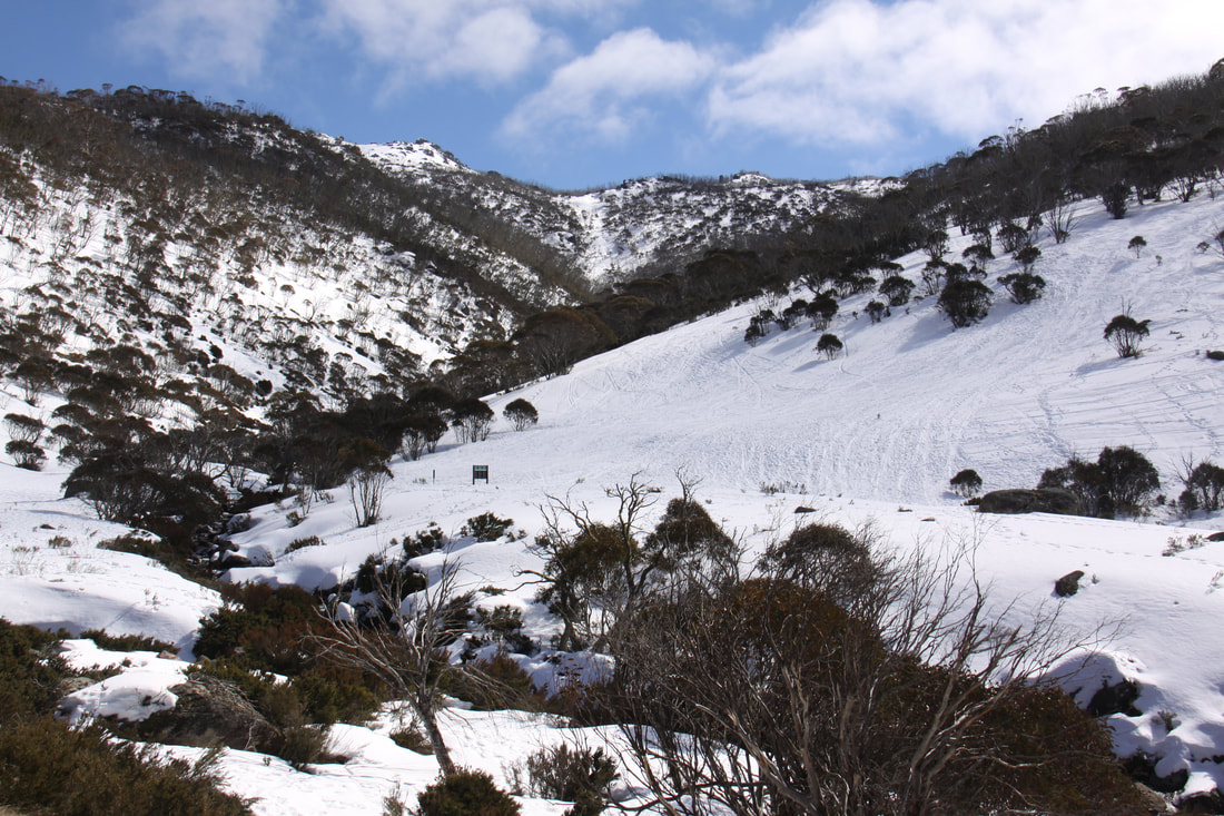
Thredbo was a true alpine village clinging to the hillside below Mount Kosciuszko. There was plenty of snow even down to the level of the village and all the slopes were open for skiing. It was a very busy little place.
From Thredbo the road climbed steeply up through high banks of snow to Dead Horse Pass. From there it was 60km of twisty narrow roads through majestic forests with tantalising glimpses of snowy mountain peaks. There was virtually no traffic on the road which was as well for there were many blind bends. We made a brief stop at Scammel's Ridge Lookout. From here there was a marvellous view along the western flank of the range with its snow covered peaks dominated by Mount Townsend.
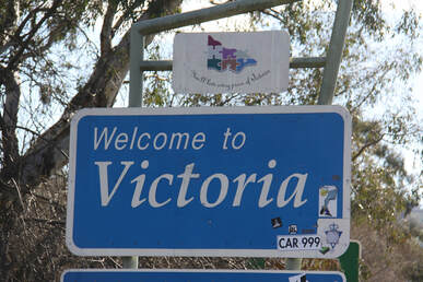
As we approached Khancoban the whole colouring of the landscape changed - green lush pastures instead of dry, dusty landscapes. We crossed the border into the state of Victoria before stopping for the night in the pleasant little town of Corryong.
Wednesday 29th August
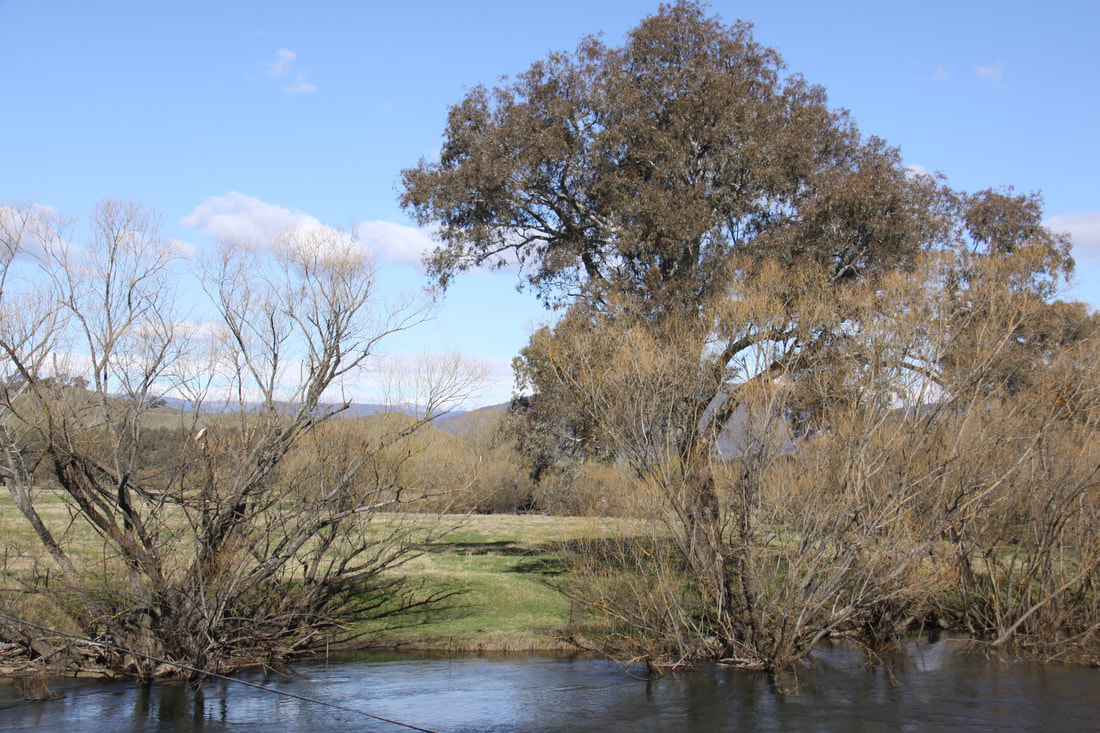
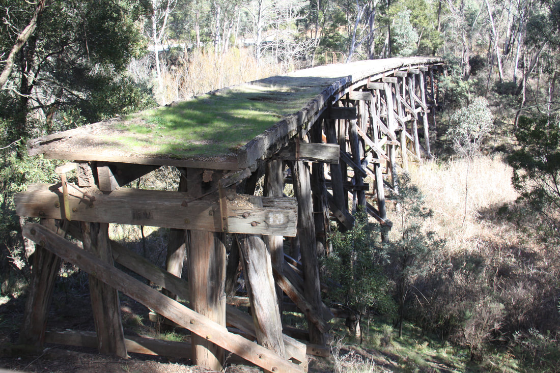
After a very peaceful night in the RV friendly town of Corryong, we followed the Murray River Highway westwards, passing through pleasant rolling arable lands. It was a quiet road so we were able to enjoy the scenery. We stopped to view one of the historic rail trestle bridges near Koetong and then at the site of Old Tallangatta, with its streets and remains of some of the buildings still visible. This settlement was abandoned due to regular flooding and the rising waters of nearby Lake Hume, part of the Snowy Mountains Scheme. The lake is shallow and hundreds of dead trees can be seen rising above the water. The new town of Tallangatta describes itself as "The town that was moved in the 1950's".
A pretty cross country drive through vineyards and small farming villages took us to Beechworth, a historic former gold rush town. The wealth from the Ovens Goldfields meant that many of the town's key buildings were built of honey-coloured granite. The area is now designated as Beechworth Historic Park. We stretched our legs by following a town trail before heading to our overnight stop out of town.
Thursday 30th August
We woke to a dull overcast day, such a contrast to the months of wall to wall sunshine that had become the norm.
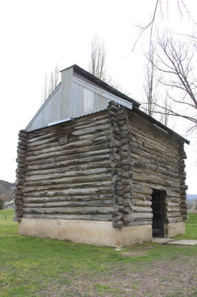
Today we headed in a southerly direction along the Great Alpine Road. As we approached Myrtleford we noticed many cylindrical shaped buildings with conical roofs dotting the landscape - these we were to discover were kilns for drying locally grown tobacco. In the town was a log built kiln dating from 1957. The tobacco growing industry ceased in 2006 when it was cheaper to source leaf from overseas. Today the area has diversified and we spotted signs advertising wine, walnuts and hazelnuts, olives and cherries for sale depending on the season.
At this time of year it is compulsory to carry snow chains on the next stage of the road - and yes, the police do check and fines are steep (at the top of the mountain pass John was breathalysed and we were required to show that we had chains). Heavy snow was forecast for tonight and tomorrow but the roads were dry today and we didn't need to fit the chains. We had, however been given instructions on how to fit them, by the man at the ski hire shop together with details of where to drop them off at the other end of the pass.
Harrietville was a small picturesque mountain village situated just before the climb up to the ski slopes at Mount Hotham. It was an old gold mining settlement where dredging for gold continued until the 1950s.
From Harrietville the road started to climb steeply through deep forested valleys. The road was wide but the precipitous drops to the valley floor had no crash barriers so it was a hair raising drive. Luckily there wasn't too much traffic. Most of the drive was through Alpine National Park so it wasn't until the final ridge along the road that you had views across the mountain range.
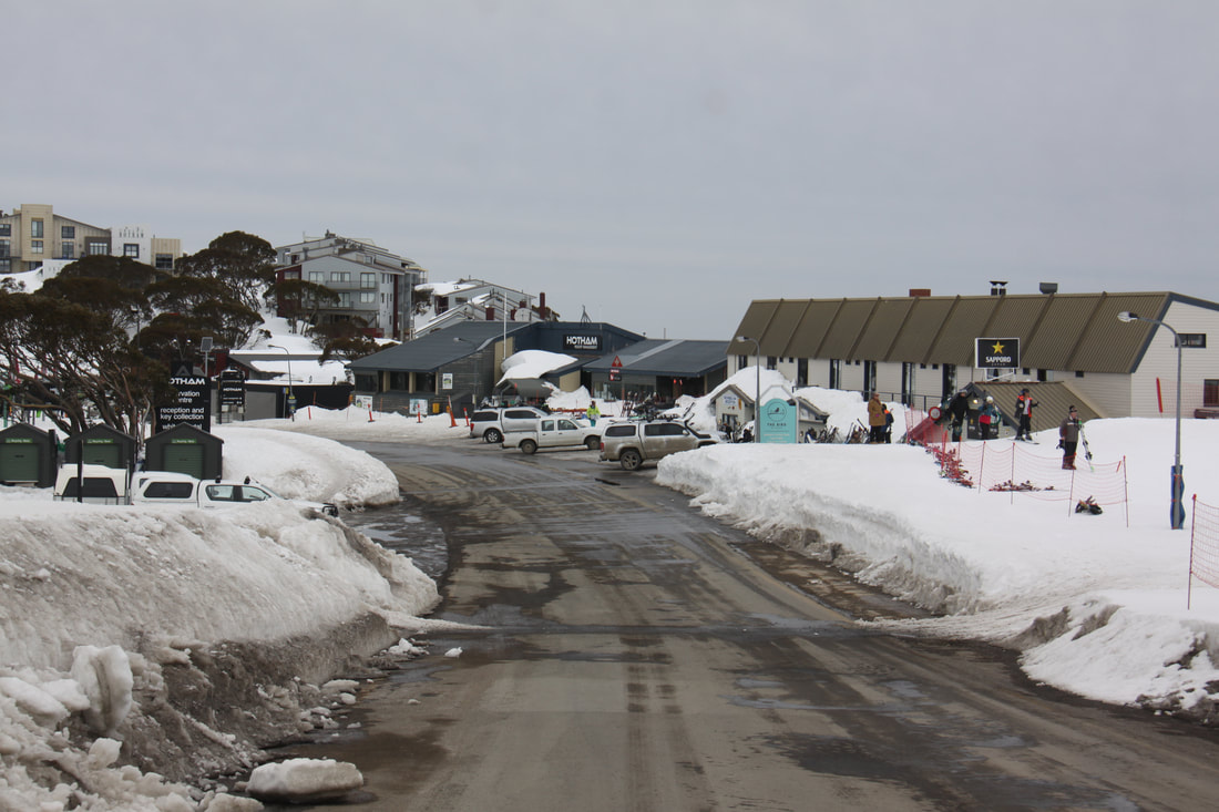
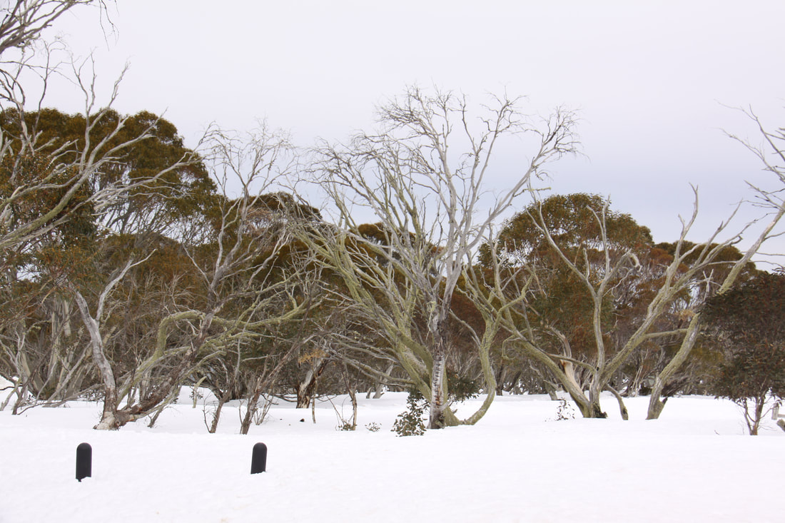
Mount Holtham is situated at over 1800metres so there was still plenty of snow and all the ski lifts were in operation. It is very much a purpose built resort. We much preferred the nearby resort of Dinner Plain which seemed more family orientated. We stopped near there for lunch surrounded by snow gum woodland.
The descent down was much easier - a few hairpin bends and only gentle gradients so we quickly reached our overnight destination, Omeo. Just outside the town is a lookout point from where Mount Kosciuszko, Australia's highest mountain, can be seen. In gold rush days, Omeo had the reputation of being the most lawless town in Australia, now it is an RV friendly town with a 24 hour rest area right beside the river where the alluvial gold was panned. Now the only disturbances in the water are caused by platypus.
Friday 31st August
It was drizzling when we woke and as the day progressed it turned into a thoroughly wet afternoon.
The drive south this morning was through beautiful pasture and woodland following the course of the River Tambo for much of the way. Along one gorge section wattles were just beginning to flower, the harbinger of Spring which officially starts tomorrow.
We stopped in the town of Bairnsdale to access wifi as we wanted to book our tickets over to Tasmania. We ended up going to a local travel agency and letting them make the booking for us. The ferry was fully booked for the next two weeks so we are going to explore more of the state of Victoria before we cross the Bass Strait. Hopefully it will be a little warmer by then.
Tonight was spent at Providence Ponds rest area near Bairnsdale.
Saturday 1st September
Despite being in a rest area beside the busy A1 road direct to Melbourne, we had a quiet night. We woke to a blustery wind but the forecasted rain held off until late morning.
Our destination Walhalla was on the foothills of the Gippsland Mountains. It was a beautiful drive through temperate rain forest. By now it was raining steadily so we decided to stop early and hope that by tomorrow the weather would have improved so that we can explore the village in better conditions.
Sunday 2nd September
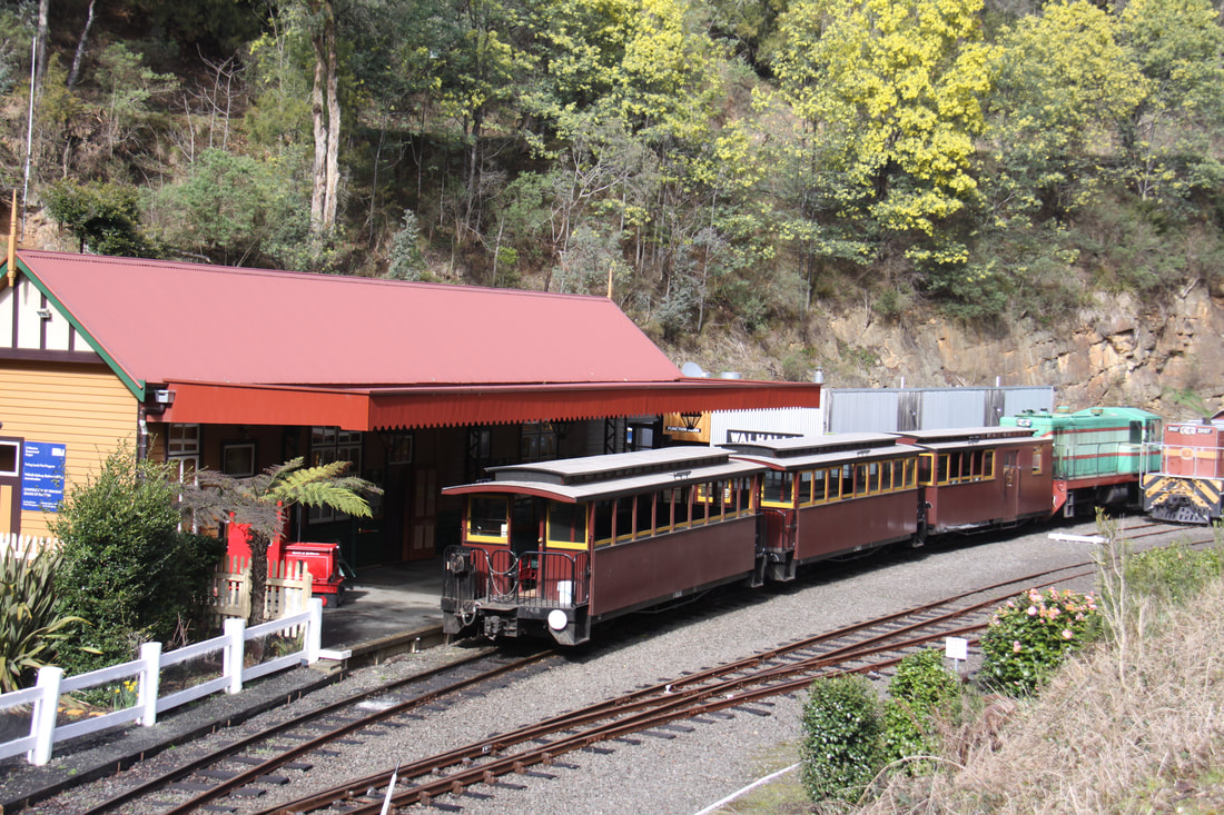
It's Father's Day here in Australia so what better way to celebrate than a trip on a heritage railway, the Walhalle Goldfields Railway. The track of the original railway was completed in 1810, but when the main goldfield mines in Walhalla were closed in 1914 the line was little used, although it didn't finally close until after World War Two. Some fifty years later the track was re-built and a short section was re-opened to the public in 2002.
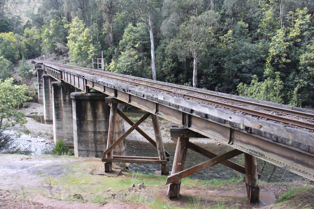
Today a one hour return trip on the restored line takes you through the bush along beautiful Stringers Creek. The line crosses eight trestle bridges on its 4km journey to Thomson Station. Here the engine is turned round ready for the return journey. The track is laid along a narrow ledge above the creek and in places narrow cuttings had to be carved out of the vertical cliff faces.
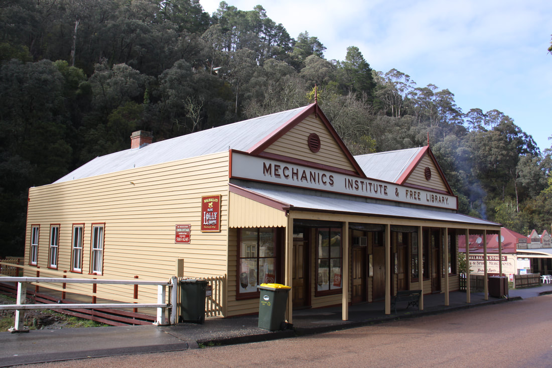
The historic former gold mining town of Walhalla was a boom town of the 1880s after a rich seam of gold, one of the richest in Australia, was discovered in 1865. However, by the early 1900s the mine went bust and the town was all but deserted. Today it has been restored with many of the homes and shops that had not been destroyed, serving as a living reminder of life a century or more ago.
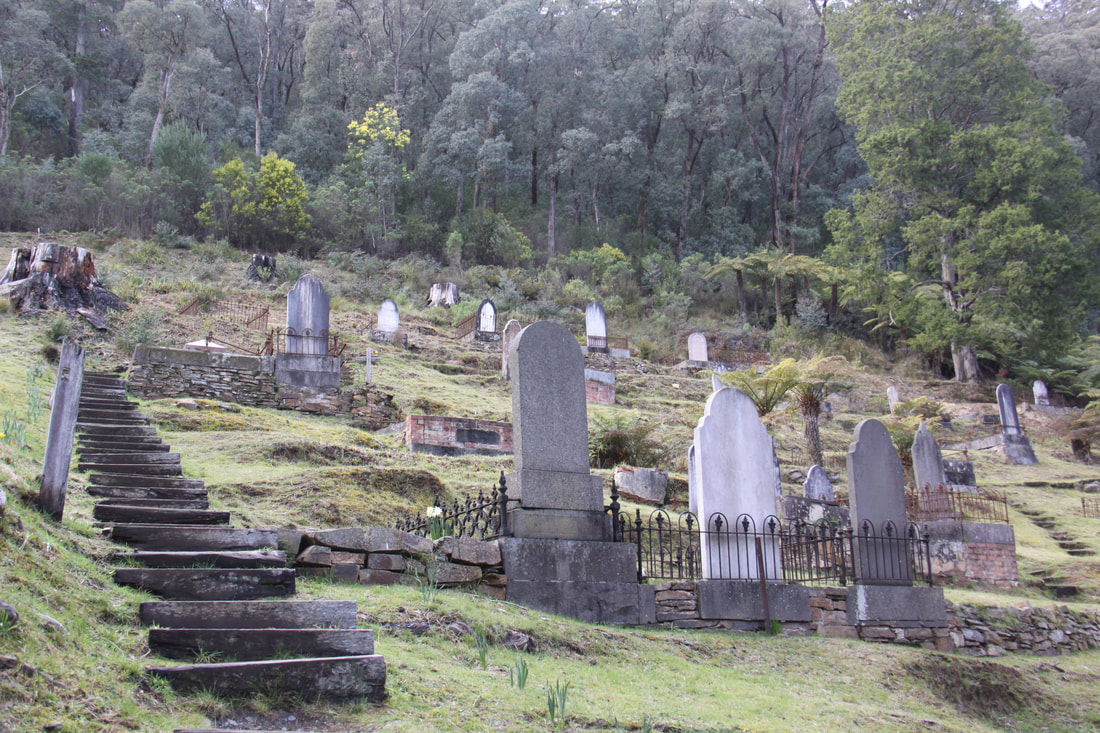
It was a joy to wander the main single street hemmed in by the creek and the steep hillside and explore the museum, old post office and telegraph station and the old fire station. A real bonus was that, despite rain being forecast, it stayed dry with some sunshine at times, even though the rough track up to the cemetery, clinging at a forty five degree angle, was still very muddy.
Monday 3rd September
Another very cold night with temperature hovering on freezing (the inside of the windscreen was frozen!). Walhalla was deserted this morning with nothing open so it was as well that we had done all our exploring yesterday.
We drove out of the hills to Moe where we shopped before going to the library for wifi. We now have booked a campsite pitch in Melbourne for the night before our ferry crossing to Tasmania and a pitch in Devonport for when we arrive there. We also booked a campsite in Fremantle for the last three nights of our Australian trip. So all sorted.
Tonight we are staying at a rest area by a lookout point at Neerim. The views towards the hills were lovely and the sunset magnificent.
Tuesday 4th September
Our gas cylinder ran out this morning but luckily the water was almost at boiling point so we still had coffee in bed! Our first task was to find a garage in order to purchase a replacement cylinder.
The route north towards the Murray River took us through some beautiful scenery - the majestic forests and sweeping valleys of the foothills of the Great Dividing Range. North of Yarra Junction we passed through the lush Yarra Valley where vines are the main crop and small wineries abound.
The further north we drove, the forests thinned and rich pastoral land became prevalent. We are now beginning to see the first signs of the start of the outback.
Our overnight halt was at Runnymede Highway Park, a large parking area just off the road.
Wednesday 5th September
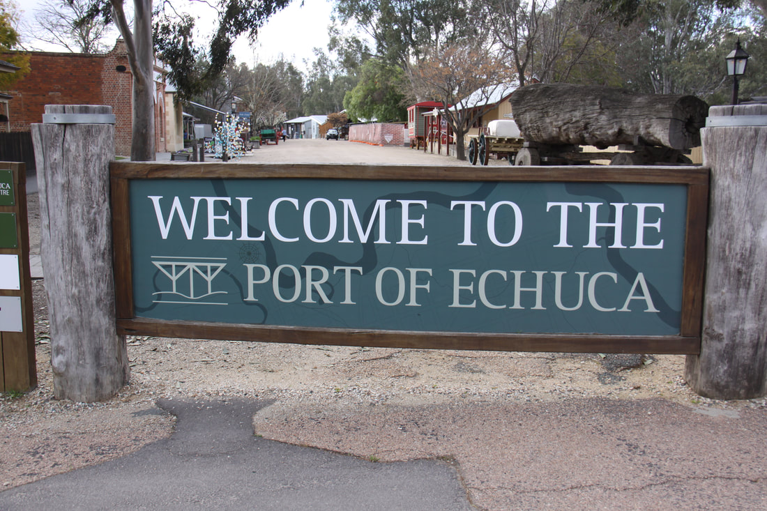
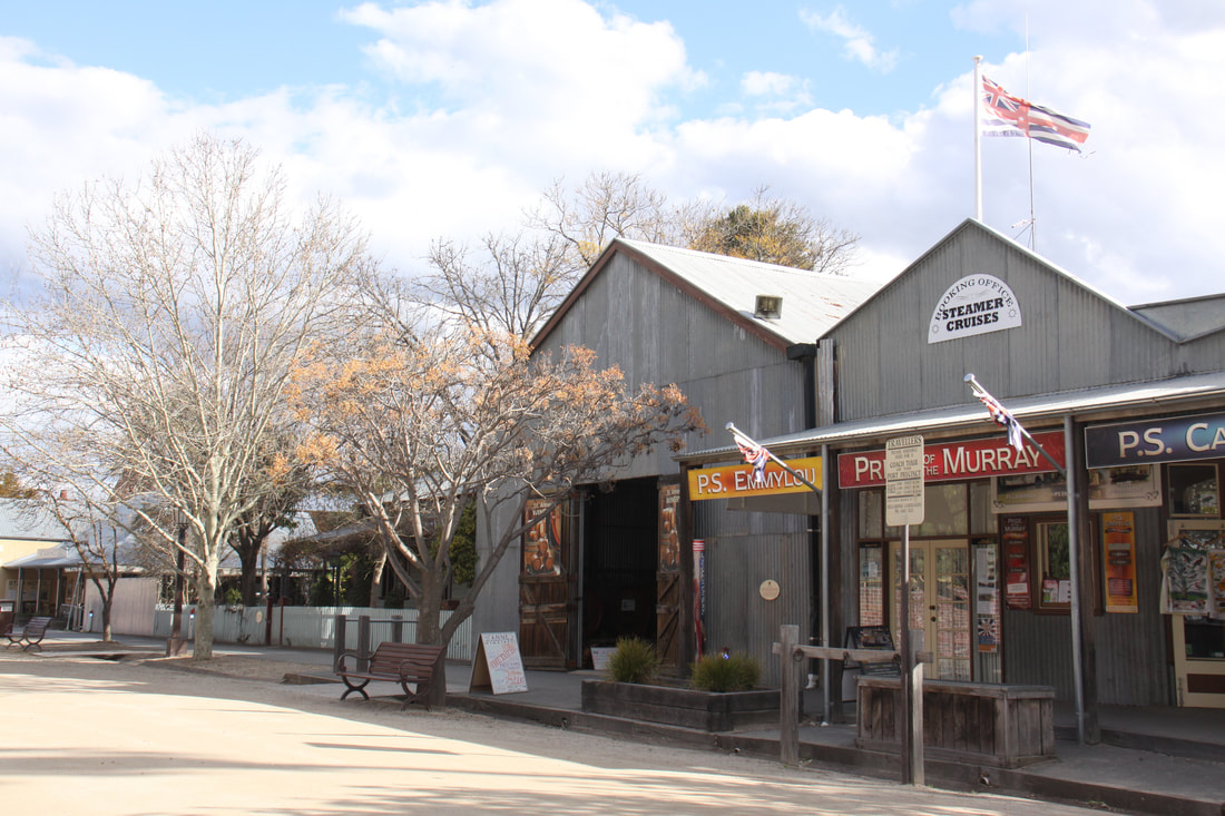
Today we had a short drive to Echuca, a well preserved town set on the banks of the Murray River. In 1864 the town became the largest inland port in Australia. Now the port area has been preserved. Its wharves and old buildings plus a number of old paddle steamers just cry out to be explored.
We booked onto a campsite only 5 minutes walk from the old port area. Before lunch we did a couple of loads of washing before walking along the river levee to where the paddle steamers dock. A trip on one is scheduled for tomorrow morning. As we wandered along the preserved wharves and jetties, you could imagine the hustle and bustle that a hundred years previously would have been the norm.
Thursday 6th September
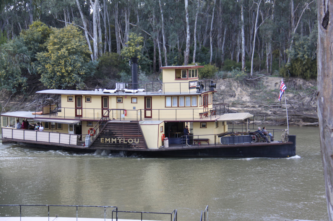
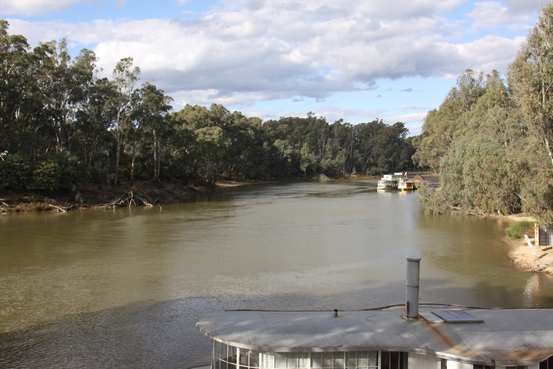
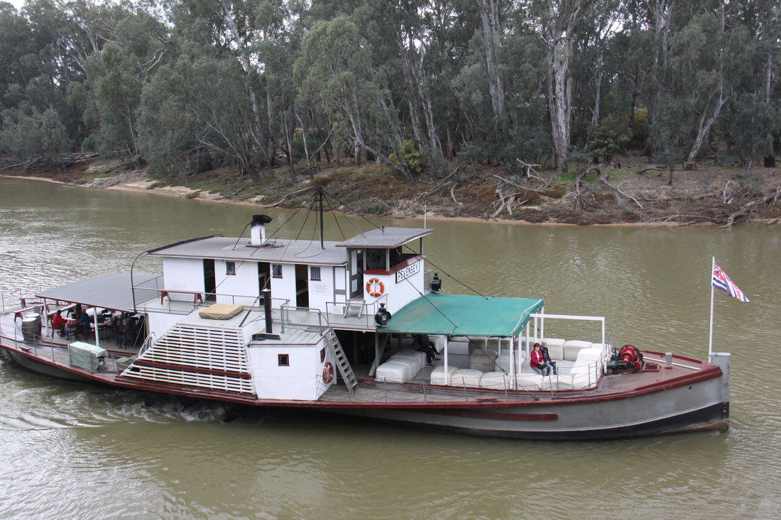
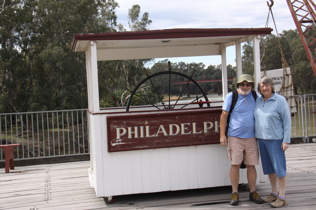
This morning we were booked on the 10.15am sailing of the paddlesteamer Pevensey, built in 1911. She carried bales of wool from sheep stations and brought them to the wharf in the port of Echuca from where the wool was loaded on to trains to Melbourne for shipment overseas. Today the Pevensey is the oldest paddlesteamer operating out of Echuca. On board you could watch the engineer operate the boiler and engine, see the paddle wheels turn and witness a journey along the muddy Murray.
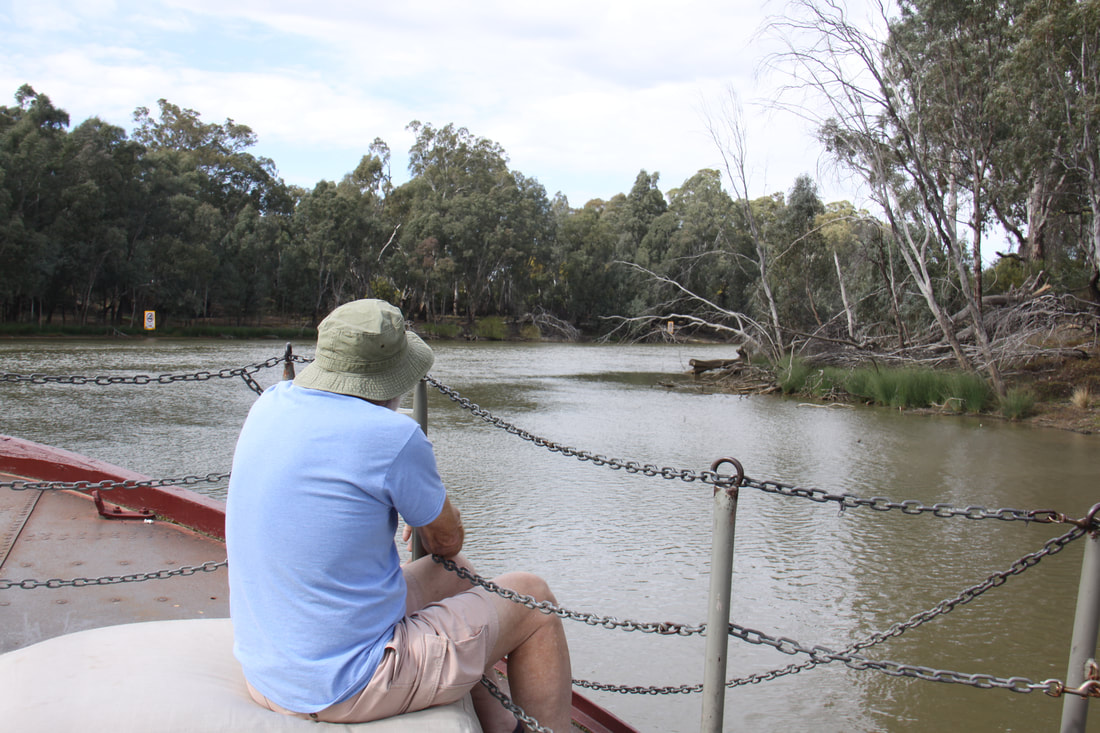
The leisurely trip along the deeply incised river banks covered mainly with red gum trees, was a wonderful experience.
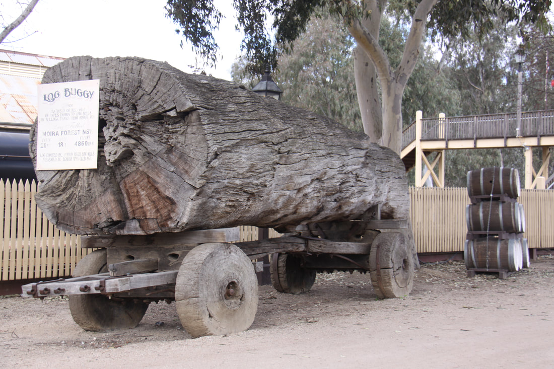
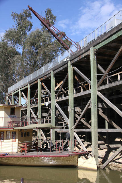
After our "cruise" on the river we explored the restored three tier wharf. This construction meant that in times of flood, the paddlesteamers and the barges that they often towed, could be unloaded at a higher level. Levees protected the town from rising waters. Along the wharf a number of other old paddlesteamers were moored including the Adelaide which was built in 1866 and is the oldest wooden-hulled paddlesteamer operating anywhere in the world.
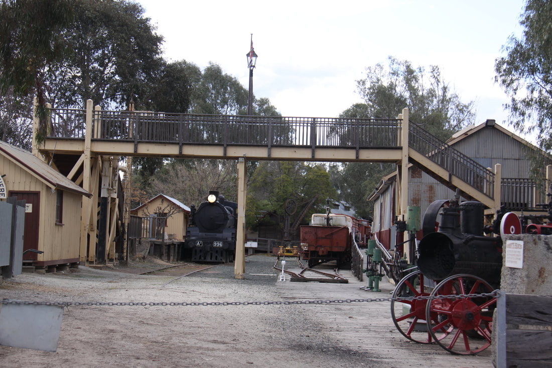
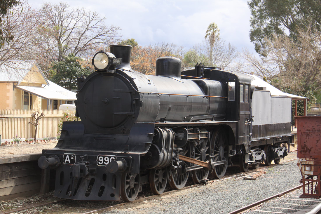
The Cargo Shed Museum situated on the highest level of the wharf gave a further insight into the port as well as a wonderful view across the river. It also incorporated the old railway where the wool was transferred from river to rail. The Cargo Shed was referred to as "the meeting of the whistles". At present, the only whistles are from the paddlesteamers, but there is an old steam train in the station awaiting restoration.
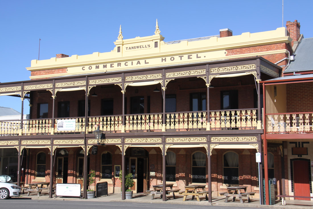
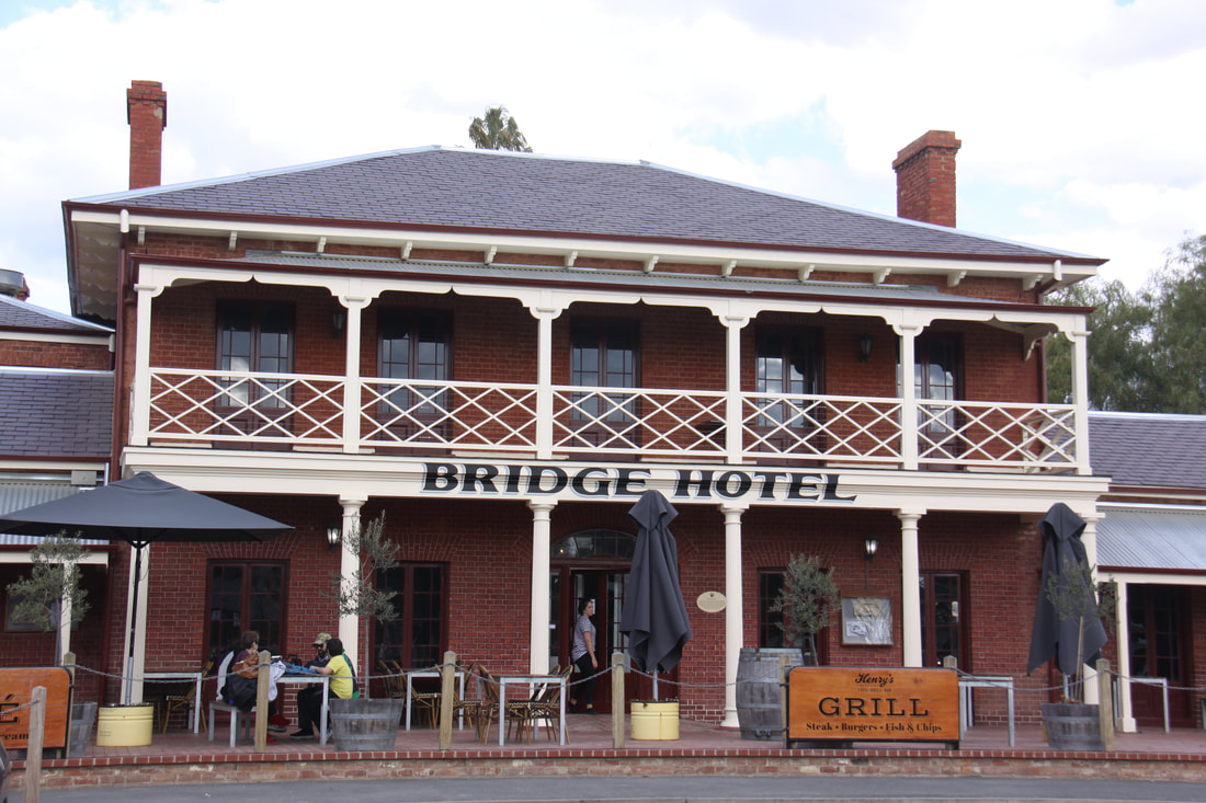
The area of town behind the wharves as also been restored and preserved as a historical precinct. A number of hotels still stand proudly alongside a former bond store, a salt works, custom house and two banks. The current Hare Street developed as the commercial centre with many fine buildings still in evidence. Tucked down a small side street, almost as though it was hiding from view, a brothel still stands (although no longer in business!).
After lunch we headed north to visit Barmah National Park, situated on the floodplain of the Murray River. Here is the largest remaining area of red gum forest in Australia. Normally the area is a swampy wetland submerging the lower trunks of the trees, but with the ongoing drought the only water was the Murray River. We spent the night at the National Park camp ground.
Friday 7th September
After a lovely peaceful night parked in a clearing amongst the red gum trees, we headed back to Echuca to pick up the Murray River Route. Unfortunately the road is set well back from the river so is in reality a road through fertile farmland. Irrigation channels became a regular feature of the landscape.
On the approach to the town of Kerang there was a warning sign stating that we were about to enter a fruit fly quarantine area. Special bins were provided for the dumping of any fruit and vegetables that you had in your vehicle. There was a hefty fine if you were caught entering the area with forbidden items. As we had just stocked up with fresh produce in Echuca, this ban meant that we had to rethink our route.
As we had intended only going as far as Swan Hill some 50km further along the river, we decided to turn south rather than dump our entire morning's shop.
We overnighted in a lay-by beside the fast flowing Lodden River.
Saturday 8th September
A pretty drive south along the Lodden river valley took us to the town of Bendigo. For the last fifty years of the 19th century, Bendigo was the world's richest city thanks to the discovery of gold in the area. Today the fine stone buildings testify to the wealth and trade that the discovery of gold brought to the area.
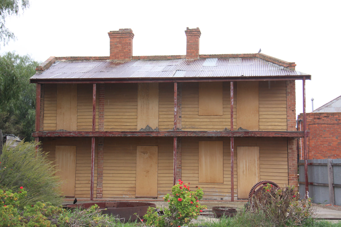
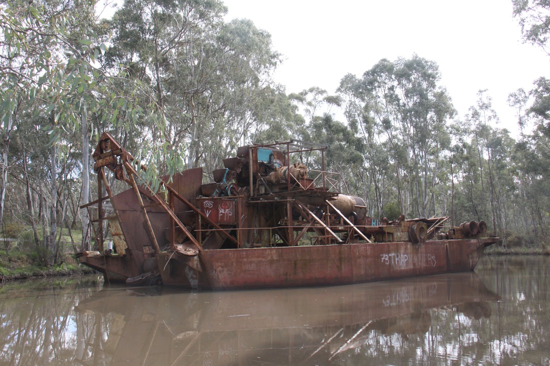
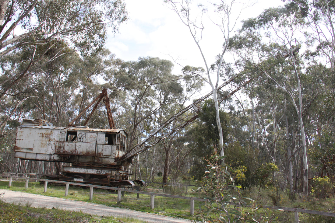
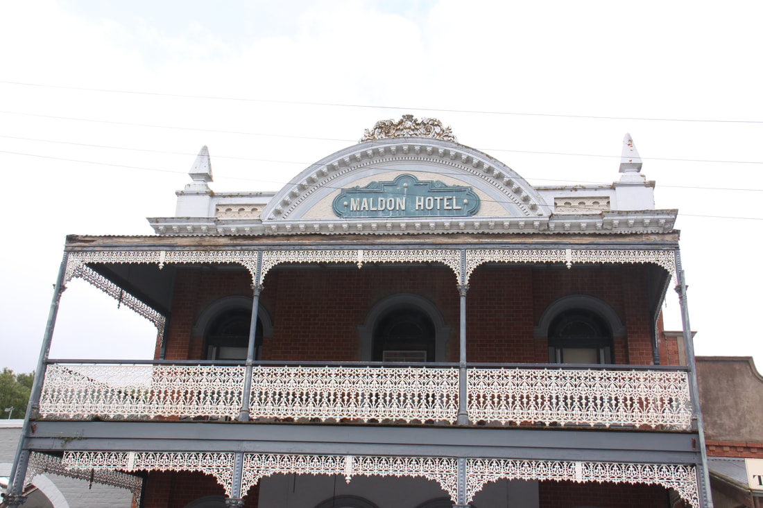
Some 30km south of Bendigo is the small town of Maldon. As we drove into town we passed relics of the gold mining era. The dredge and dragline were just rusting away in a shallow pond in the former mining site.
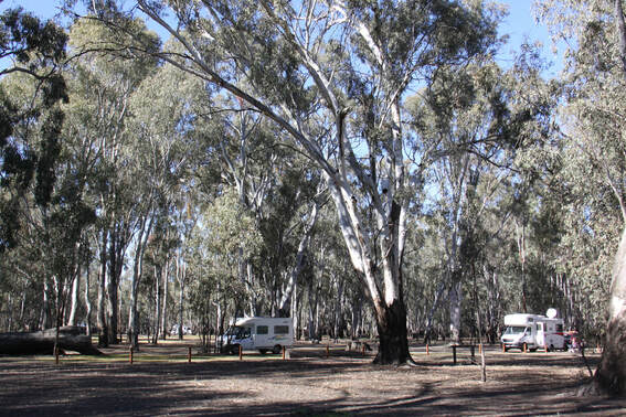
Tonight was spent on the outskirts of the town in the historic reserve, a dedicated 24hour halt.
Sunday 9th September
In tiny Maldon, the first Australian town to be classified by the National Trust, time seems to have stood still since the gold rush era of the 1850s. The local tourist office had some very useful leaflets which we made good use of as we explored this charming little place.
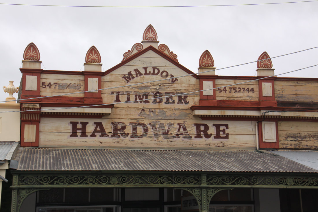
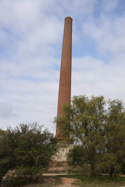
The Main Street is virtually the same as when it was first built. Single storey shops decorated with iron lattice work and shaded by awnings, dominate the attractive streetscape. Today there was a local craft and produce market that provided us with a tasty lunch. Just outside the town are the remains of the Beehive Mine. Numerous mounds and holes litter the ground. A 24 metre high chimney still stands sentinel over the puckered landscape.
A short drive from Maldon was the small town of Castlemaine, another settlement that was founded on the discovery of gold. Maldon, however, seemed much more authentic as it gave a better insight into what life was there was like during the gold rush, while in Casttlemaine the old shop facades had modern shop fronts.
Our overnight stop was a short distance on at Newstead Race Course.
Monday 10th September
This morning was spent in the second Maryborough of this trip, the first town of this name being in Queensland. Victoria's Maryborough developed in the 1850s when gold was discovered in the area. Today it is a quiet town with a plethora of stately buildings all constructed on the proceeds of gold.
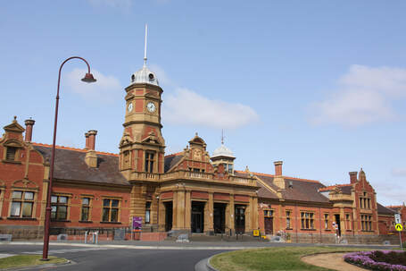
Maryborough's truly large and magnificent railway station, complete with clock tower, was built in 1892. Mark Twain described it as a "train station with a town attached". In fact, it has been suggested that the station was designed for Maryborough, Queensland but the architect built it in the wrong town!
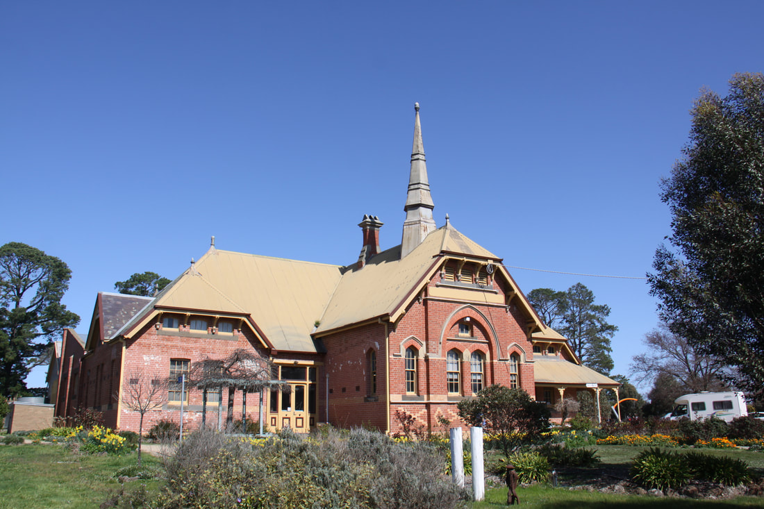
From Maryborough we had a short drive to our overnight stop at Bung Bong - a forest clearing by a historic church.
Tuesday 11th September
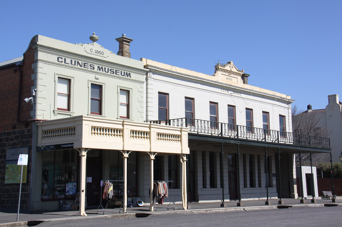
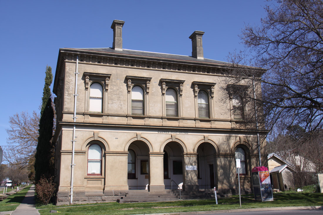
A short drive from yesterday's overnight stop was the totally unspoilt small town of Clunes. It was here, in 1851, that the discovery of gold started Victoria's gold rush. Today the quaint little town has hardly changed and the wide Main Street with its row of porticoed buildings takes you straight back to those early gold rush days. Nowadays the town is also famed for its second hand book shops.
As we wandered along the town's Main Street we stumbled across a large film crew at work using the impressive streetscape as a backdrop. Clunes is definitely the sort of town that is worthy of being used as the setting for a movie.
We spent tonight south of Ballarat in Haddon Woody Lions Park.
Wednesday 12th September
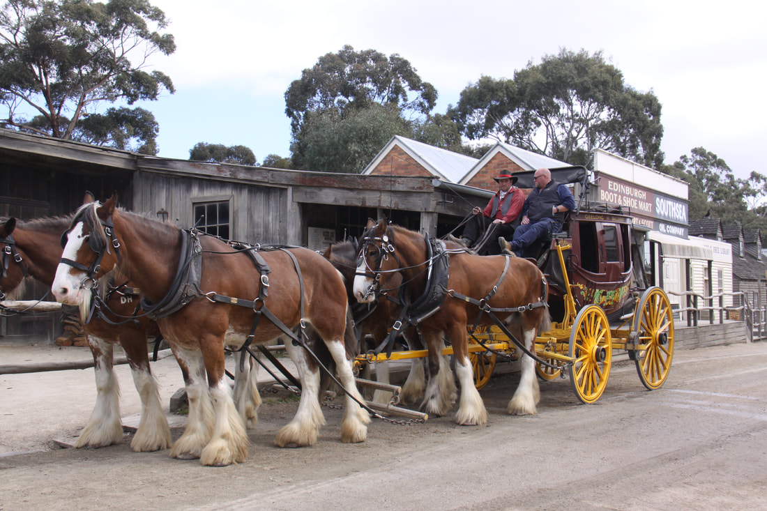
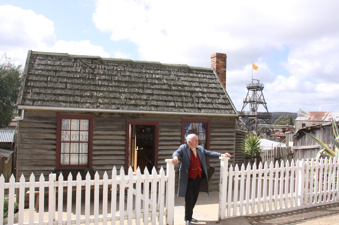
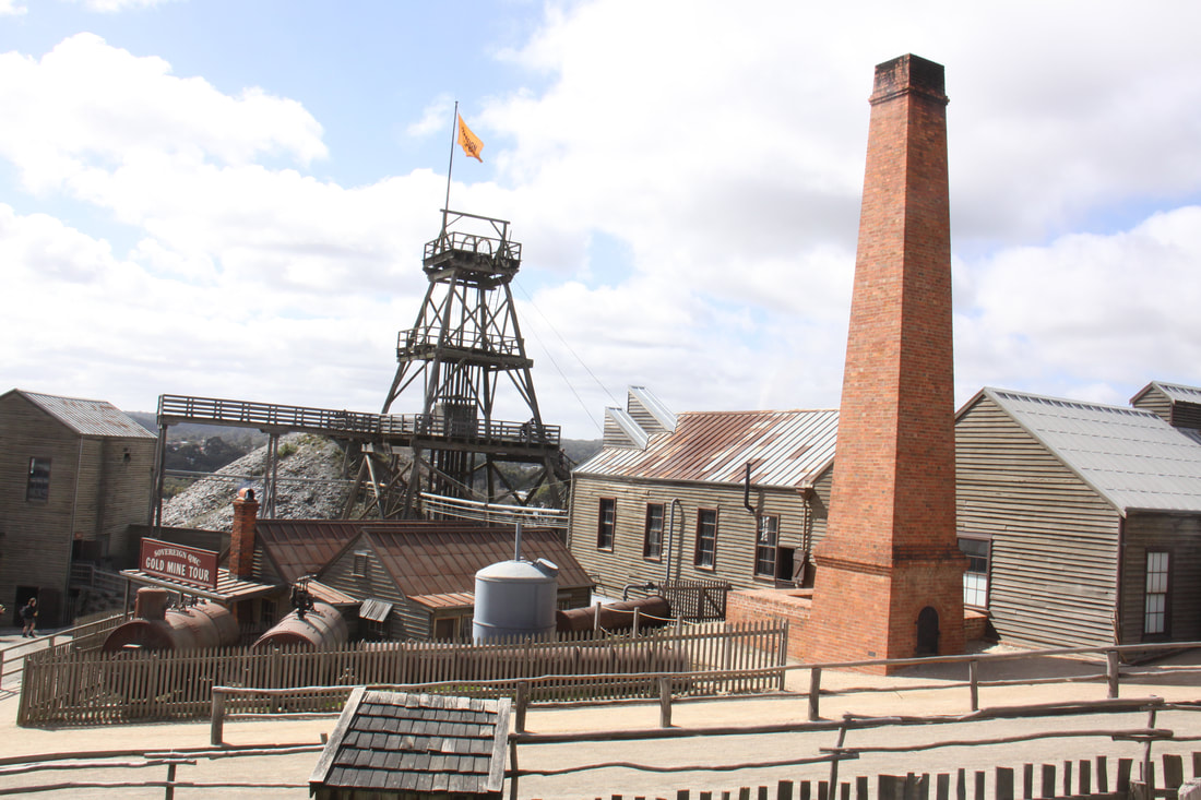
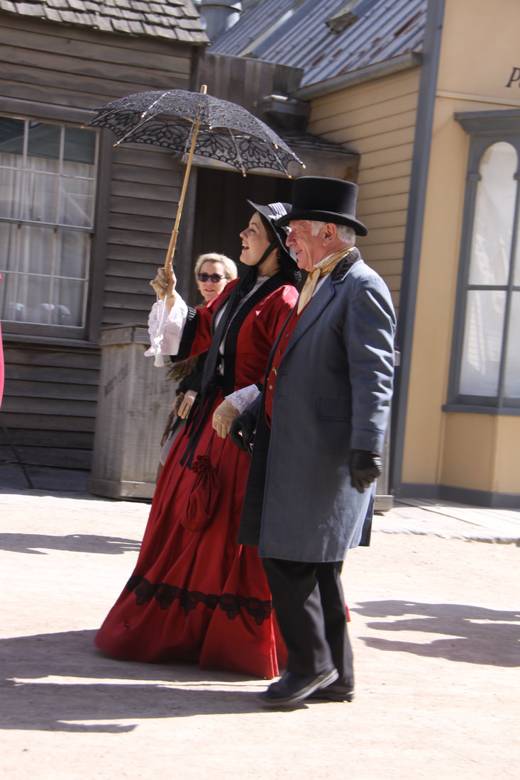
Today we drove into Ballarat, yet another town founded on the discovery of gold in the early 1850s. However, we were not there to walk the streets or see the fine buildings built on the proceeds of the rich reef gold mines. We were there to visit the award winning Sovereign Hill outdoor museum that re-creates the early days of gold mining, our tour starting with a horse and carriage ride round the town.
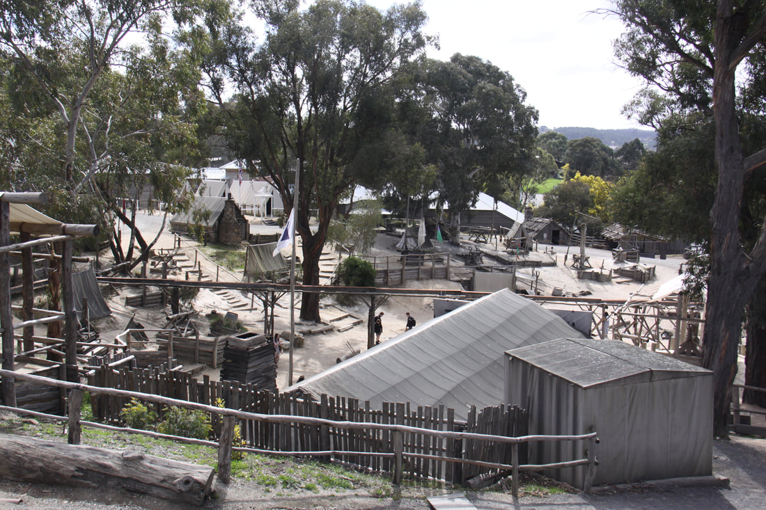
On entry there is a tented camp showing how the very earliest prospectors lived. Here you can pan for gold yourself, watched over by the militia and the inspector of mines. The next stage in the settlement's development had an authentic Chinese camp, miner's shacks and a goldfields store where the miners could buy mining equipment as well as provisions.
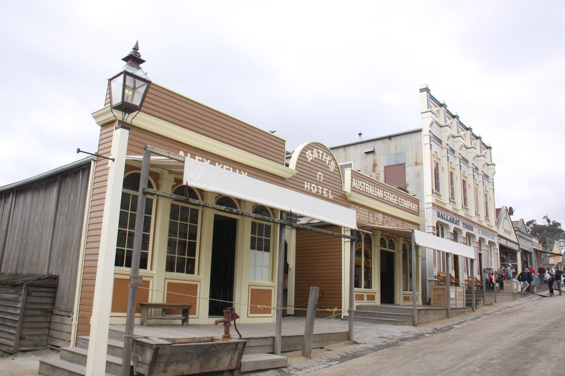
Main Street depicts the town of Ballarat in the 1860s, the streetscape being modelled on the actual town as it was then. By now, some very fine buildings had been erected including grocery stores, hotels, a draper's store, theatre, apothecary, saloons and a church. Wooden side walks and verandas enabled the genteel folk to walk the streets without getting their clothes and shoes too muddy!
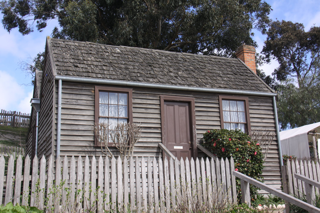
A residential street behind Main Street had re-constructed homes, a humble miner's two roomed cottage, a much more substantial residence with separate kitchen, dining room, lounge and two bedrooms owned by a mining engineer, the brick built doctor's house, a school and the church.
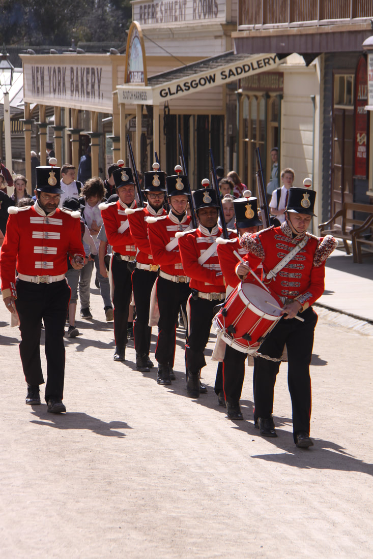
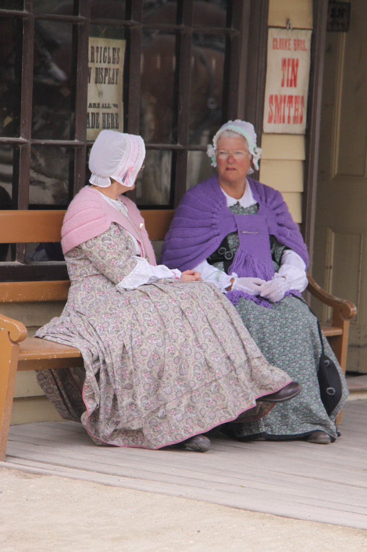
Costumed guides explained how the families would have lived and worked. Street actors staged various situations throughout the day and Redcoat soldiers marched through the streets.
At the top of the hill, a former goldmine shaft could be visited while, if you were lucky, you might have heard a thud and feel the earth shake as the whole Sovereign Hill complex is built over the site of a goldmine still in operation.
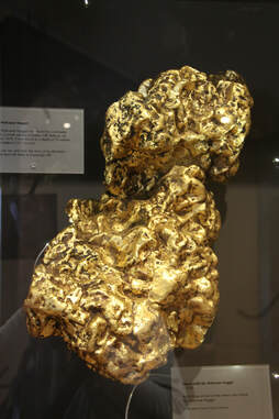
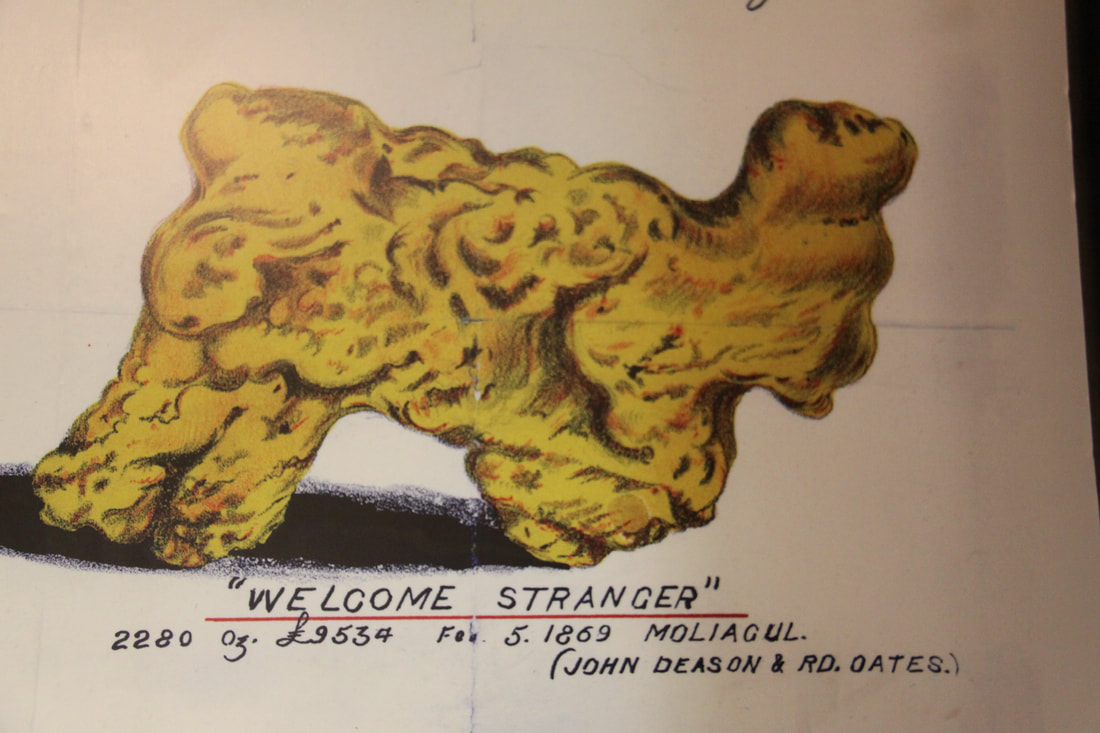
The day ended with a visit to the adjacent Gold Museum where the story of gold mining in Victoria was explained in greater depth. Replicas of some of the large nuggets discovered were on display along with samples of gold found in various creeks around Ballarat and a half scale model of the "Pyramid of Gold", built for the World Fair, showing how much gold had been mined in Victoria.
All in all a wonderful day out.
Thursday 13th September
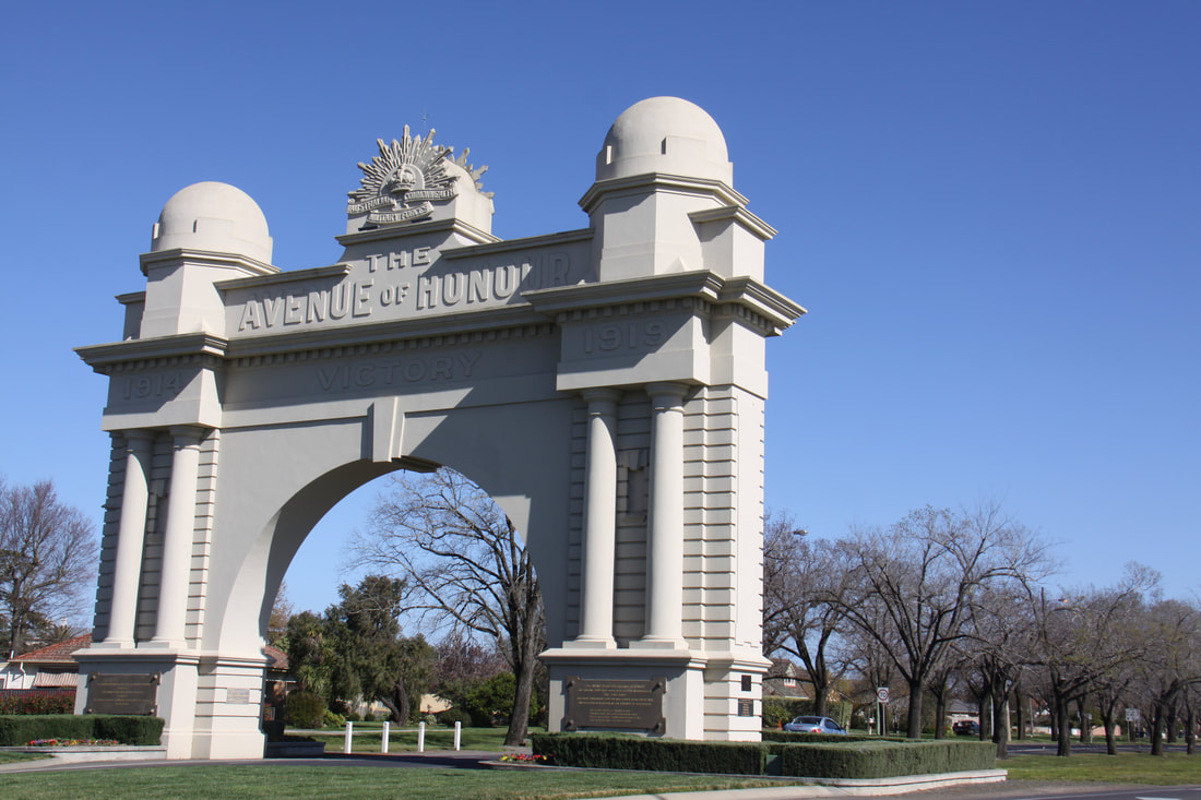
Before leaving Ballarat we drove part way along the Avenue of Honour. Over twenty kilometres of trees have been planted on both sides of the road and each tree has a dedication to a soldier from Ballarat who enlisted in World War One. The avenue ends at the imposing Arch of Victory.
From Ballarat we took a very scenic route eastwards, through farmland which in many places was dotted with slag heaps from long abandoned gold workings.
Our overnight halt was at South Kyneton Mineral Springs. It was a lovely spot set between a small river and mature trees which looked very much like baobabs.
