Return to Nova Scotia
Friday 15th July
A few drops of rain to start the day, in fact some quite heavy showers but they only lasted a couple of minutes. It was quite humid and steamy. Then the sun came out and it went up to 30 deg C.
After stocking up with provisions we left Sydney and headed inland to the Bras d'Or Lake which makes up the heart of Cape Breton Island. This huge inland sea is a UNESCO Biosphere Reserve. It is an extremely pretty area and is very proud of its Scottish settlement root to the point that signs are written in Gaelic as well as English. When we were in this same area four years ago we visited various heritage sites connected with these European settlers.
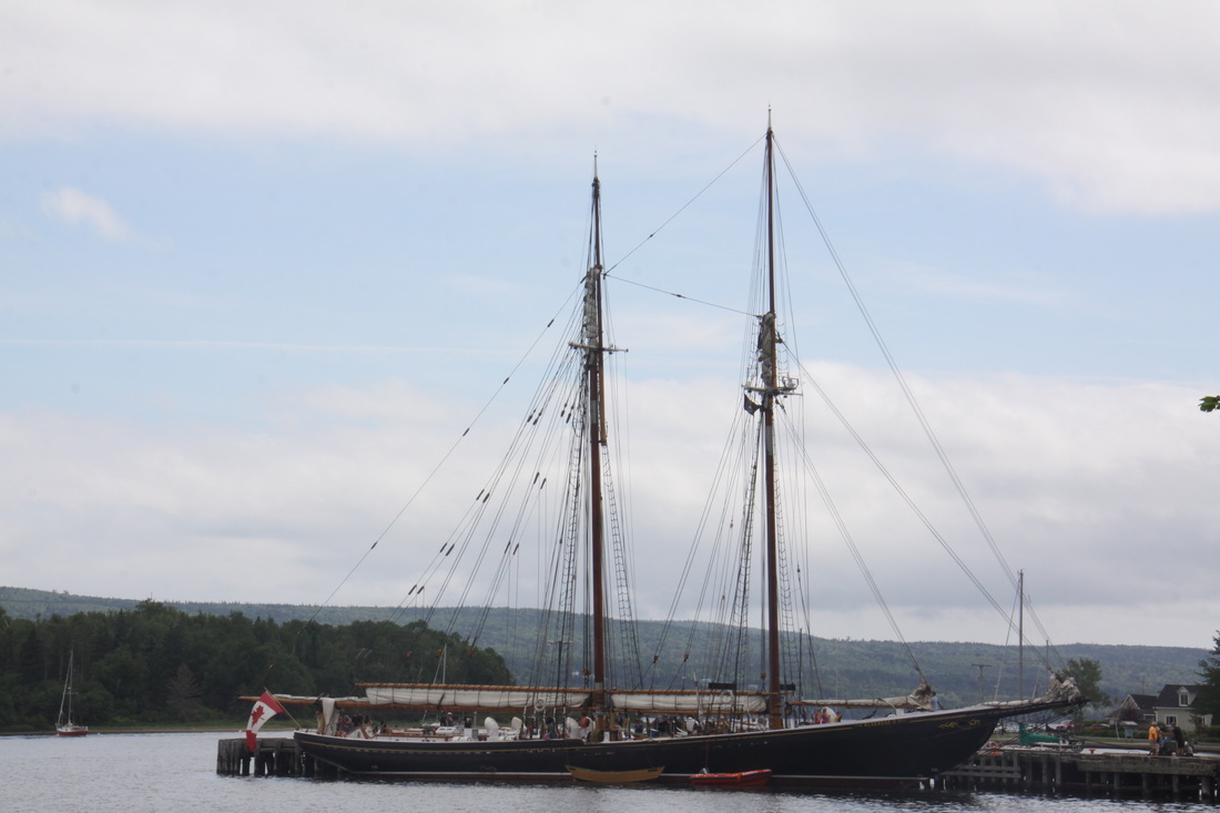
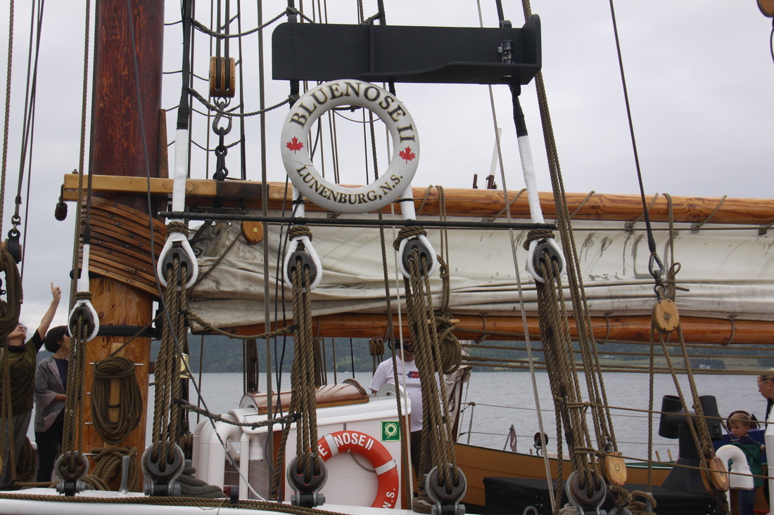
Today we headed straight to Baddeck, a quaint settlement famed for the excellent Alexander Graham Bell Museum. We visited this four years ago. The purpose of our visit this time was to see the "Blue Nose 2", a restored 1920's racing schooner. Four years ago she was in dry dock in Lunenburg when we visited her. Now she is fully restored and is sailing around various ports in Nova Scotia. It was wonderful to see her back in the water. Today was an "Open Deck Day" so we enjoyed looking around this elegant vessel. We are hoping to see her under sail and even getting the chance for a trip to sea in her before we head back home.
Saturday 16th July
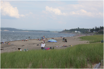
This morning we left Cape Breton crossing over into mainland Nova Scotia by means of the Canso Causeway. From there we drove to New Glasgow and then on towards Melmerby Beach, a 2km tract of sandy beach backed by sand dunes. Although it had been a warm day we were not enticed into having a swim in the chilly waters.
Overnight at Walmart, New Glasgow.
Sunday 17th July
A morning drive brought us to Truro from where we started our exploration of the Nova Scotia shore along the Bay of Fundy. This bay, with its two "arms", is world renowned for its high tides often with a range of 16.5 metres between high and low water.
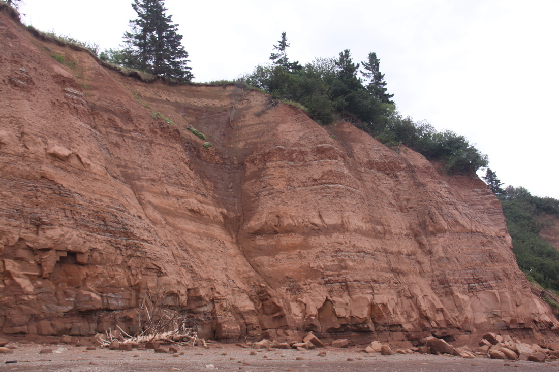
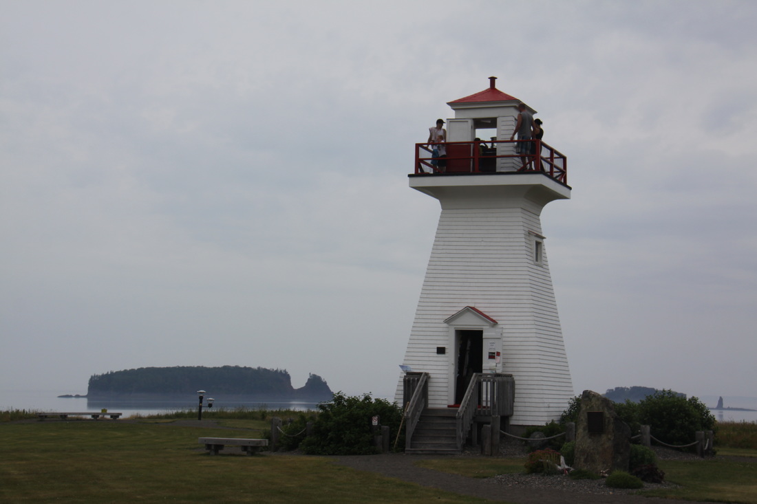
We stopped at Five Islands Provincial Park for lunch and walked a short way along the beach to view the crumbling sandstone cliffs. The tide was too high to walk too far. We also made a short stop at Five Islands "pepper pot" wooden lighthouse. Built in 1913, this lighthouse has had to be moved four times due to erosion of the Jurassic era cliffs.
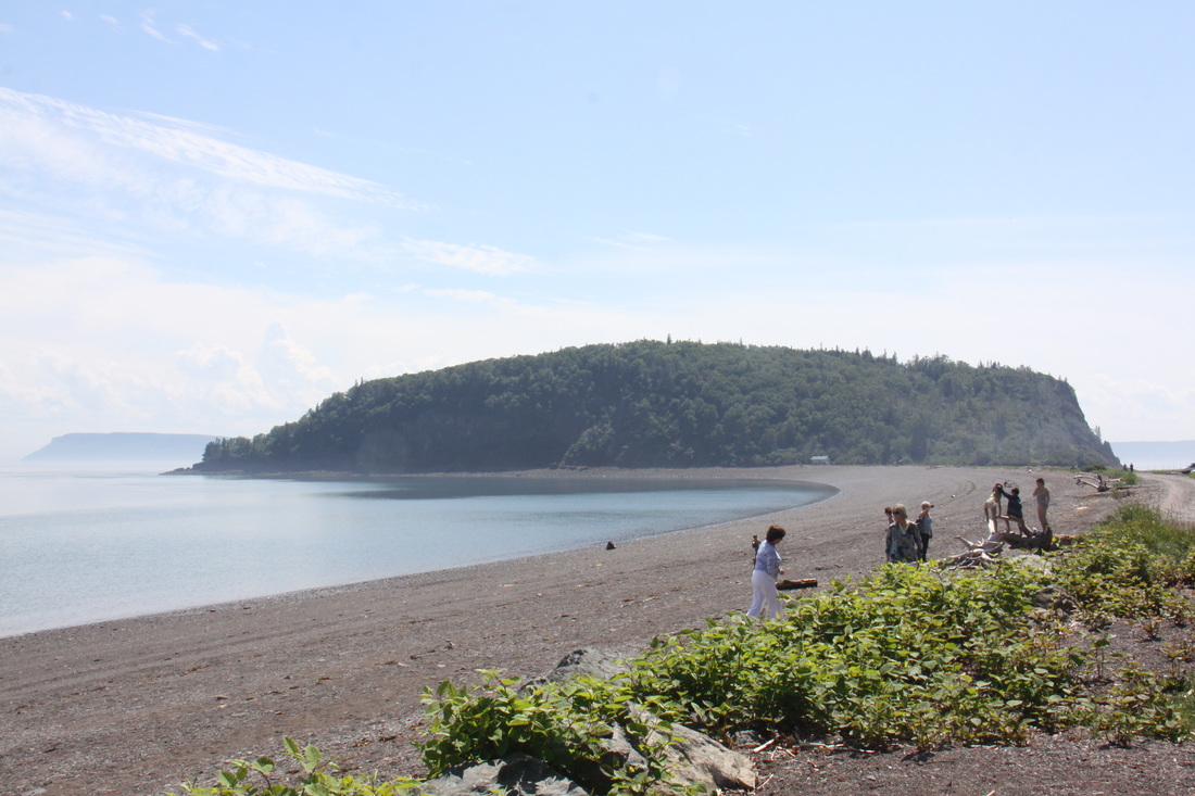
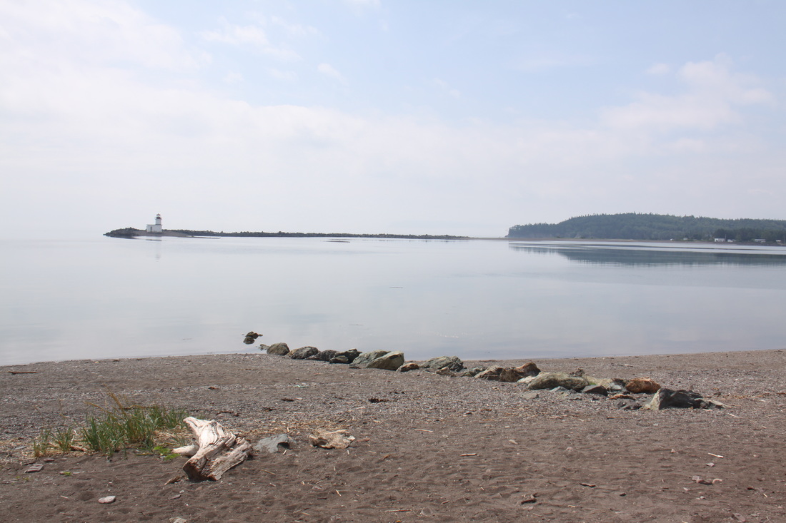
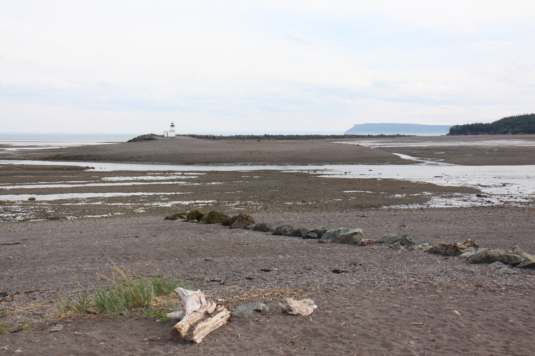
Our overnight "sea-view" halt was on the small isthmus which links Partridge Island to the mainland. The beaches of the island are well known for fossils and agates.
Monday 18th July
We awoke to a very foggy scene. The fog was so thick that we couldn't see the beach which was only about 20 feet away. As the morning progressed the fog thinned and the sun started to break through. We headed back to the visitors centre to catch up on emails and bought maple sugar and maple cookies from the shop there.
We arrived by the beach and harbour at Parrsboro in time to view the high tide at noon. As there was a full moon last night the tidal range today will be one of the highest. Whilst there we got chatting to a former local councillor of the town who told us much of the history of the area. We treated ourselves to a fish and chip lunch at the harbour view restaurant before returning to photo the mid tide scene.
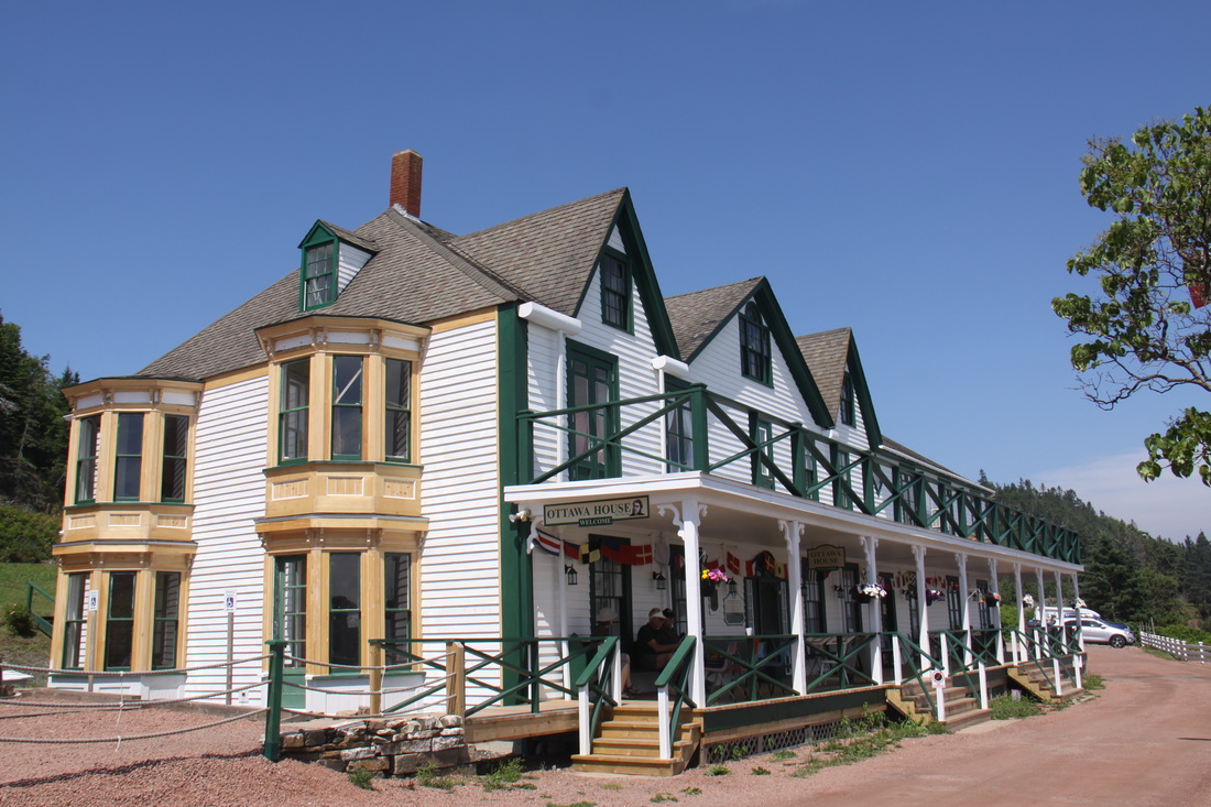
In the afternoon we visited the local museum at Ottawa House. The house was originally built around 1765 and later expanded when a local store was moved a short distance and attached to it. At one point in its long history it was the focal point for world-renowned ship building and international trade. Later it became the summer residence of Sir Charles Tupper, the sixth Prime Minister of Canada. It is now a very full and well documented local history museum set in a magical situation overlooking the scenic Parrsboro shore.
Before leaving to take a photo of the beach and harbour at low tide, we sat on the veranda of Ottowa House eating a Caramel Cowmotion icecream - delicious vanilla and caramel with caramel chocolate pieces. Canadian icecreams have interesting names and are absolutely delicious.
We returned to the Partridge Island causeway for the evening.
Tuesday 19th July
Once again the early morning fog blotted out the island but as soon as we left the causeway there was brilliant sunshine. We spent some of the morning in Parrsboro shopping, then giving Nicolle a much needed wash.
We then drove a short way to visit a small museum called the "Age of Sail" Heritage Centre. It charted the history of the timber trade and shipbuilding in the area.
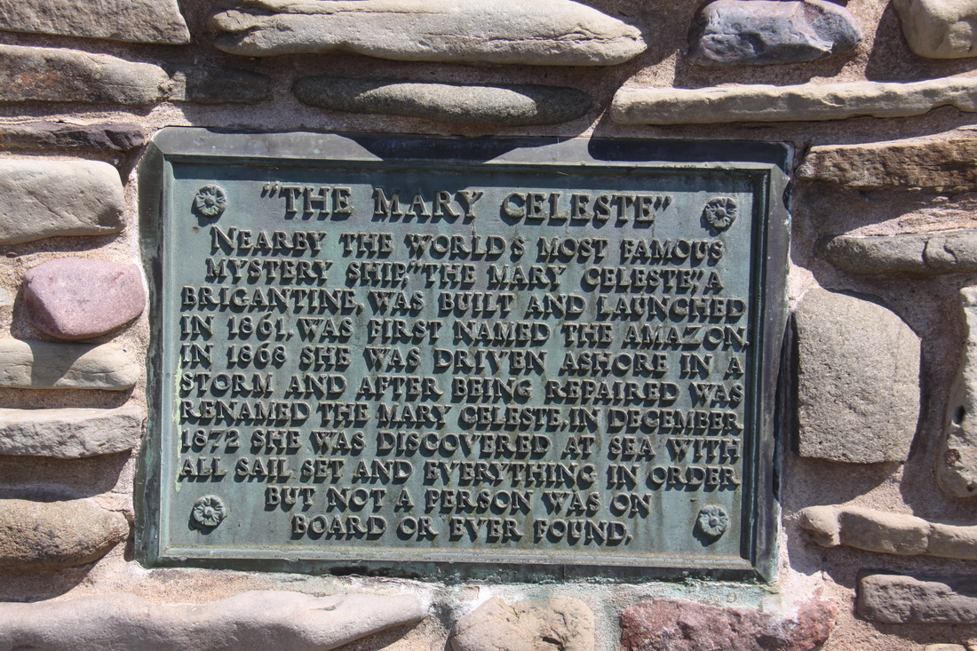
The sailing ship "Mary Celeste" was built in a village close by and a cairn tells the story of how this ship was found in the Azores with no one on board.
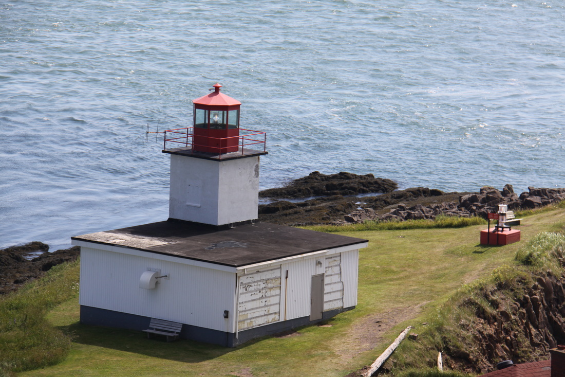
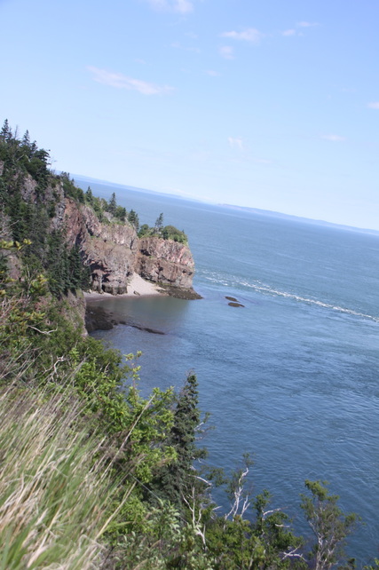
We rounded off the day with a visit to Cape d'Or lighthouse. The lighthouse sits atop of high cliffs and at the end of a promontory that juts out into the Bay of Fundy. The views were staggering.
The waves in the sea below were flowing in all directions, thrashing and crashing and tumbling all over each other. The tide was rising and as it approached Cape d'Or, a side current was flowing into Advocate Bay. The bay was full and the water was flowing back into the main stream along the front of the Cape. Meanwhile, the main stream was being forced upwards over an underwater basalt reef producing near vertical waves. A third side current was flooding into Greville Bay, then forming a back eddy. These three streams were combining to create the fierce turbulence we could see. This phenomenon is known as the Dory Rip.
We parked overnight on the car park above the lighthouse.
Wednesday 20th July
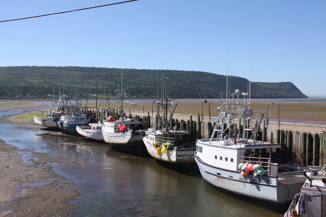
Our first stop this morning was at picturesque Advocate Harbour. The tide was out so the fishing boats that were moored to the jetty were sat on the harbour bottom, a typical scene at any fishing harbour in the Bay of Fundy.
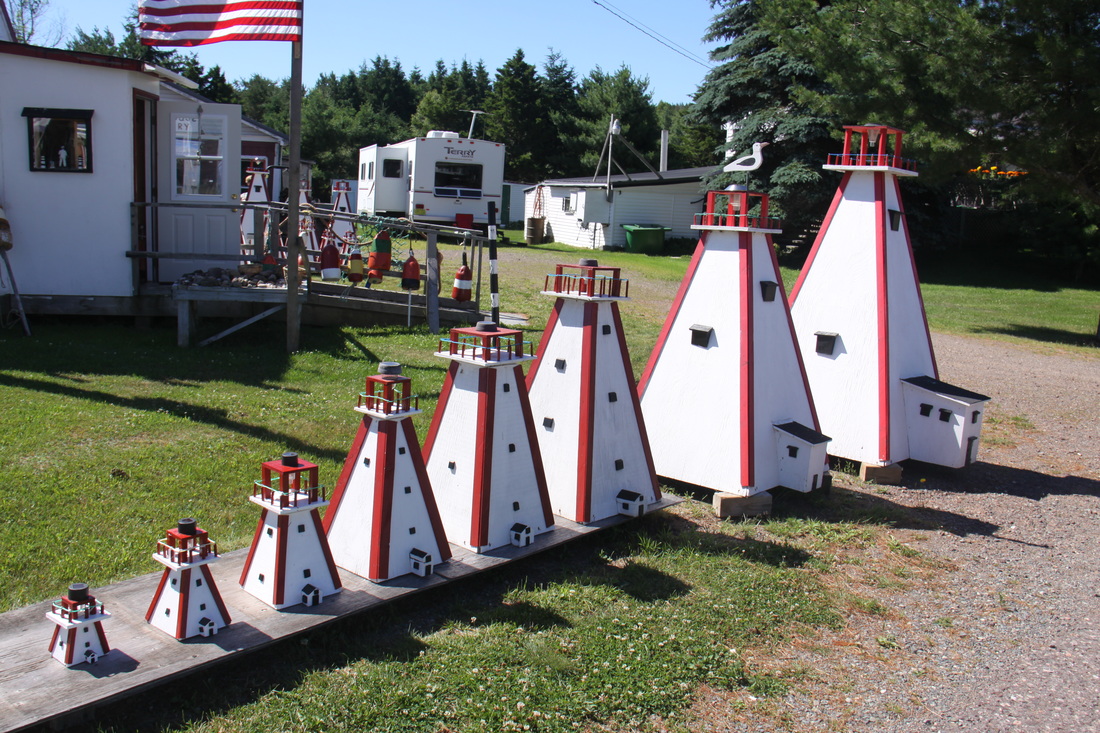
We came across yet another craft shop and Sue insisted we stop. We got chatting with the proprietor, Cynthia. She and her husband were originally from Kent. It turned out that Cynthia attended the school where Sue worked in her first teaching job -a small world. We chatted for a long while and it was almost lunchtime by the time we left!
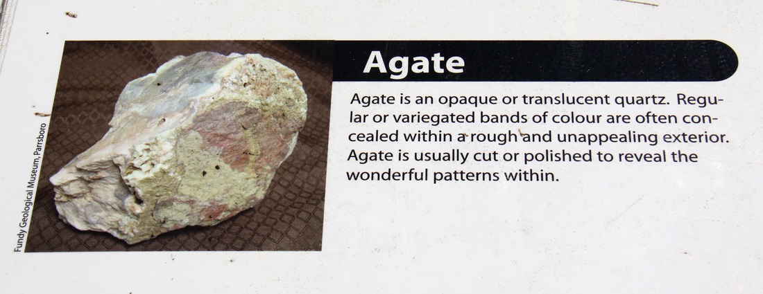
We arrived at Joggins Fossil Cliffs, a UNESCO World Heritage Site, just as the tide was starting to go out. The cliffs consist of exposed rock layers and reveal the world's most complete fossil record of life in the Carboniferous Age. Twice a day the cliffs are eroded by the Fundy tides, revealing plant and animal fossils. On the beach numerous semi-precious stones are exposed at low tide. These include agates!
By the time we had eaten lunch and visited the interpretation centre, we were able to climb down the cliffs and take a walk along the beach. The rock structure was amazing with widely varying strata lying in all directions. However we didn't find any fossils and we didn't know which of the pebbles, if any, were valuable. I settled with buying Sue a small bag of agates (her maiden name) instead.
We stayed overnight at Walmart in Amherst.
Thursday 21st July
Today we headed to the southern shore of the Bay of Fundy using the Trans Canada Highway to cut across the spine of Nova Scotia. There was a small toll charged on one section of the road, something we hadn't met on any other Canadian road. There was a flat rate charge for RVs that irked us a little. At 18ft we had to pay the same as their huge monsters, 40 or even 50ft long, double with some of the trailers they tow!
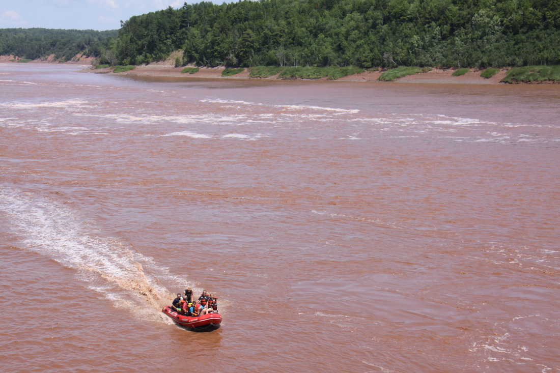
Our first stop of the day was at the Bay of Fundy Tidal Bore Interpretation Centre on the Shubenacadia River. On the way we were delayed by a long section of road works with a convoy vehicle escorting traffic through. Added to that the tidal bore arrived earlier than expected. As a result, we missed the bore itself (at least we had already seen it on our previous visit four years ago) but the interpretation centre was very interesting, giving a lot of information about the surrounding area. Unusually, dates of events were listed as b.p.e. (For example, Norse sailors visited in 450b.p.e.) I asked the lady in charge what it meant and she replied, before present era which apparently started in 1950. Sue and I were unimpressed to realise we had been born in a previous era!
After lunch we stopped for another delicious caramel cowmotion ice cream. It was a hot day so we felt we could treat ourselves.
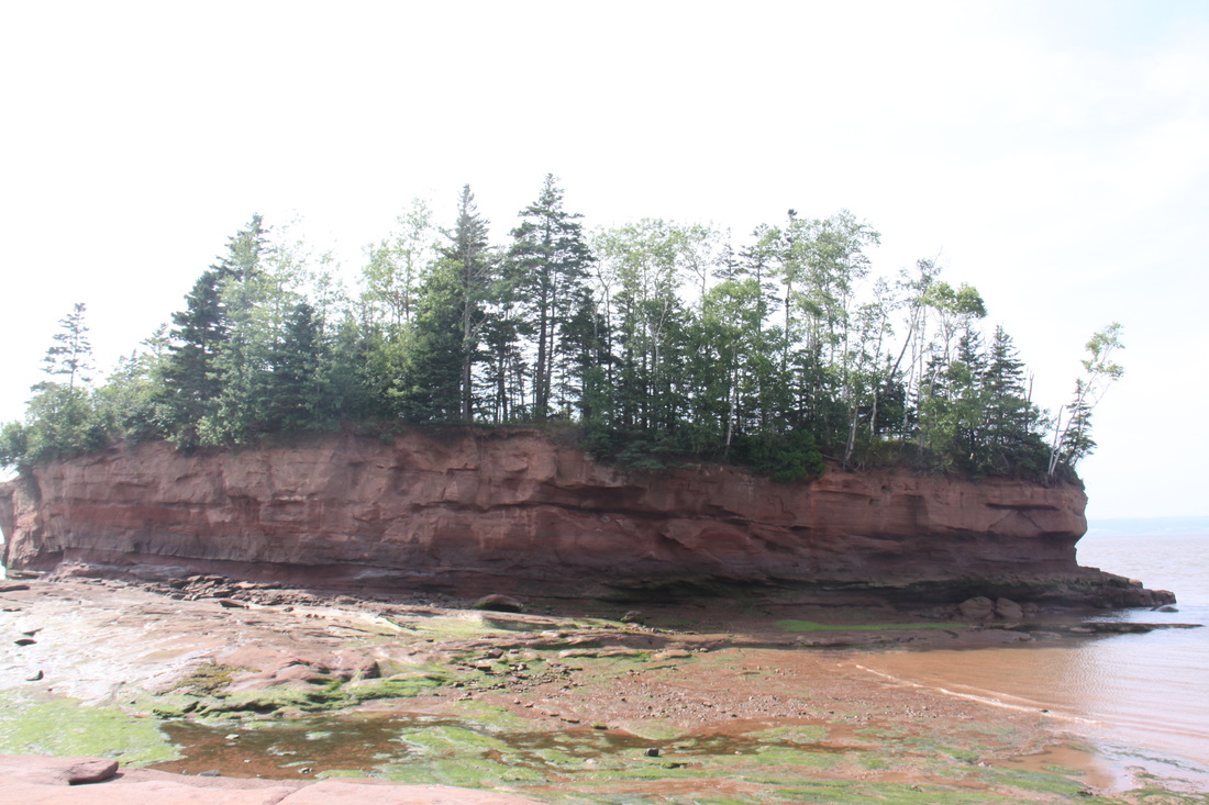
At Burncoal Head we had a short walk to the spot which holds the record for the world's highest tidal range, all 16.5metres (53.5ft) having been measured as the distance between low and high tide. There is an island in the bay which you can walk around at low tide. Once it was part of the mainland before erosion turned it into its present form. A lighthouse built on it had to be moved back onto the mainland. Back at the interpretation centre was a board with a list of suggested activities. These included coming back to see the view at high tide and watching the sun set - high tide was 9pm and sunset about 9.30. Next to the board was a sign telling us that the park gates closed at 8pm!
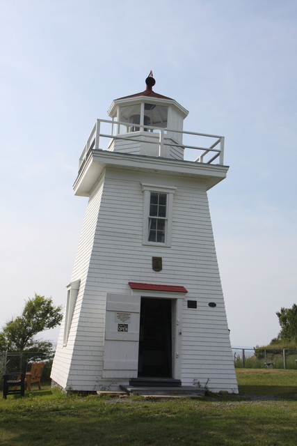
Tonight we are parked near the picturesque lighthouse built in 1873 as shipping in the port of Walton was quite active at that time. Our view is across the abandoned harbour out into the Bay of Fundy.
Friday 22nd July
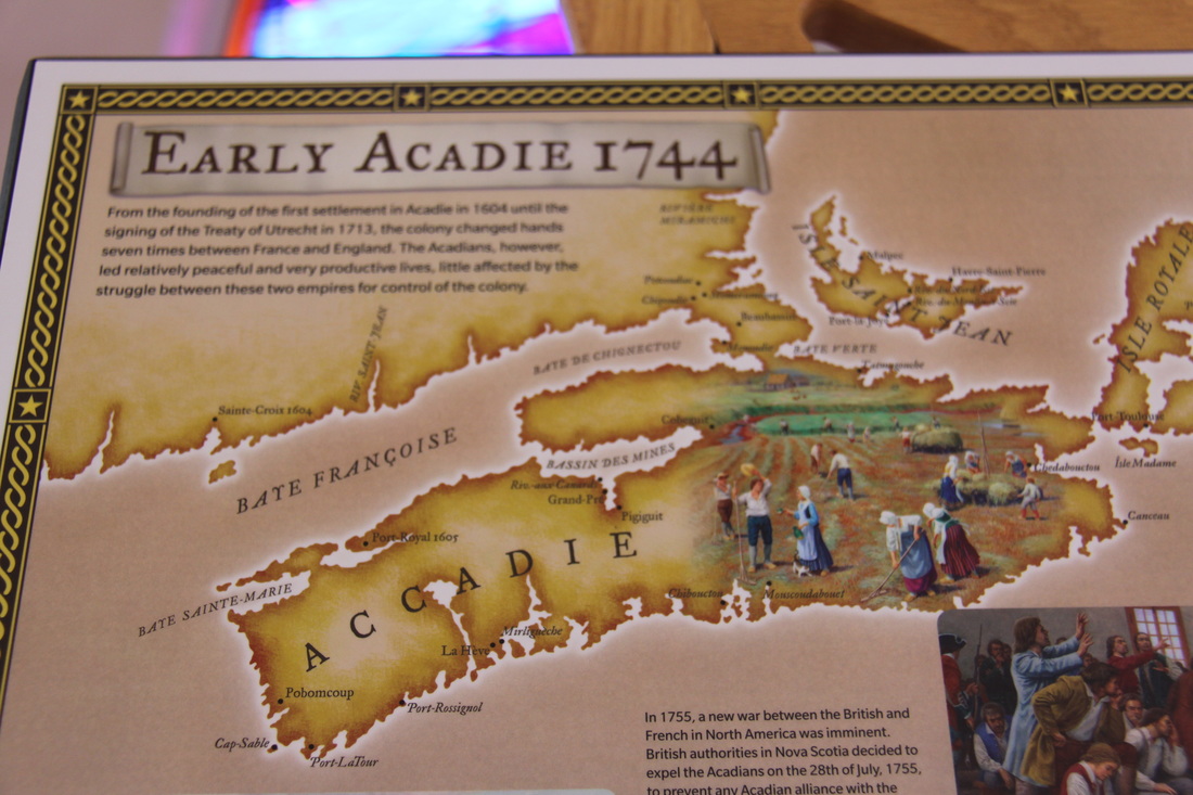
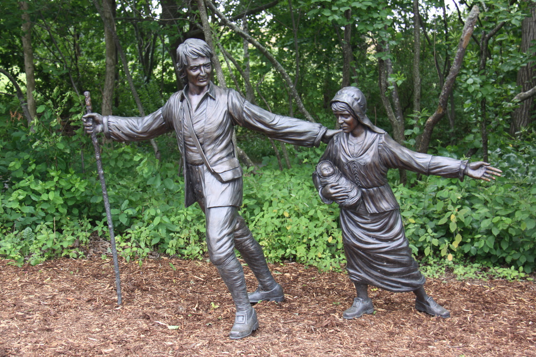
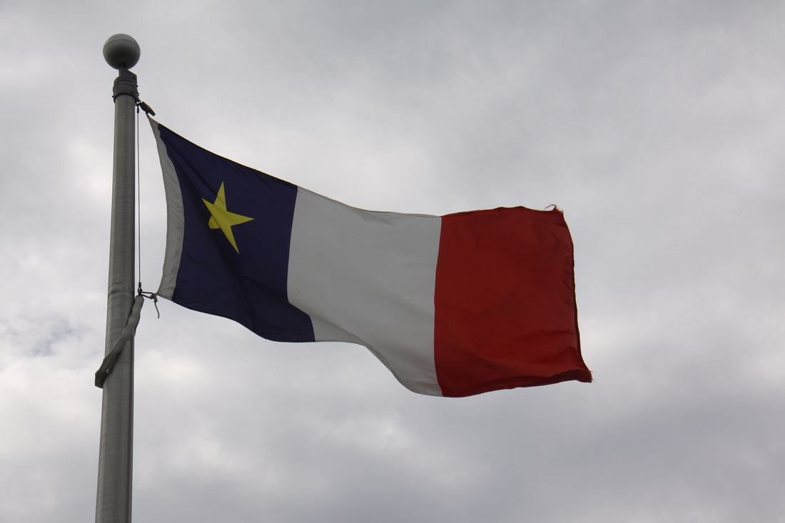
We spent today visiting Grand-Pre, a UNESCO World Heritage Site since 2012. The name Grand-Pre means Great Meadows. The original settlers came mainly from France and settled along the coasts of present day Nova Scotia. Grand-Pre was a traditional farming community. The people recognised that the salt marshes consisted of extremely fertile land but they were flooded by sea water twice a day. Dykes were constructed and wooden sluices used to drain the salt marshes to form fertile fields. The first Acadians set the pattern for farming which was continued by farmers of New England Planter descent following the expulsion of the Acadians in the second half of the 18th century.
Today Grand-Pre is a peaceful memorial to those early settlers who were so brutally removed from the area because they would not swear allegiance to the English Crown and wished to remain neutral in the war involving the English, French and the Native Indians. The famous English poet Longfellow wrote the poem Evangeline, highlighting the dreadful way in which the Acadians had been treated. A memorial church sits at the heart of the site, the early field systems are still visible and still farmed. The sea is still held back by its protective dykes while the ridge where the settlements were located and where we are camped for the night looks out over the tidal mud flats covered twice daily by the surge of the tide.
Saturday 23rd July
This morning we visited the tiny fishing community of Hall's Harbour, named after Samuel Hall, a privateer in the American Revolution who used the cove to raid settlements in the Annapolis Valley. On 30th May1813 he was ambushed by the villagers. Although he managed to escape with his life, he lost his treasure which was buried nearby by a member of his crew. It has never been found. The adaptation of the English folksong indicates his displeasure at losing his ill-gotten gains!
"Well my name is Samuel, Samuel.
Oh my name is Samuel Hall, I said Sam Hall.
Oh my name it is Sam Hall and I hate you one and all.
And I hate you one and all, blast your eyes."
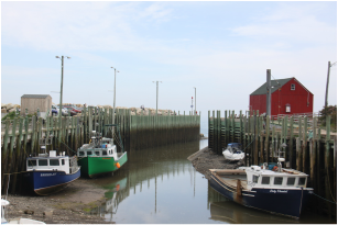
At low tide the harbour dries out completely leaving the fishing boats sat on the muddy bottom - Bay of Fundy tides again. It is a picturesque spot with a well known restaurant specialising in lobster - we had fish and chips. Our lunch was followed by yet another delicious icecream, this time "Grizzly Tracks", bought from "The Icecream Boat", an actual fishing boat high and dry in a farmers field.
From Hall's Harbour we drove through the fertile Annapolis Valley, nicknamed the "Breadbasket of Nova Scotia". This sheltered valley has numerous orchards and vineyards as well as arable and livestock farms, all crammed into a narrow strip of rich soil some 100 miles long but only about 5 miles wide. Clapboard farmhouses and white churches made for a scenic drive.
We ended the day at Digby where we drove out to view the Gut, a narrow channel that links Digby Harbour to the Bay of Fundy.
Sunday 24th July
A beautiful hot sunny day. From Digby we took the quieter coast road south. This route took us along the Baie Sainte-Marie district, apart of the Acadian Shores. The area has the largest concentration of families from Acadian descent in Nova Scotia.
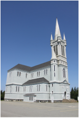
At Pointe de l'Eglise is the Church of Sainte Marie built between 1903 and 1905. Its tower and steeple are 56 metres high making it the tallest wooden church in North America.
The roof is held up by interior columns, each a complete Norwegian Spruce covered in plaster. They were not the only thing plastered, the artist who painted the ceiling was scared of heights and had to drink a large bottle of wine before starting his work. As a result the paintings are quite appalling!
This coastline has few headlands or cliffs but has a beauty of its own - sandy beaches backed by low dunes and in places sea water marshes.
We stopped for the evening at a Provincial Park overlooking a beautiful lake. As there was a nice breeze we were hoping the black flies and mosquitos would be kept at bay as dusk falls.
Monday 25th July
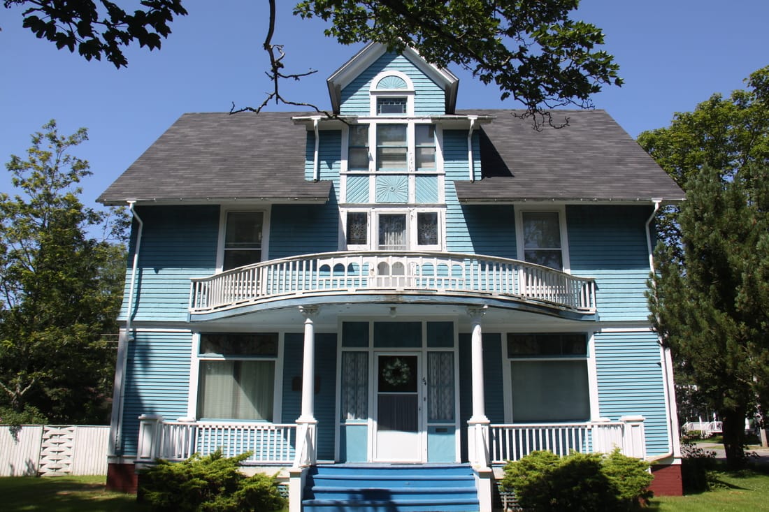
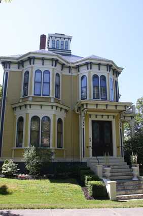
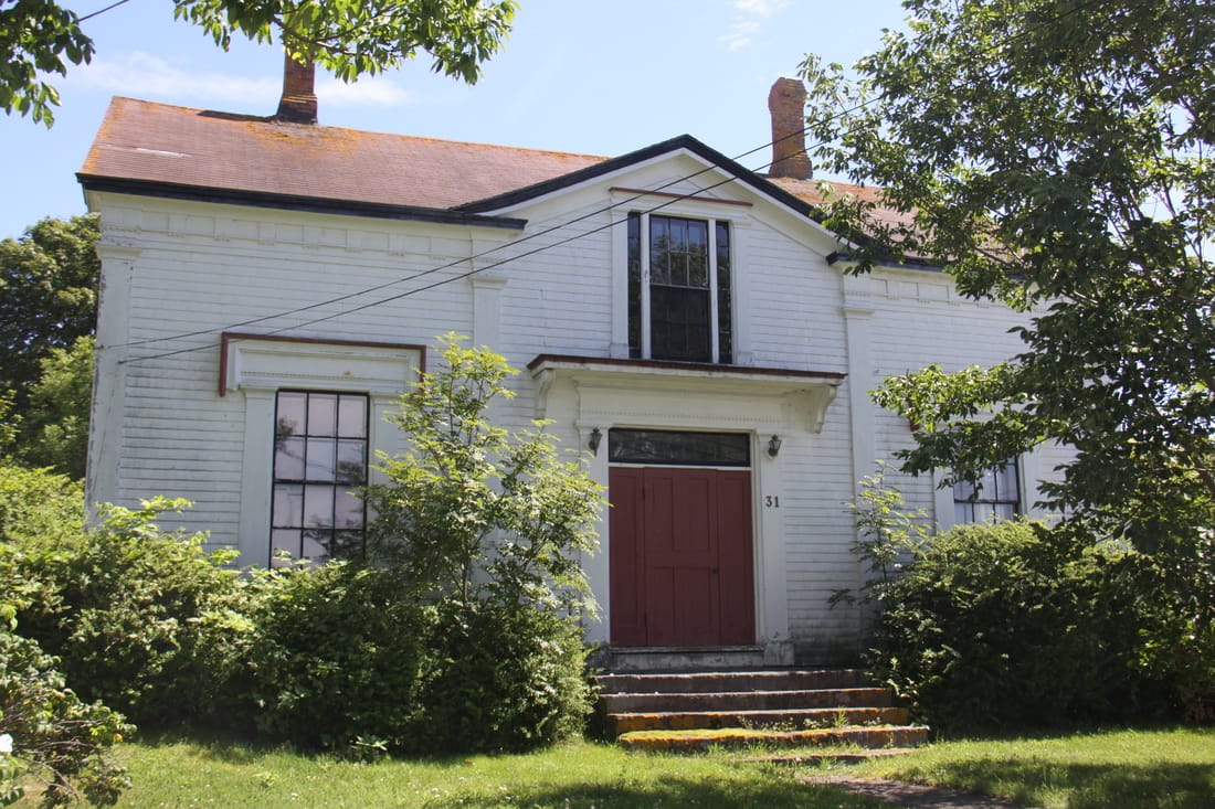
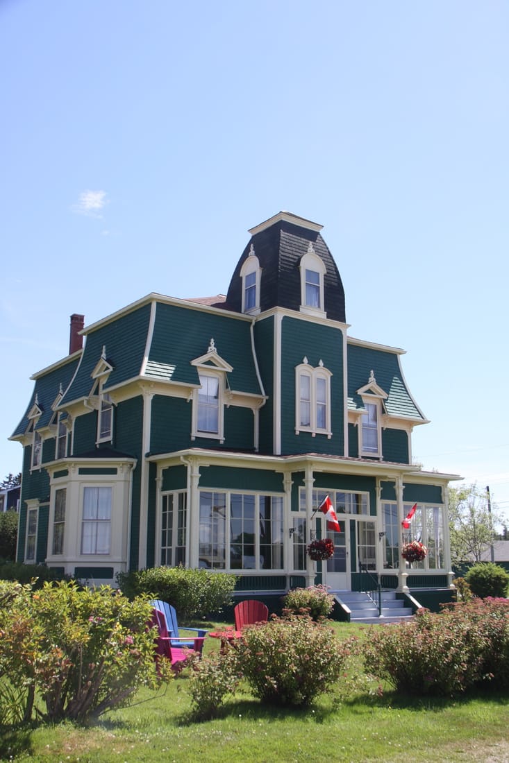
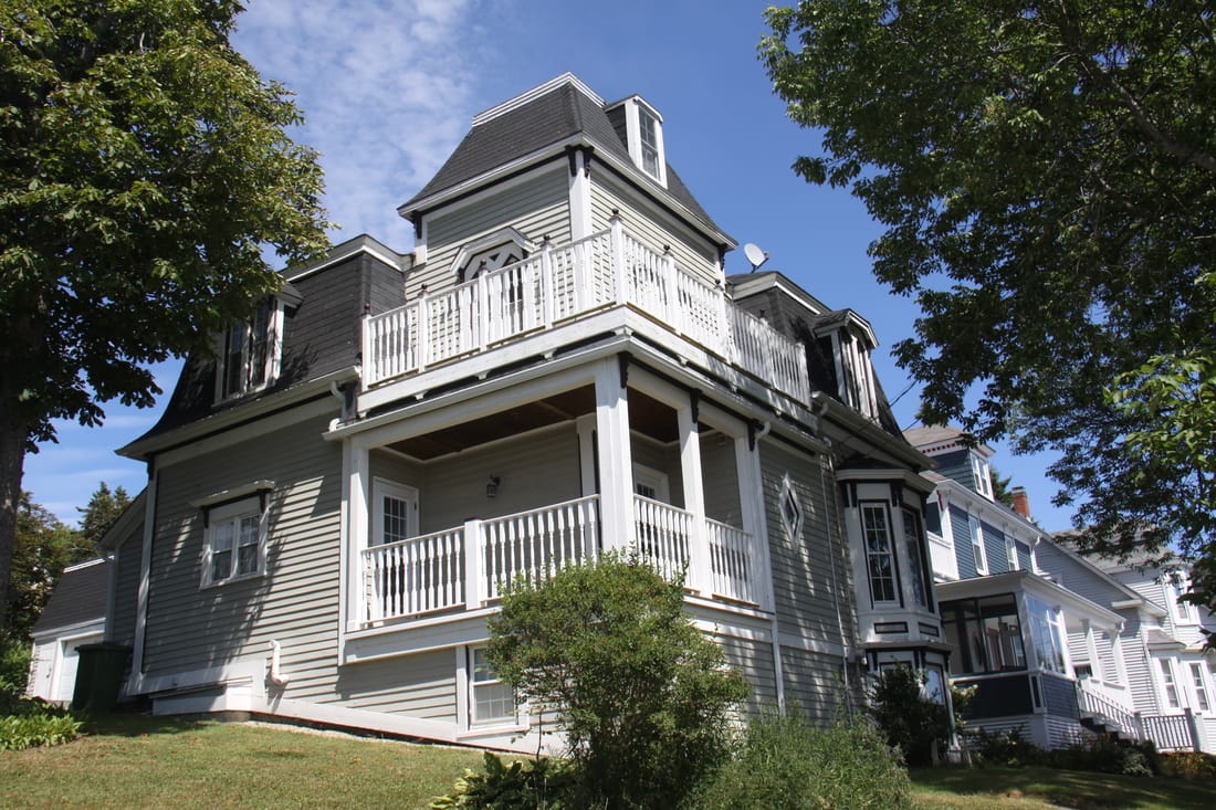
We spent this morning in Yarmouth following a historic walking tour of the "Sea Captains" Homes. Today there are over 200 sea captain's or ship owner's homes and many are still single family owned. A number still retain a "widow's walk" at roof level. This acted as a vantage point for wives, a place where they could look out to sea anticipating their husband's return.
There are a number of notable architectural styles along the walk - Classic Revival, Queen Anne Revival (usually with a tower and broad verandah) and Georgian being the main ones, all built around 1850 to 1900.
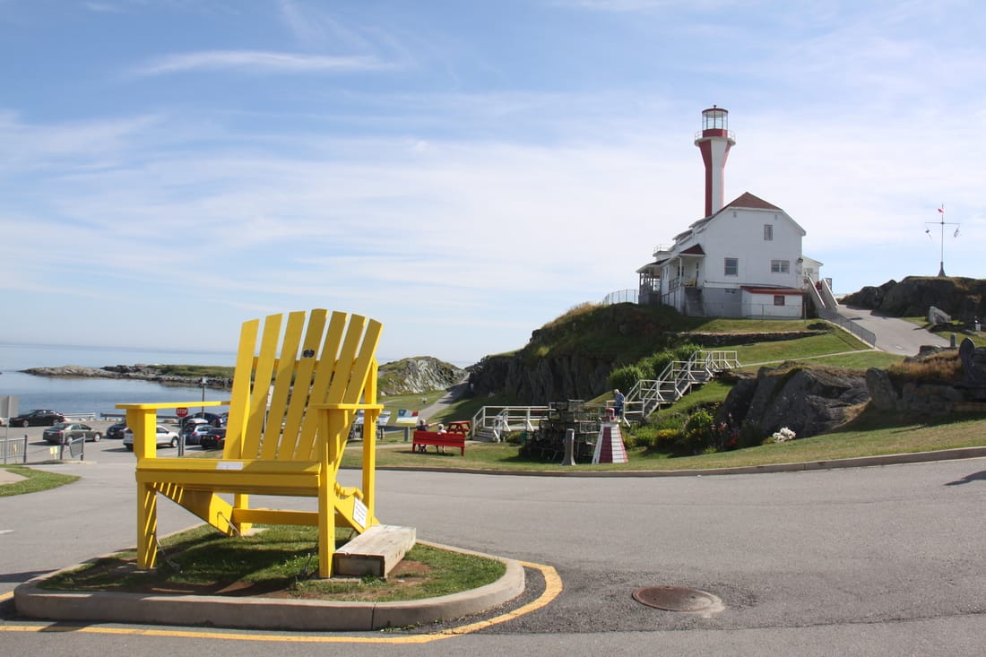
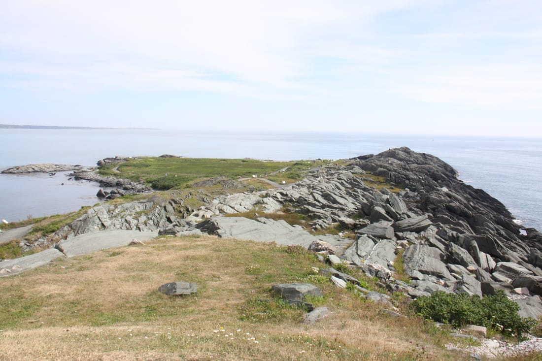
In the afternoon we drove the short distance to Cape Forchu. Here is an iconic lighthouse plus a short trail along the low lying cape. Informative panels along the trail detailed the history of the cape. It was a lovely warm afternoon so we enjoyed a number of stops along the route. We hope to witness sunset from our night parking spot.
Tuesday 26th July
The fog that rolled in off the sea last night was still thick this morning. We heard rather than saw the catamaran set off on its daily run to Maine in the U.S.A.
We spent time in Yarmouth to buy fresh provisions before setting off to follow the lighthouse trail along the southern shore coastline. It seemed fitting to be starting the trail from a lighthouse but in fact the official trail start point is for tomorrow.
This afternoon we visited the historic early 1900's Acadian village situated on a beautiful site overlooking Pubnice Harbour. Various Acadian buildings have been moved to this site. Costumed, knowledgeable guides were located in the various buildings. In one house we were offered a newly baked molasses cookie with homemade gooseberry jam, in another we were shown how to make a crocheted rag rug and down by the wharf a dory was being hand built. An enjoyable and interesting afternoon.
Our night spot car park is beside a trailhead which follows the line of a historic railway.
Wednesday 27th July
Very foggy again last night but it had cleared by the morning and it was sunny and warm. As the day wore on it became very hot with virtually no breeze.
We continued a little further along the Lighthouse Route. Part of the drive was along the low lying coast with rocky inlets and harbours but most was through the thickly forested hinterlands. We saw very few lighthouses as they are mainly on islands here and can only be reached by boat.
We stopped at Gunning Cove Harbour for lunch, a busy working fishing port but with nice views out into the bay. Further along the bay we came across a lookout point with an interpretation board outlining the local history. It was a nice quiet spot overlooking the bay. Decided to stop there for the rest of the afternoon and evening.
Thursday 28th July
We awoke to a slightly cooler day than yesterday which was a big relief. Last night the temperature hadn't dropped below 25 deg C.
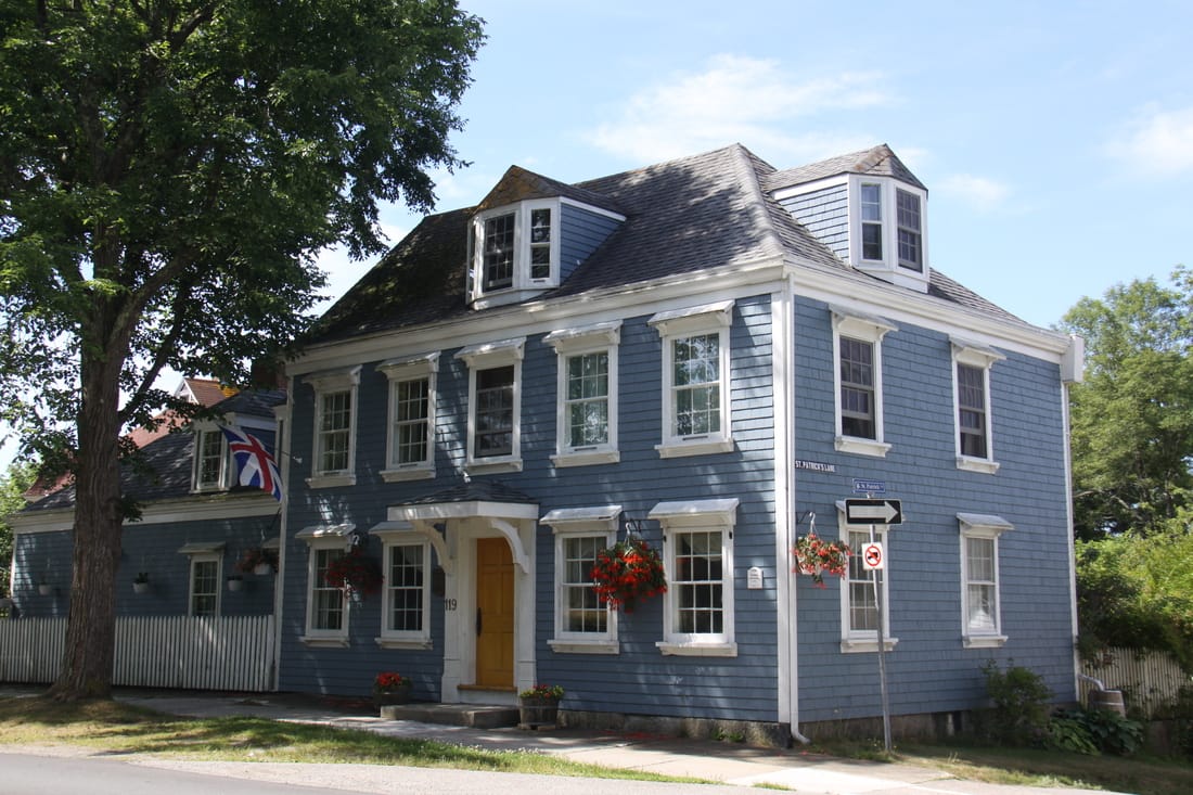
Our first stop was at the small town of Shelburne. This town was founded in 1783 by United Empire Loyalists. During the American Revolution 400 pro-British families sought refuge in Canada and founded the town of Roseway, now known as Shelburne. To this day the town proudly flies the Royalist flag - flags of England and Scotland combined. From its earliest days Shelburne has been a centre of shipbuilding.
The town trail goes past the historic dock area where a number of buildings date back to the 18th Century. Evidence of former slipways line the shore. Leading off the former main shipbuilding area are a number of elegant residences dating back to the same period. A stroll through the streets is like being in a time warp.
From Shelburne we continued further along the coast to Lockeport. This small town was formerly an island but is now linked to the mainland by a causeway. The first settlers arrived here around 1760 and it is still very much a working fishing town. One claim to fame is the Locke Family Streetscape. This is five historic homes built between 1836 and 1876 by the descendants of Jonathan Locke, the founder of the town. A second claim to fame is the town's "Crescent Beach" which featured on the back of the 1954 Canadian $50 bill.
After a delicious lunch in the local cafe, followed by a stroll round town, we braved the Atlantic for a quick swim.
The cafe owner had suggested where we might spend the night, an abandoned campground tucked away behind the Streetscape overlooking the sea. We would never have found it without her help.
Friday 29th July
Today we visited the town of Liverpool situated on the Mersey River! Apparently the town was the only place in British North America to be settled by descendants of the Mayflower. The American Revolution found the citizens of Liverpool torn between loyalty to the King and their family ties in New England. By 1776 New England privateers were disrupting commerce along the southern coast of Nova Scotia and, as a result, local citizens were permitted to raid enemy ships.
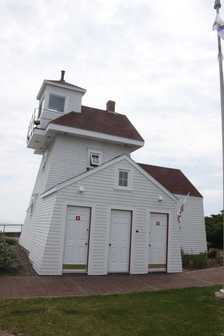
Liverpool developed into a centre for shipbuilding. At the entry to the harbour lies Fort Point Lighthouse which was built in 1855. In the early 1800's this point had been the site of a Battery and Blockhouse, neither of which had survived.
The highlight of our visit to Liverpool was undoubtedly our lunch. We stopped at a German owned restaurant and treated ourselves to a schnitzel with mushroom sauce, served with bratkartoffen and salad. This was followed by appfelstrudel and cream! Delicious.
After lunch we drove out to Medway Head Lighthouse. From there a dirt road wound its way along the coast offering some lovely views of the sea. We stopped for the night in a lookout by the shore, with the waves crashing onto the rocks. Soon the fog rolled in again.
Saturday 30th July
We drove back along the bumpy gravel road to Port Medway. The fog from last night had cleared to reveal low rocky cliffs and azure blue sea in the coves. From there we drove to Bridgewater and did some food shopping before heading to Walmart for our overnight stop.
Sunday 31st July
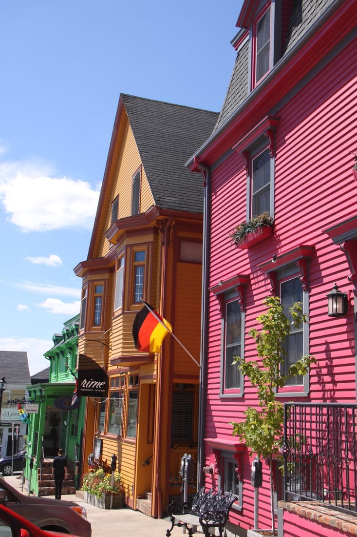
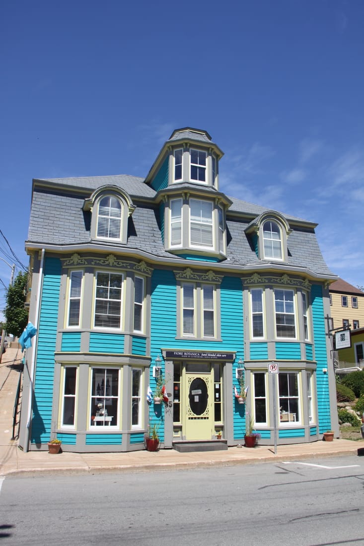
Another glorious day so we decided to go out to Lunenburg, a town we visited when we were here four years ago. The entire old historic centre of the town was declared a UNESCO World Heritage Site in 1995.
When the British founded Halifax in 1749 they were looking to expand their control in the area. To do this the British recruited German, French and Swiss farmers who founded the town in 1753. The land granted to them was rocky and unsuitable for farming so they soon diverted to fishing and the town prospered. Today the waterfront is vibrant and is the home port of the Bluenose 2, which we visited earlier this month.
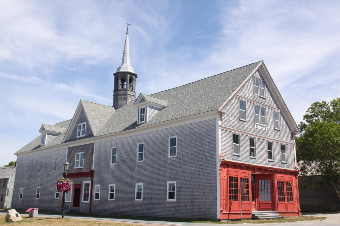
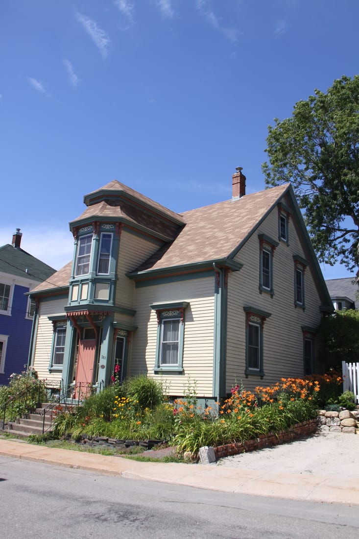
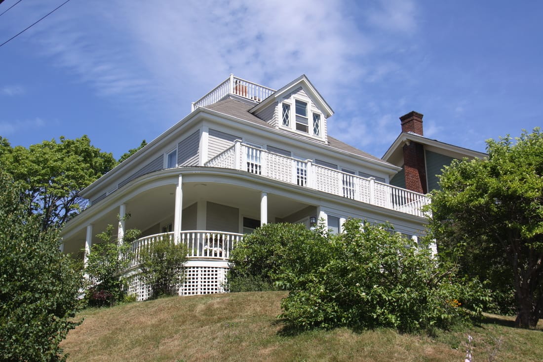
The old town buildings display a variety of architectural styles with a number of distinctive features including the Lunenburg "Bump", a bay window above the front door, "Widow's Walk", a railed rectangular rooftop viewing platform and a "Widow's Watch", a viewing tower in the attic looking out to sea. The latter two were built so that sea captain's wives could watch to see when their husbands returned to harbour.
We had a traditional fish and chip lunch on the terrace of a restaurant overlooking the bustling waterfront. To finish off the meal we had a "Hoof Prints" icecream.
We would have liked to return to an overnight parking spot at the pretty Blue Rocks, where we stayed four years ago, but today the area was far too busy for us to do this. As it was a holiday weekend here (Natal Day tomorrow), the campground at Lunenburg was full. We returned to Walmart at Bridgewater.
Monday 1st August
Our final day before heading to Halifax. Tomorrow we will be cleaning the motorhome, packing and preparing for our return home. On Thursday, after visiting the shipping agents and customs we will be delivering Nicolle to the docks and heading to the airport for our flight home.
We spent our last day at Peggy's Cove, a place we had visited four years ago and really fell in love with. On route we stopped for lunch at the memorial site to the passengers and crew of Swiss Air Flight 111 which crashed off shore on 2nd September 1998. The memorial overlooks the scene of the disaster.
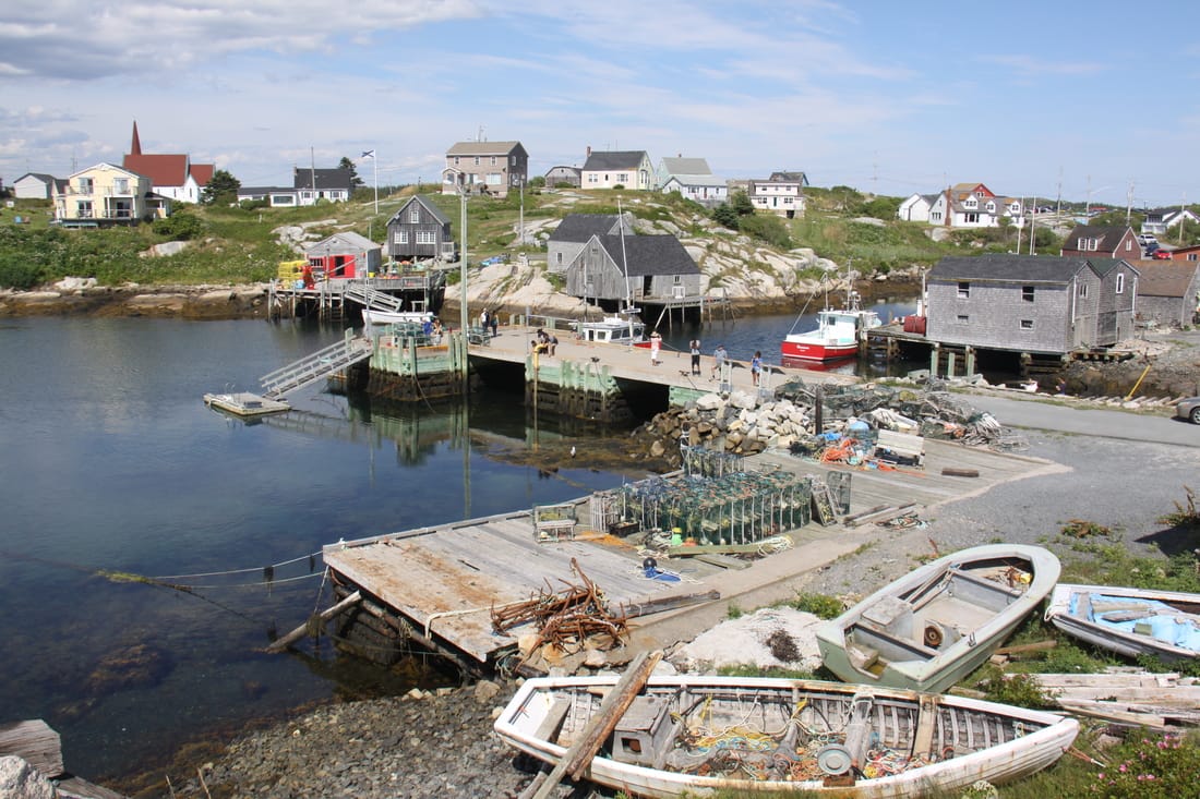
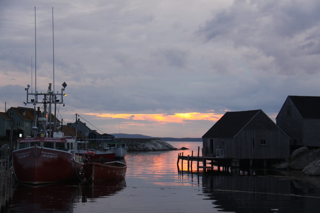
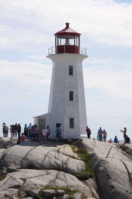
Peggy's Cove and its distinctive lighthouse have a timeless beauty and as such is one of the most visited places in Nova Scotia. It is a working fishing community set alongside a narrow, rocky inlet amongst huge granite boulders. Fishing boats, lobster pots, wooden jetties and picturesque fishermen's shacks add to the atmospheric aura of the place while the iconic lighthouse seton the boulders draws many a photographer. (Last time we were here the lighthouse was surrounded by scaffolding and being painted!)
We were expecting to have to drive to Halifax for overnight parking and were surprised and delighted when the car park attendant at the visitors centre told us we could stay here. So instead of a Walmart car park we have an idyllic spot overlooking the rocks and sea with the hopes of a lovely sunset later.
[click] to return to Home page
