Newfoundland and Labrador
Sunday 19th June
Up early today so that we could drive to the ferry terminal. As it turned out we needn't have rushed as loading was painfully slow.
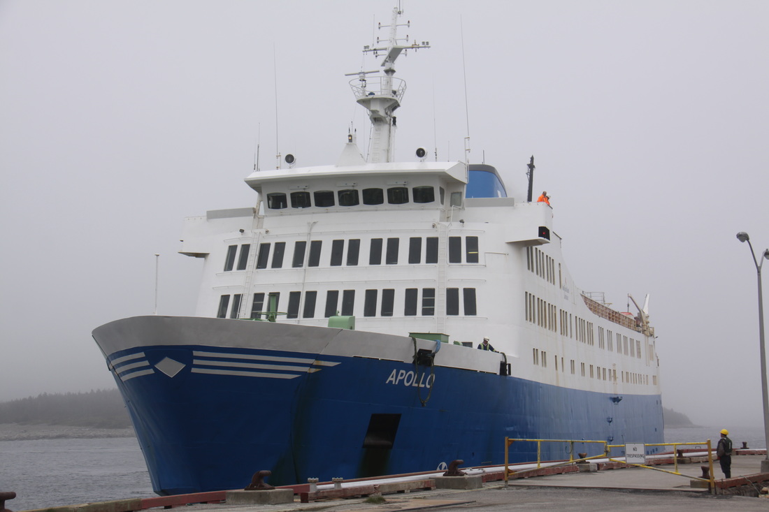
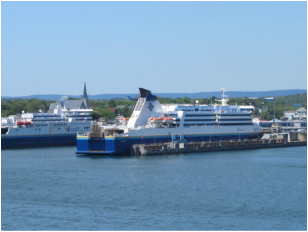
The "Highlanders" was a clean, modern vessel with plenty of seating areas. We sat out on deck in warm sunshine until we had left behind. Next was a visit to the waitress service restaurant where we enjoyed a delicious three course lunch. The crossing was very smooth.
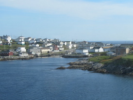
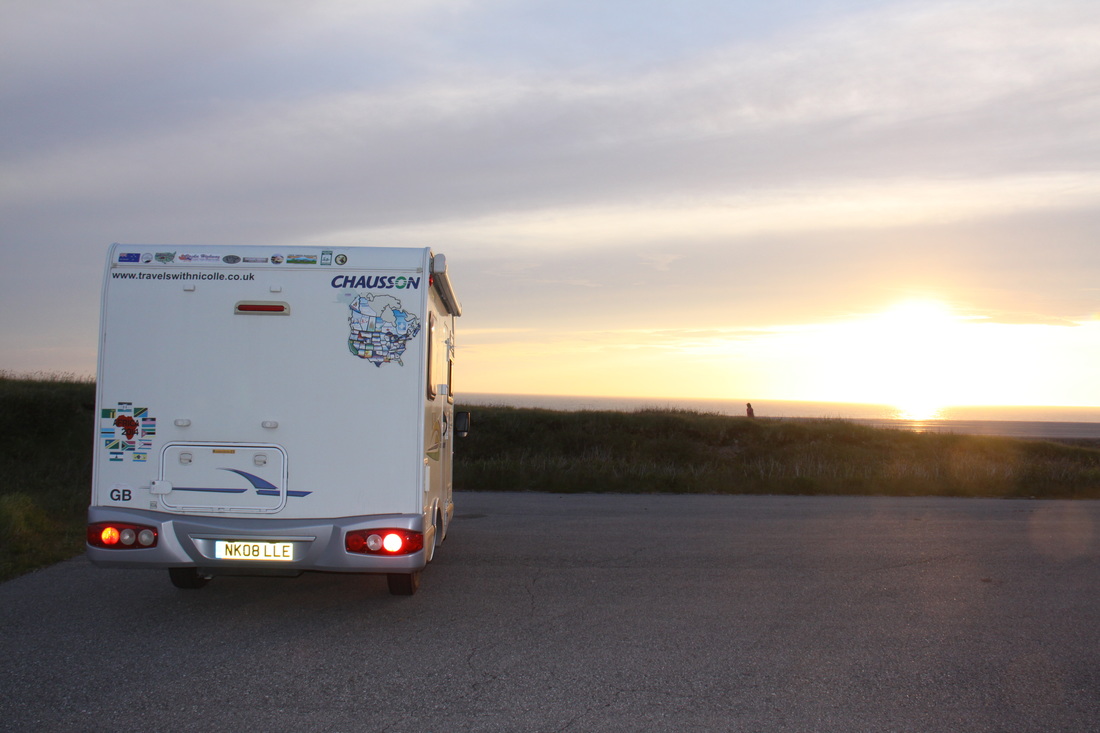
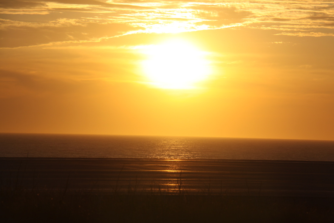
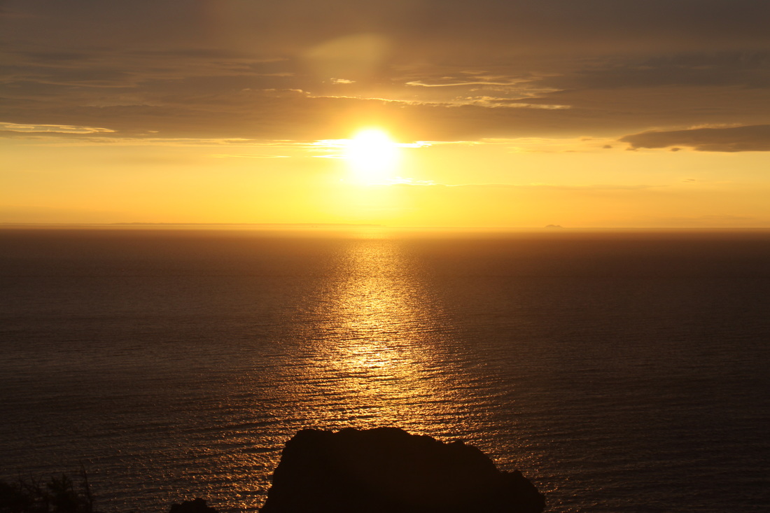
As we approached Port-aux-Basques in Newfoundland it reminded us very much of Northern Norway. After leaving the ship we drove for a short while before finding a large car park with a beautiful view over the Gulf of St. Lawrence. We were sharing our first real wild camp spot with three other campers so it must be a well known stopover. There was an added bonus of a beautiful sunset. Time in Newfoundland is three and a half hours behind GMT.
Monday 20th June
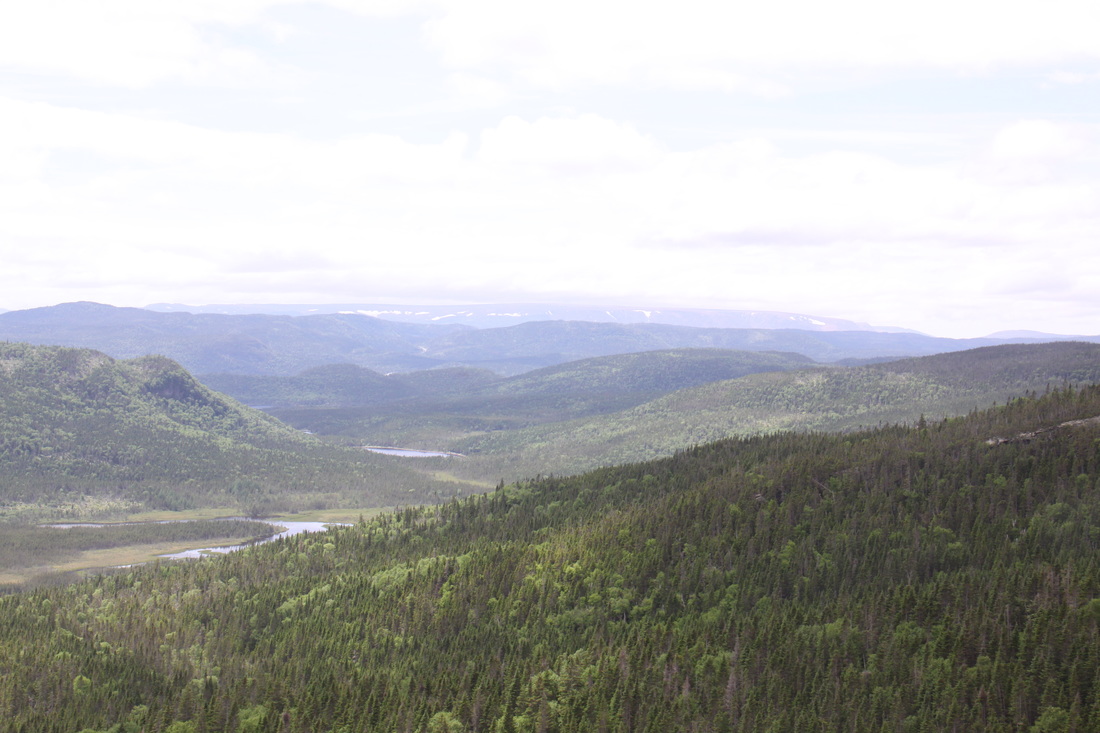
We reluctantly left our overnight car park with a view and headed further up the Trans Canadian Highway Route 1. The scenery was magnificent and there were occasional glimpses of snow lingering in sheltered spots. At one point we turned off the highway down towards the coast with the idea that we would find a quiet parking spot by the beach where we could eat our lunch - a big mistake as the road surface petered out and there was no beach parking. In future we stick to the major routes.
Overnight at Corner Brook, the last major settlement for some time.
Tuesday 21st June
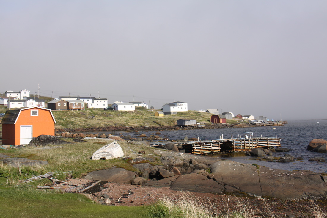
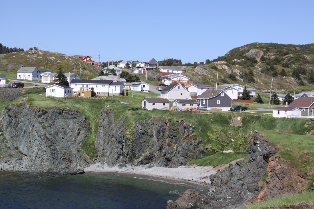
Today we headed north following the route of the Viking Trail which is a 526km coastal drive up the northern peninsula of Newfoundland. Unfortunately it was not the best of days so the first part of our journey through Gros Morne National Park, a UNESCO World Heritage Site was rather disappointing. We have to return south by this same route so if the weather is better, we will have the chance to view its beauty better. The whole area is very reminiscent of the Norwegian fiords. Small fishing villages are dotted along the coast nestling between sea and mountain. We stopped at a "snack shack" for a delicious fish and chip lunch followed by a maple and walnut ice cream.
Towards the end of the day the weather closed in and a sea fret rolled in from the cold waters of the Gulf of St. Lawrence. We overnighted at the historical site of Plum Point.
Wednesday 22nd June
Up and off early in order to reach the ferry to Labrador. We didn't have a reservation so were fortunate that despite there being on average only two or three crossings a day, there were not too many vehicles waiting to cross. We guess that the ferry is heavily subsidised as the crossing cost us about £17 - vehicle and two pensioners. It was extremely foggy so there was little to see on the one and a half hour crossing. Just before docking in Blanc Sablon, the captain announced that there were icebergs in the bay. Quite a crowd gathered on deck to see them. A deckhand came out and said it was too foggy and we would only see the icebergs if we hit them!
We spent the day driving up the 88km of paved road to Red Bay. After that there is only gravel all the way to Labrador City and eventually Quebec City. The road is so long and arduous that all drivers are loaned a satellite phone for the journey!
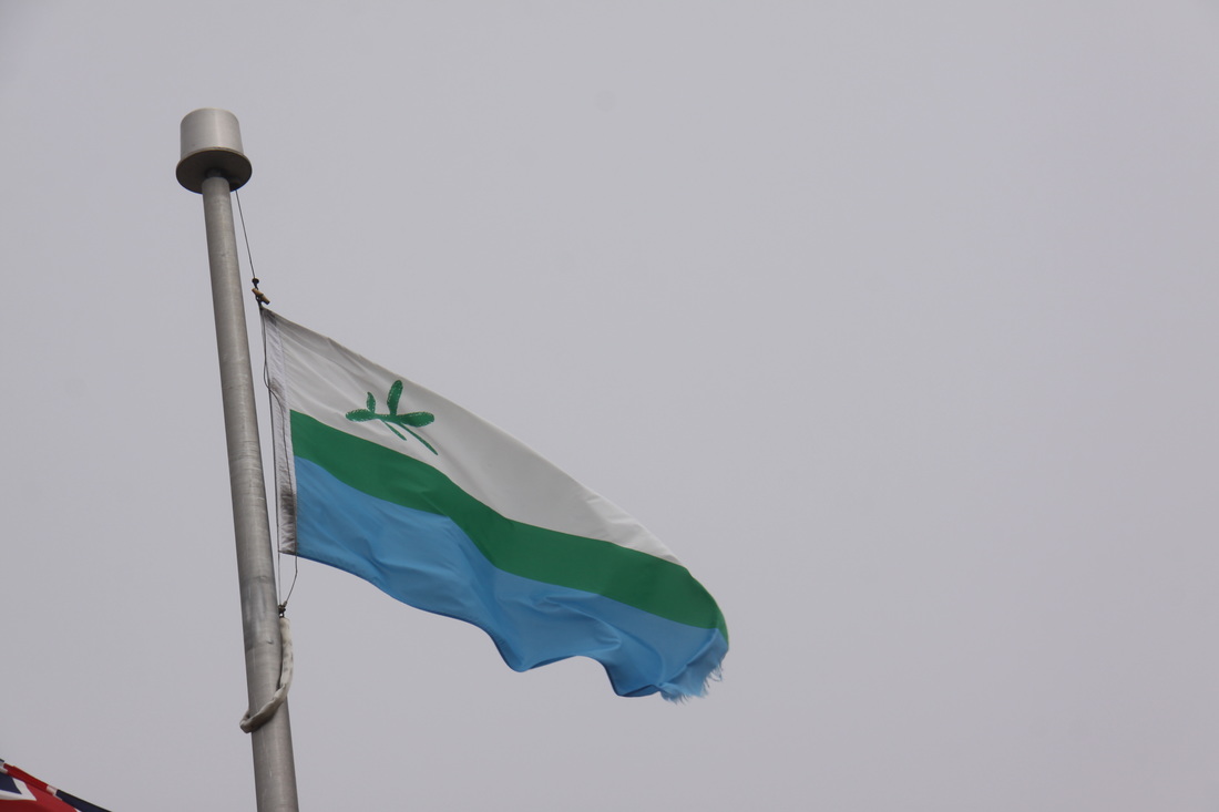
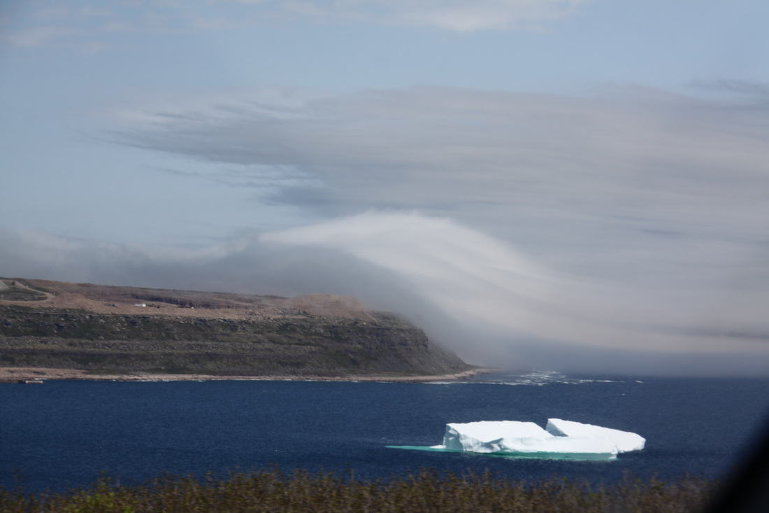
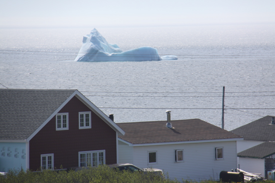
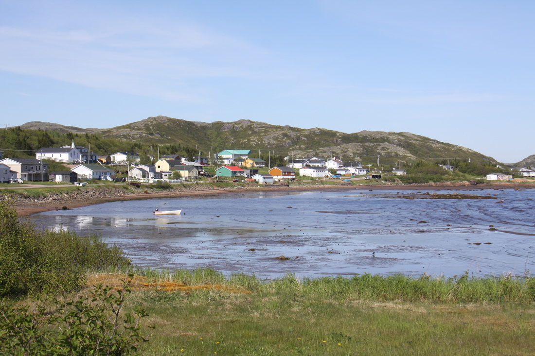
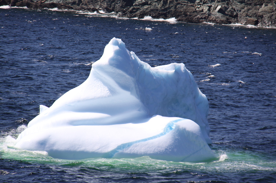
The scenery was spectacular with the road linking a string of small fishing villages nestling along the shore of each bay. As the fog cleared more icebergs appeared, a reminder that this area has only recently thrown off the grip of winter. The Labrador flag reflects the colours of the region - top bar is white representing snow; the middle bar is green like the land and the lower bar is blue for the sea. A spruce twig, common to all parts of Labrador is shown on the top left corner of the flag.
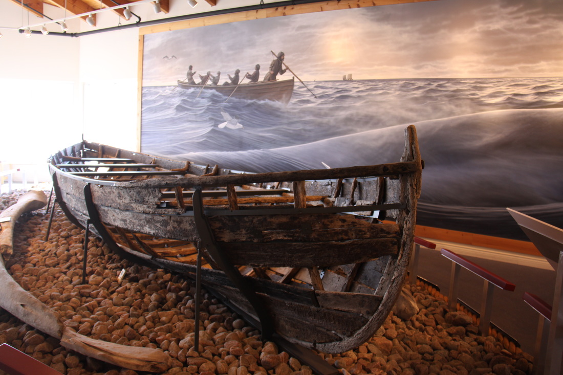
At Red Bay where we stopped for the night, we visited the interesting museum which told the story of the Basque whalers who used the bay in the 16th century. A Basque galleon was discovered sunk in the harbour in 1977. Artefacts from the wreck and copious information brings to life the story of the whaling industry that was located here.
Thursday 23rd June
This morning we drove back along the same road as yesterday - there is only one road! As it was a beautiful sunny day we enjoyed seeing the spectacular coastal bays and cliffs, most of which had been covered in fog yesterday. We were amazed at the number of icebergs close to shore and yes, the ship's captain was correct, there were quite a few icebergs close to the ferry terminal.
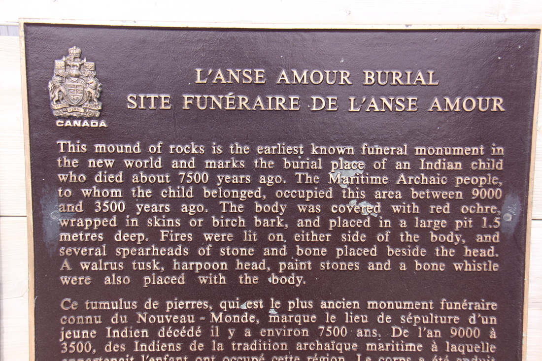
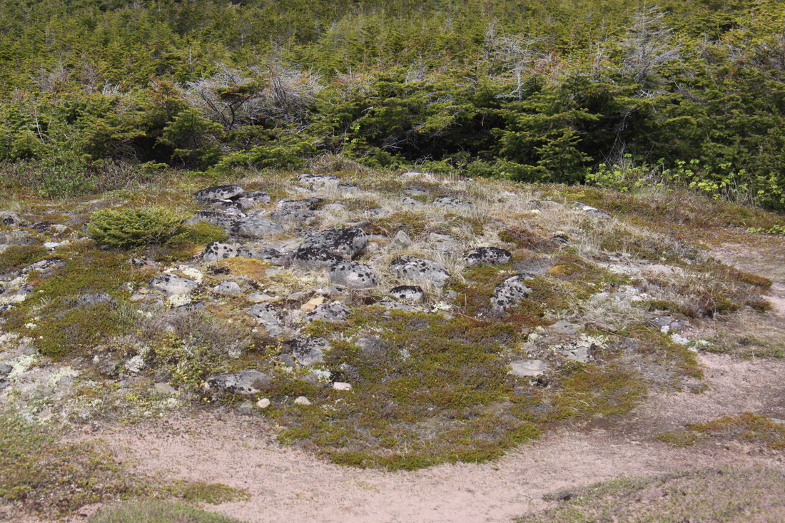
We visited the L'Anse Amour burial site. Remains of a young boy were found here which date back to 7500 years ago, making this the earliest known burial site in North America.
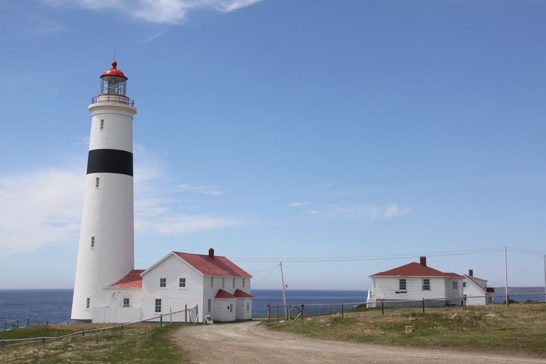
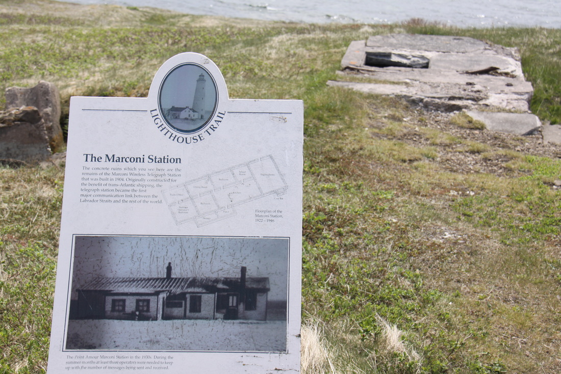
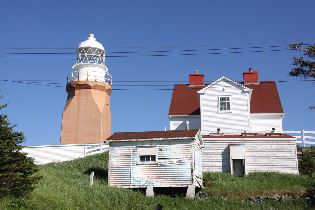
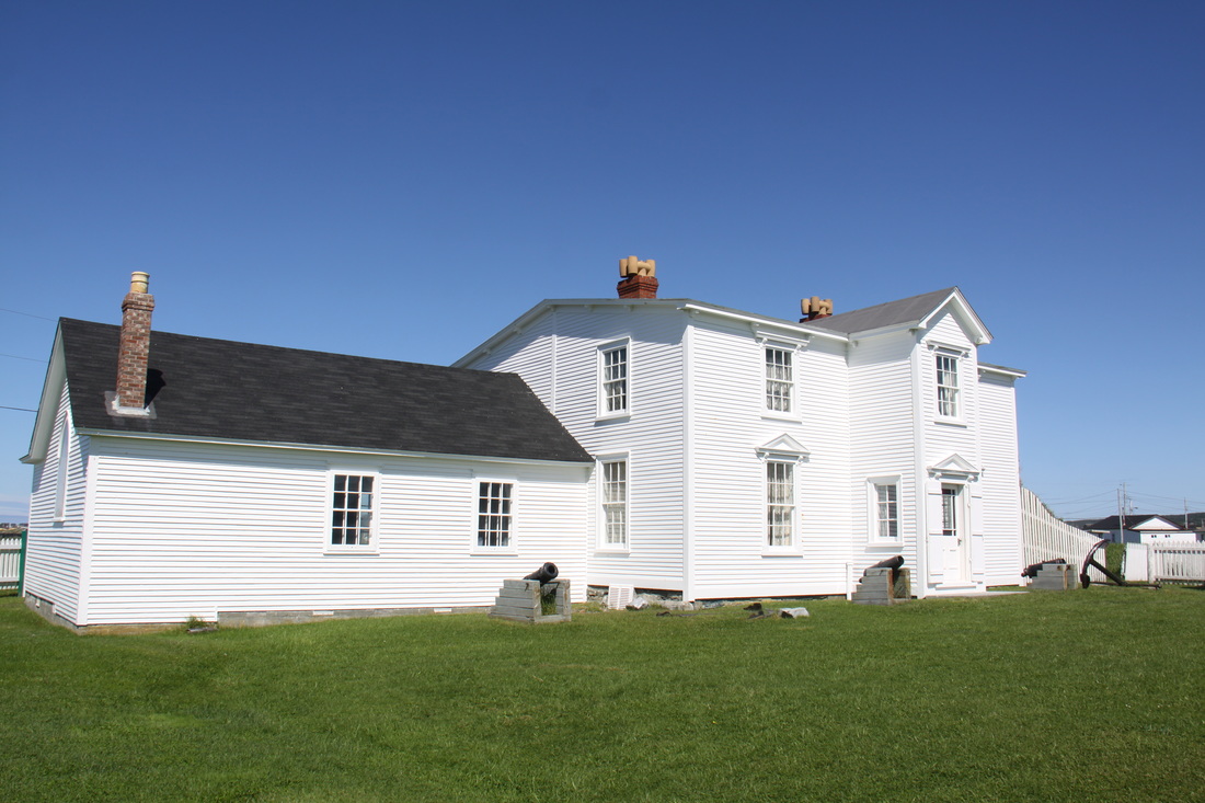
Close by is the Point Amour Lighthouse and Keeper's cottages. The remains of a Marconi Telegraph Signalling Post and an early fog horn were also nearby. No need for the foghorn today as it was clear enough to see the coast of Newfoundland across the Strait of Belle Isle.
After lunch we left the Labrador Coastal Drive and headed into Quebec Province. Here there is 68km of tarred road which provided a smooth drive to Vieux Fort. The roads in Labrador were, in comparison, in a very poor condition with many potholes and patchwork quilt like repairs that gave a very bumpy and slow ride.
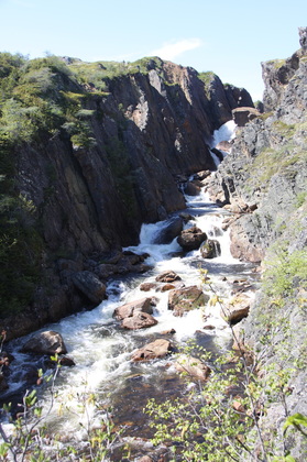
Opposite Perroquets Island we walked to a viewing point but there was not a puffin in sight. The beach was sandy and the water icy cold. We also stopped to view Bradore Falls, a picturesque series of waterfalls. This whole region has extensive rocky areas worn smooth by the glaciers from the Laurentide Ice Sheet that once covered this part of Canada. Erratic boulders pepper the land, lakes, rivers and shores of the bays.
The road ends at Vieux Fort. We turned around and headed back, spending the night parked at an overlook above St. Paul's River. To begin with, the views out to sea were spectacular but soon the temperature started to drop and the fog rolled in off the sea.
Friday 24th June
Sue's birthday. She started the day by opening cards and presents brought from home.
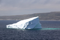
The fog had really rolled in overnight so it was not an easy drive back to the ferry at Blanc-Sablon. When there was a break in the fog we noticed that there were far more large icebergs closer into the shore than yesterday.
The crossing back to Newfoundland was a little choppy. Not much choice of food in the onboard cafeteria but the club sandwiches and fries were tasty - Sue's birthday meal will have to wait awhile!
It was quite windy once we were back on dry land. At least this would keep the black flies and mosquitos away.
We stopped at a lovely RV park in St. Barbe for the night.
Saturday 25th June
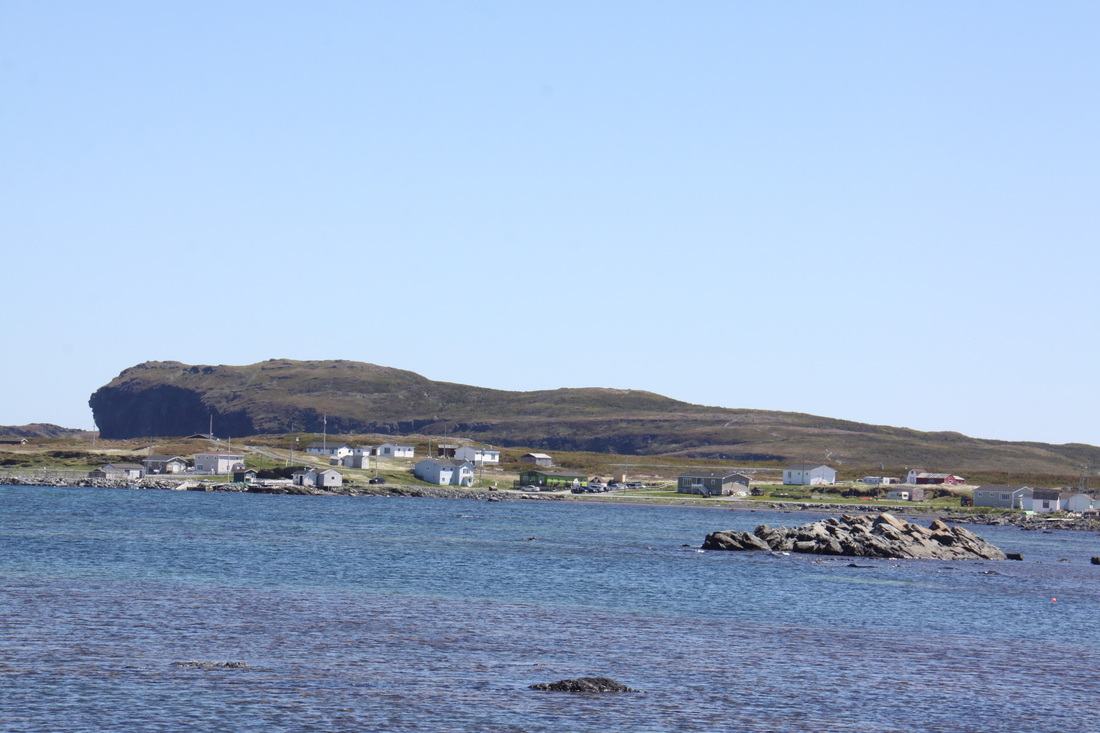
This morning we continued to follow the Viking Trail coastal route north, passing through many small fishing settlements with evocative names such as Anchor Point, Deadman's Cove, Nameless Cove and Flower's Cove. Each had its own tiny harbour and fishing shacks all exposed to the prevailing north westerly wind.
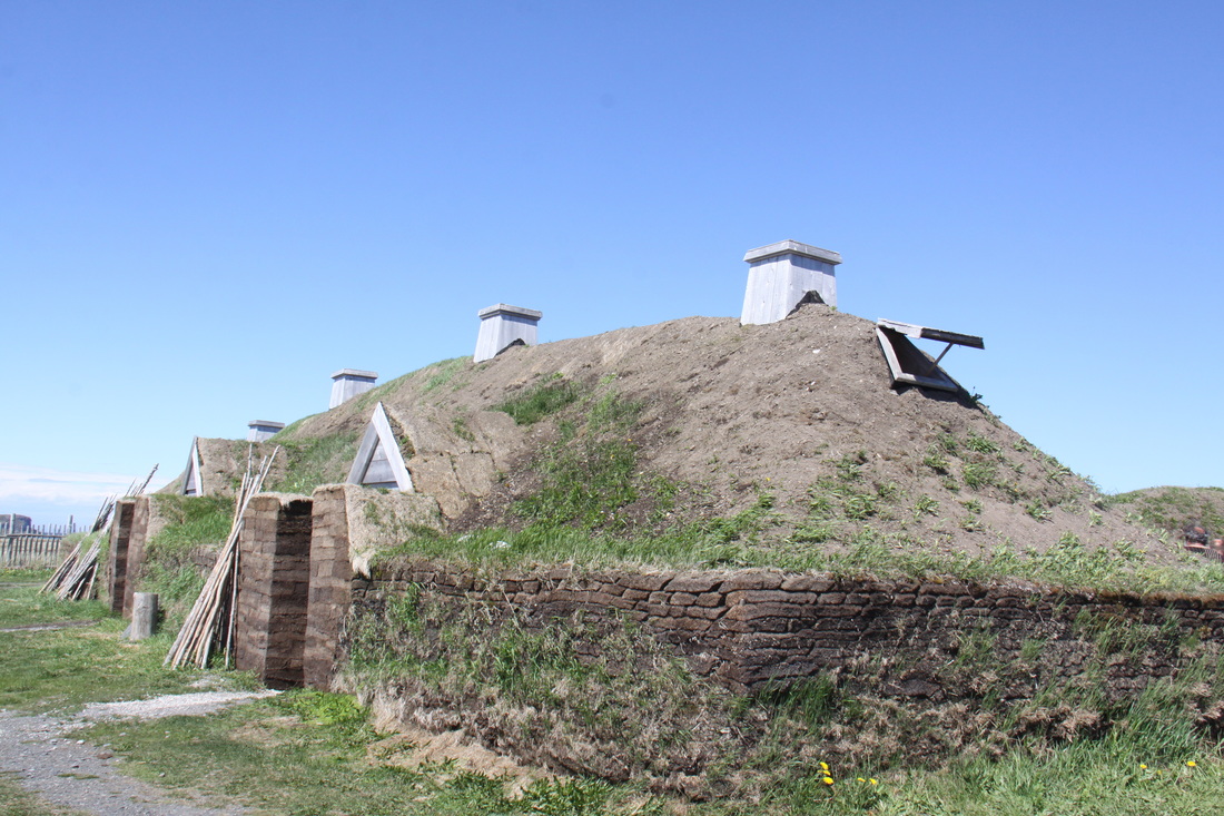
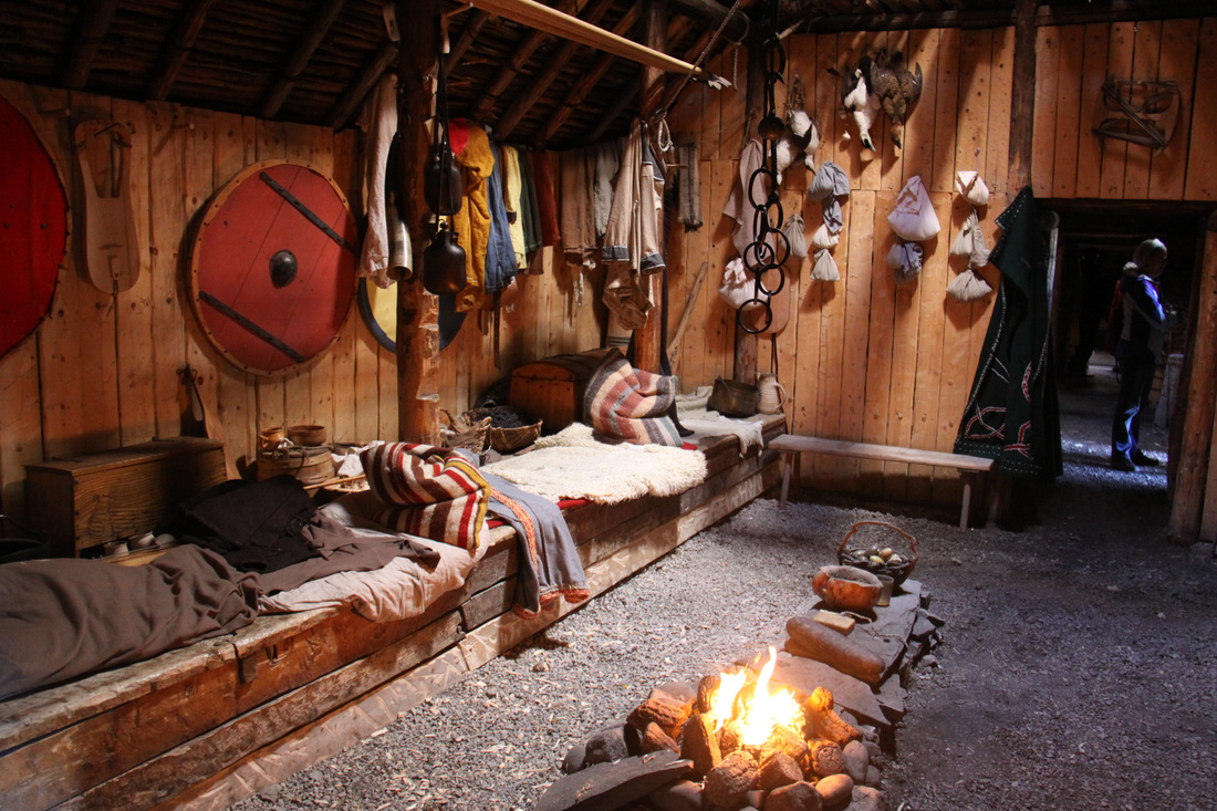
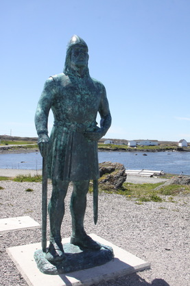
The end of the road and the most northerly point of mainland Newfoundland is L'Anse aux Meadows, the site of a 1000 year old Norse encampment. Here, under the guidance and leadership of Leif Eiriksson, the son of Eric the Red, a small group of less than 100 people set up a small over-wintering base consisting of turf-walled buildings. From here expeditions travelled south to the district known as Vinland, in search of timber, butternuts and wild grapes.
It was on one of these expeditions that the Norse tribesmen met North American Indians for the first time. 100,000 years ago, Homo sapiens first ventured out of Africa. Some travelled north and west, eventually reaching Europe. Others travelled east towards Asia, crossing the land-bridge to North America. At this epic meeting the circle was complete, mankind had now finally encircled our planet.
The search for timber had been the motivating force behind the visit to Newfoundland. Eric the Red had established a settlement in Greenland, naming it such so as to attract his fellow countrymen to join him. However, there were no trees so they could not repair their ships or indeed build new ones.
Today the earth banks are all that remain. The site is a UNESCO World Heritage Site and is listed as being the scant remains of the earliest verified European encampment. We watched an interesting video which clearly detailed the background, then followed a track taking on the earth banks of the original camp as well as a reconstructed sod built great hall.
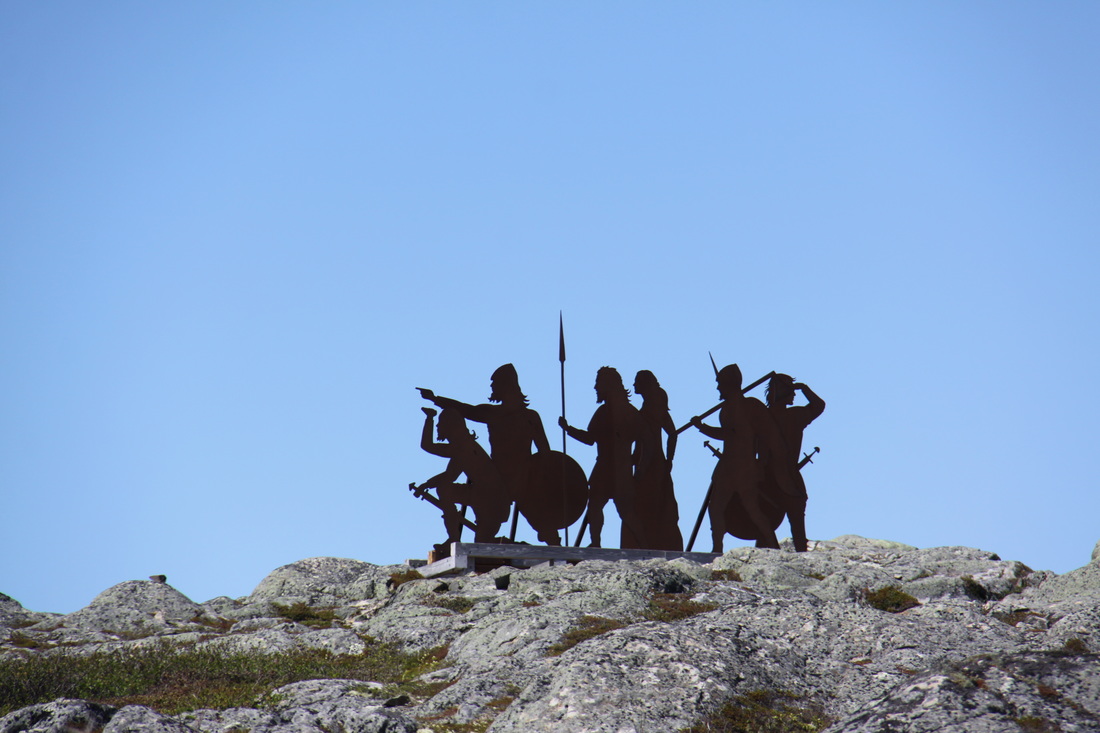
From the Visitors Centre we then followed a trail round the Epaves Bay. A large number of icebergs still filled the bay. The track was rocky and difficult at times but the views were spectacular. A broad walk then passed over a short section of bog before a flight of wooden steps took us up the low cliff and over a bridge crossing a ravine. The cold Labrador Current sweeping down from Greenland cools the shore and the vegetation is sub arctic tundra. From here the trail soon heads inland, crossing a bog and into forests with fully mature trees 2 to 3 feet high. A broad walk crosses a boggy section where patches of bog iron are clearly visible. The Norse smelted the iron ore to make nails to repair their ships. The path then skirts round Skin Lake, seal skins were soaked and cured here to make boots and clothing. From here the trail returns to the car park where a hard and rugged track leads up to the Norse Monument on the top of the highest hill in the area.
Returning to the Visitors Centre we had a long discussion with one of the Park Wardens. He had seen Nicolle in the car park and was interested in our travels. He had a 4X4 camper and loved wilderness camping. He directed us to a clearing in the forest where we could park overnight.
Sunday 26th June
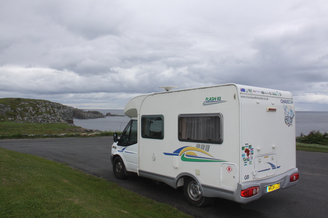
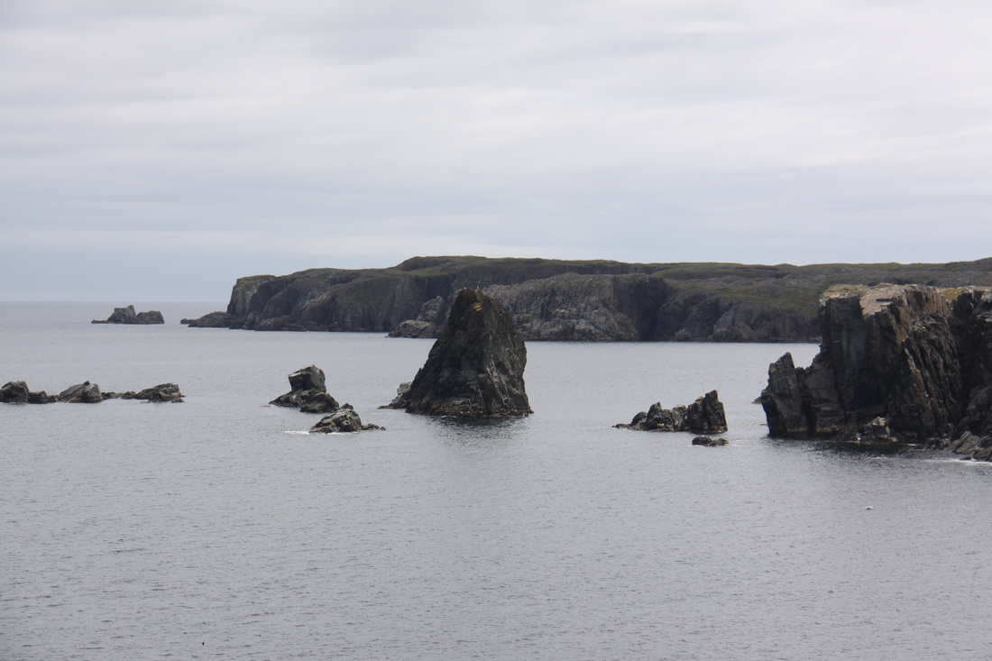
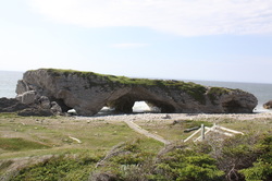
Today we headed south back down the Northern Peninsula. There was a very strong wind blowing and as much of the road is close to the shoreline it was not the easiest of drives. We stopped to see the sea arches at Arches Provincial Park and, although it was a little early in the day, we realised that the car park was relatively sheltered so would make a good night's halt. A number of other fellow campers had the same idea.
Monday 27th June
The morning was spent pottering south along a rugged coastline. We made a number of stops to view the headlands, the shingle banks made up of boulders of football proportions and a huge number of tree trunks - the latter making us recall the beaches we had seen in New Zealand.
Gros Morne National Park, a UNESCO World Heritage Site, is famous not just for its natural beauty but also its geological sites. Many of the mountains are bare topped with fjords running inland, all of which lead to stunning scenery, especially on a bright sunny day like today.
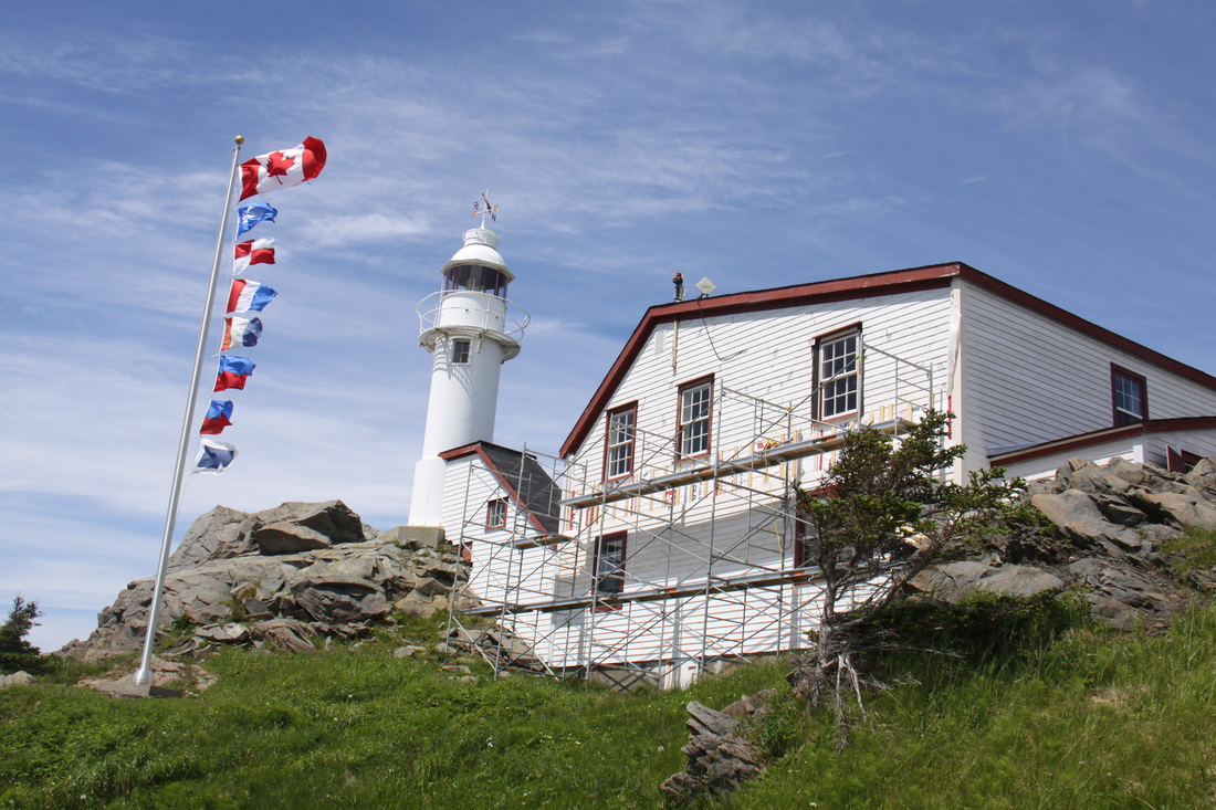
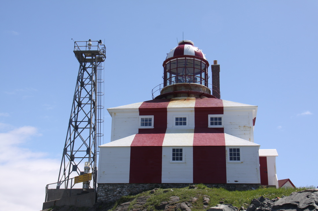
We visited the picturesque Lobster Cove Head Lighthouse perched on a small cliff from where there were stunning views, plus a riddle to solve. To do this you needed to know your Maritime Signal Flags - not a problem for us, I was a Girl Guide and Sea Scout, John was a Royal Navy Officer! Today's flags red "puttees". The significance was that they were honouring the Newfoundland "Blue Puttees" regiment who suffered horrendous loss of life when they were ordered over the top this week a hundred years ago.
From the National Park we headed back to the Trans Canada Highway Route 1 and started a 600km journey across to St. John's - forests and lakes being the predominant scenery.
We stayed overnight in the Visitors Centre car park at Springdale.
Tuesday 28th June
In the morning we drove further east along the Trans Canada Highway (the only east-west road across Newfoundland) until the turn off heading north to the settlement of Twillingate. The village is situated at the end of a string of islands linked by bridges and causeways.
Twillingate was originally settled by the English in the early eighteenth Century although it had already been used by visiting French fishermen for several decades. They originally called it Toulinquet.
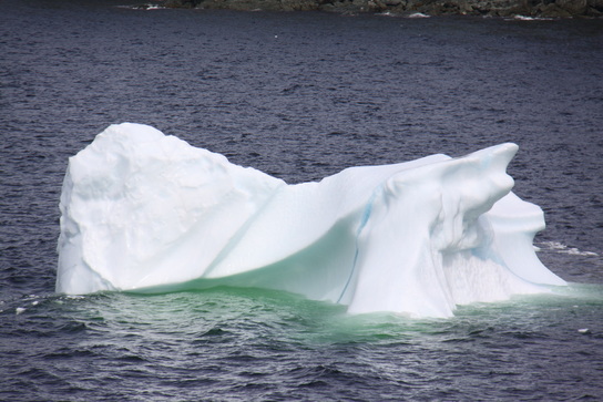
An important cod fishing port until the 1990's, Twillingate now proclaims itself as the Iceberg Capital of the World. The icebergs, which are tens of thousands years old, originate in Greenland and the Arctic and are driven down by the cold Labrador Current. Although there were a couple of icebergs grounded in the sheltered bays, the Labrador coast where we were last week had more inshore.
We parked overnight by Long Point Lighthouse. We witnessed a spectacular sunset and whales blowing close to shore.
Wednesday 29th June
We spent the morning pottering around attractive Twillingate with its old clapboard houses and small fishing harbour. There were a number of craft shops to browse round - some of the quilts on display were amazing. There was also an excellent fabric store in the village.
We revisited Sleepy Cove where we had seen a large iceberg yesterday. Just after we reached the cove we heard a crack like a pistol shot - the iceberg calfed as we watched. It took a long time to stabilise and at one point we thought it was going to overturn. All in all a truly amazing sight.
Our next visit was to the Auk Island winery which specialises in fruit wines. We had a short tour of the winery. Our guide explained in great detail how the wine was produced and was very patient in answering questions. John picked up a lot of tips to help him with his own home winemaking. We then had a wine tasting session- there seemed to be no limit to the number of wines you could taste!
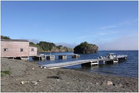
We had lunch there and spent the afternoon chatting to a delightful couple from Alberta. It was almost closing time before we left the cafe so we returned to last night's spot by the lighthouse. No beautiful sunset tonight, just rain, fog and a very loud foghorn!
Thursday 30th June
We awoke to rain but the visibility was better so no foghorn. There were at least four new icebergs visible including one very large one some distance from shore.
After leaving Twillingate we headed back across the islands to join the highway south to Gander. This route took us along pretty Gander Bay then south across forested tracts to rejoin the Trans Canada Highway. The town of Gander developed around the airport which was an airforce base and re-fuelling stop for incoming flights from Europe. The original settlement was too close to the airport so the whole town was rebuilt further away.
We stocked up on fresh food in Walmart and received an enthusiastic welcome when we asked if we could park there overnight.
Friday 1st July
Canada Day, and here in Newfoundland also Memorial Day. Exactly one hundred years ago today, during the First World War, the 801 men of the Newfoundland Regiment were ordered "over the top" during the Battle of Beaumont-Hamel in France. Next day only 68 men attended roll call, all the rest were either killed, missing or wounded.
As everywhere was closed for the day we decided to stay in Gander for a further day. The young man working in the Tourist Office had said that he was unaware of any special celebrations arranged for the day. We learned, too late in the day that there had indeed been celebrations - so much for the knowledge, or rather lack of knowledge, of the local Tourist Office staff!
Saturday 2nd July
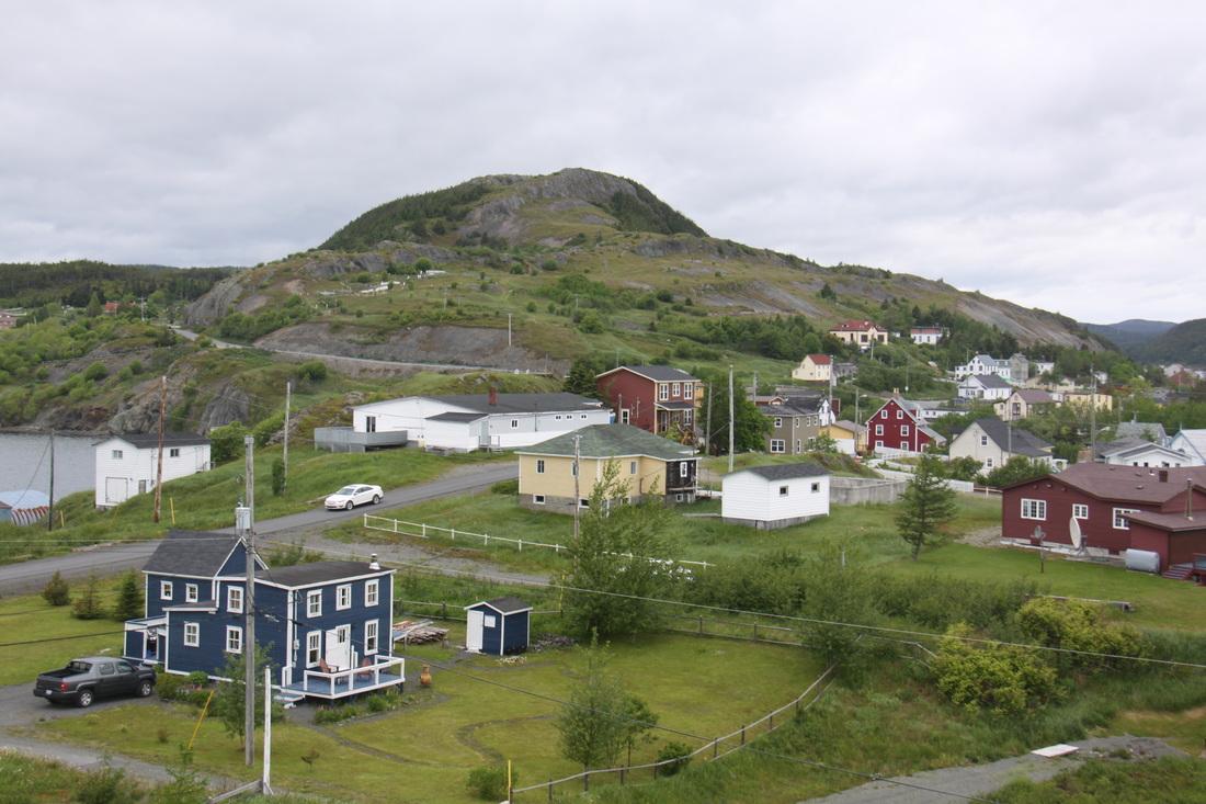
Still following the Trans Canada Highway we headed nearer to St. John's before turning off onto the Bonavista Peninsula. The further out on to the peninsula we drove the more spectacular the scenery became. We missed a turning and by mistake ended up in the small village of East Trinity. What a gem it was, nestling amidst craggy, rocky headlands with sheltered coves in between and a view across the bight to Trinity where we had intended to stop. A local fisherman, returning with a catch of codfish, showed us where we could park for the night. We sat and delighted in the view as the fog started to roll in from the sea.
Sunday 3rd July
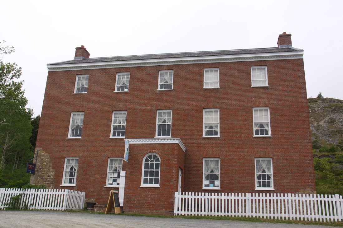
We drove the short distance to Trinity, a small fishing settlement with strong historic links to Poole in Dorset. The mercantile families of the Lesters and the Garlands conducted their Newfoundland fishery trade from Trinity and Poole. Their family home was the first brick building in Newfoundland. By the 1990's the only part of the house left standing were a section of an end wall and the original stone foundations.
The house has now been reconstructed to the design and architectural details of when it was first built in the 1760's. The Dorset folk group The Yetties performed three charity concerts, two in Poole and one in Trinity, to help raise funds for the restoration.
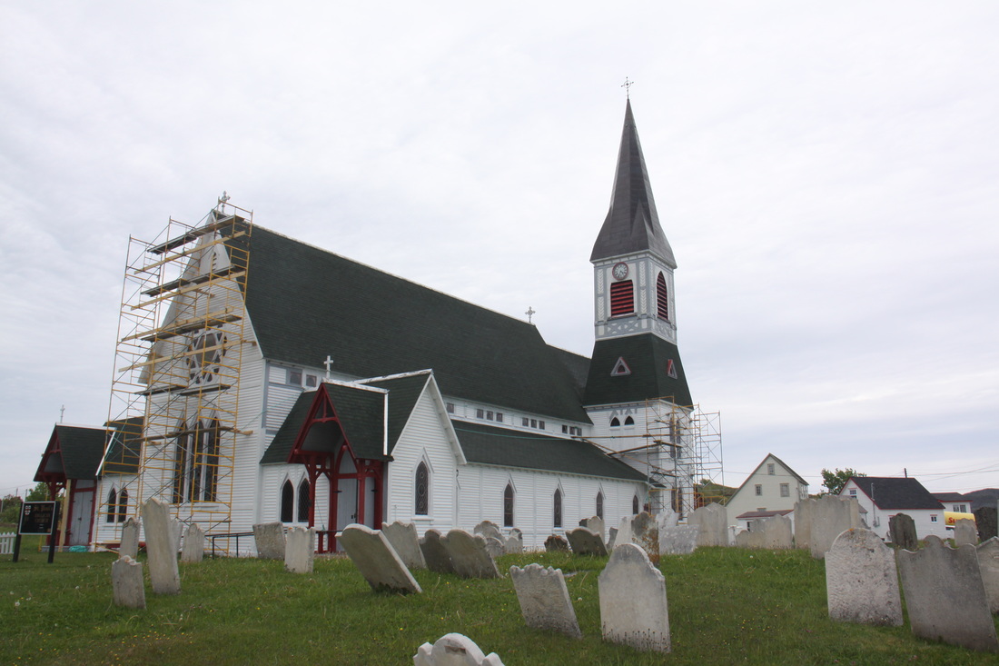
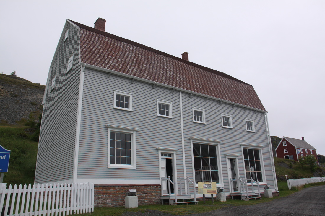
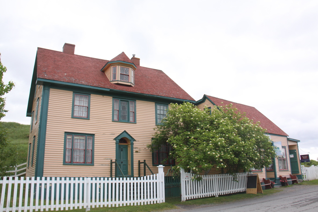
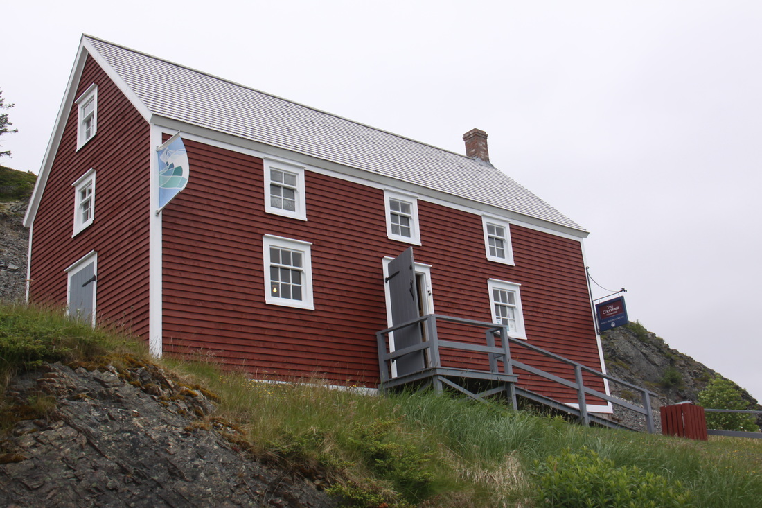
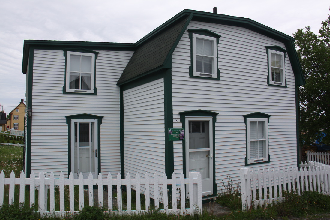
The Leater-Garland house is just one of a number of preserved buildings dotted around the narrow lanes edged with white and pastel painted clapboard houses surrounded by white picket fences. The Lester-Garland Mercantile Premises, the Cooperage, the Green Family forge, the Hiscock House and two churches are all open to visitors.
The Hiscock House was built in 1881as a home for Richard and Emma Hiscock. While expecting her seventh child Richard was drowned and Emma was left to support the family on her own. She was a true entrepreneur - a shop keeper, a post mistress and a landlady. She also rented out her parlour to a bank.
The whole settlement is a delightful collection of small wooden houses, including the local "salt-box" houses, asymmetrical in shape with one roof longer than the other, as well as the historic properties.
We found a car park on a hill, overlooking the village, for our night halt.
Monday 4th July
We started the day with another wander through the lanes of Trinity. At the local post office we bought stamps and posted cards to friends and family. They were selling books to raise funds for the local children's auspice. We bought several and payed more than they were asking. In a little cafe we bought some partridgeberry jam. We stopped to chat to a local man out walking his dog. He told us that where we had parked overnight was in fact private land. The owner of the plot did not live in Trinity. He had intended building a house there but had never got round to it. The locals all used it as a car park!
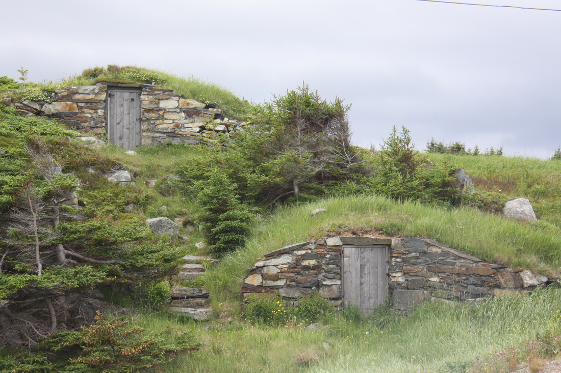
We then drove the short distance to Elliston. This small settlement nestling around rugged coves and bays, bills itself as "The Root Cellar Capital of the World". There are hundreds of these below-ground cellars in and around the village. Most face east because easterly winds bear no frost. The cellars were used to keep harvested root vegetables (mainly potatoes, turnips and carrots) warm enough to avoid freezing in winter. They were also cool enough to keep dairy products from spooling in the summer.
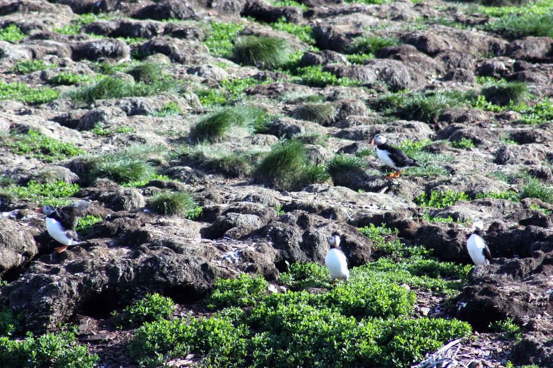
Elliston is also home to a large colony of puffins which nest on a small island just off shore but close enough for them to be seen close to. A memorial statue to sailors lost at sea stands by the small harbour, a reminder of the treacherous conditions faced by local men. There is also a sealers memorial plaque naming the men lost.
Our night halt was a picnic spot overlooking North Bird Island and the puffin colony. Truly a room with a view. Whilst eating supper, a bald eagle perched on a rocky headland about 50 feet from us. He stayed there a long time eying up his supper, hopefully puffin egg!
Tuesday 5th July
We got up early and returned to the puffin colony. There was a lot of activity. Hundreds of puffins were out fishing on the lee shore close to the island. The puffins would return to their nests with their catch and immediately their partners would pop out and head off for their turn to find breakfast.
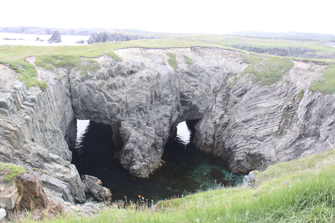
From there we drove towards Cape Bonavista, stopping to take a gravel road to "The Dungeon". This is a twin entrance sea cave with a collapsed roof. On a calm sunny day like today its wasters were calm, but on a stormy day it would be a different story with waves roaring through the two former cave entrances to crash against the sedimentary rocks below. The whole Bonavista Peninsula is a series of stacks, caves, headlands and off shore reefs and islands.
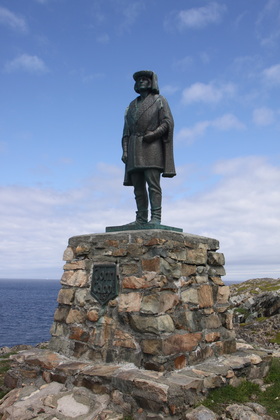
At Cape Bonavista there is a statue of John Cabot, who on 24th June 1497, is thought to have made his first landfall there in the new world. On sighting land, Cabot announced to his crew "Hey lads, that's a grand view!", hence the name Bonavista. Cape Bonavista also boasts a lighthouse of an unusual square design, completed in 1843. Its original light came from the Inchcape (Bell) Rock in Scotland. With the exception of the tower and light room the interior of the lighthouse has been restored to how it would have appeared in the 1870's.
Back in Bonavista we visited the Mockbeggar Plantation House which was built in 1872/73. The house was the oldest fishing plantation on the island. It had its own cod liver oil factory and the oldest fish storage room in the province. The house has had a succession of notable owners including Gordon Bradley who in 1949 became Newfoundland's first representative in the Canadian Cabinet after Newfoundland and Labrador joined the Confederation. Previously the two provinces had been a British Colony. The vote to join the Confederation had been very close, 51% to 49%.
Our rather hectic day ended with a visit to the full scale reproduction of John Cabot's caravel, "Matthew". The vessel was surprisingly spacious for its era.
Although the elusive passage to the east was not discovered, Cabot and his crew found huge shoals of cod and within ten years commercial fishing became established.
We returned to our sea view car park for the night. No bald eagle but icebergs out at sea.
Wednesday 6th July
A cold and wet day so although we were sorry to leave the Bonavista Peninsula we drove further east to Clarenville where we decided to stop. It was not an easy drive as the lying surface water hid the rutted and often potholed surface of the road.
Thursday 7th July
Another cold and blustery day but luckily no rain. All the locals are complaining that summer is very late coming this year. We drove to St. John's where we spent the night. St. John's is situated on the steep sides of a deep water bay so it was difficult to find a sheltered spot on the Walmart car park.
Friday 8th July
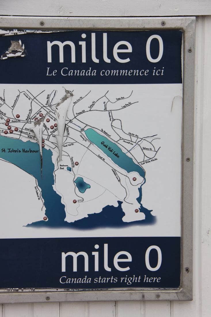
A much better morning for our exploration of the city of St. John's which is the provincial capital of Newfoundland and Labrador. It is also the end (or beginning!) of the Trans Canada Highway Route 1. Four years ago we visited the western end of the highway in Victoria on Vancouver Island, British Colombia so it was fitting that we visit the most easterly point of the same highway.
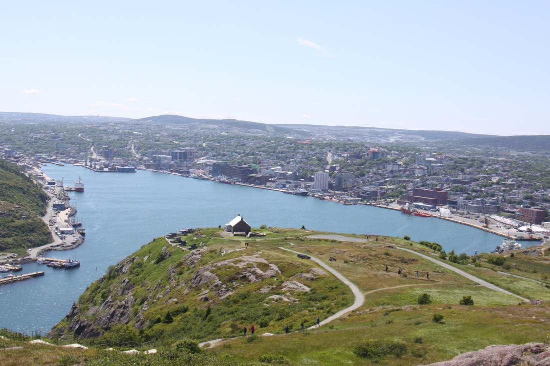
St. John's is built on a series of plateaus that run up from the shore - this leads to a lot of steep streets and steps between the levels. By the end of our explorations we both had aching legs. At least, the higher up we climbed, the better the views of the harbour which is approached (from the sea) through a 200 metre wide channel - "The Narrows".
At noon, as everyday, the cannon was fired on Signal Hill. Then at 12.30pm, all the ships in the harbour sounded their horns making it sound like they were playing a tune. This is called "The Symposium".
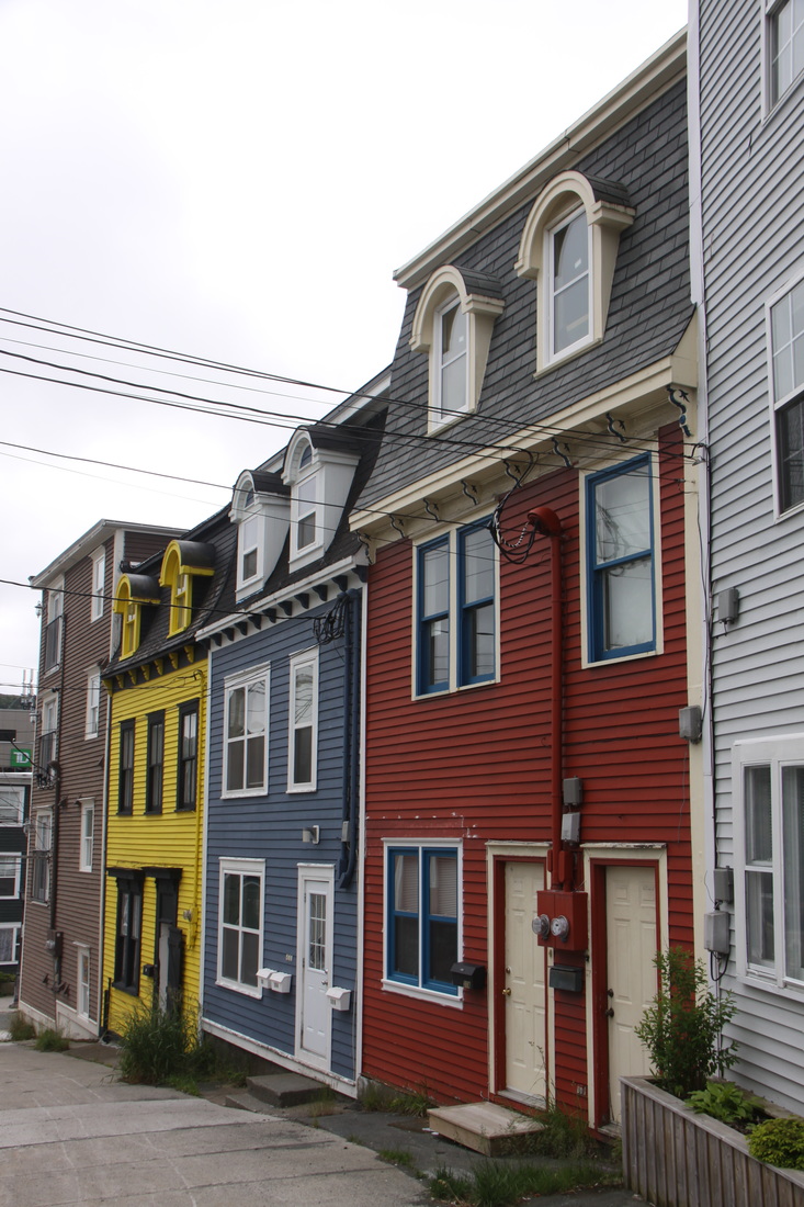
St. John's is perhaps most famous for its "Jelly Bean" houses, whole streets of brightly painted clapboard houses lining the streets of the old town. We spent a long time wandering the town seeking out these lovely old houses.
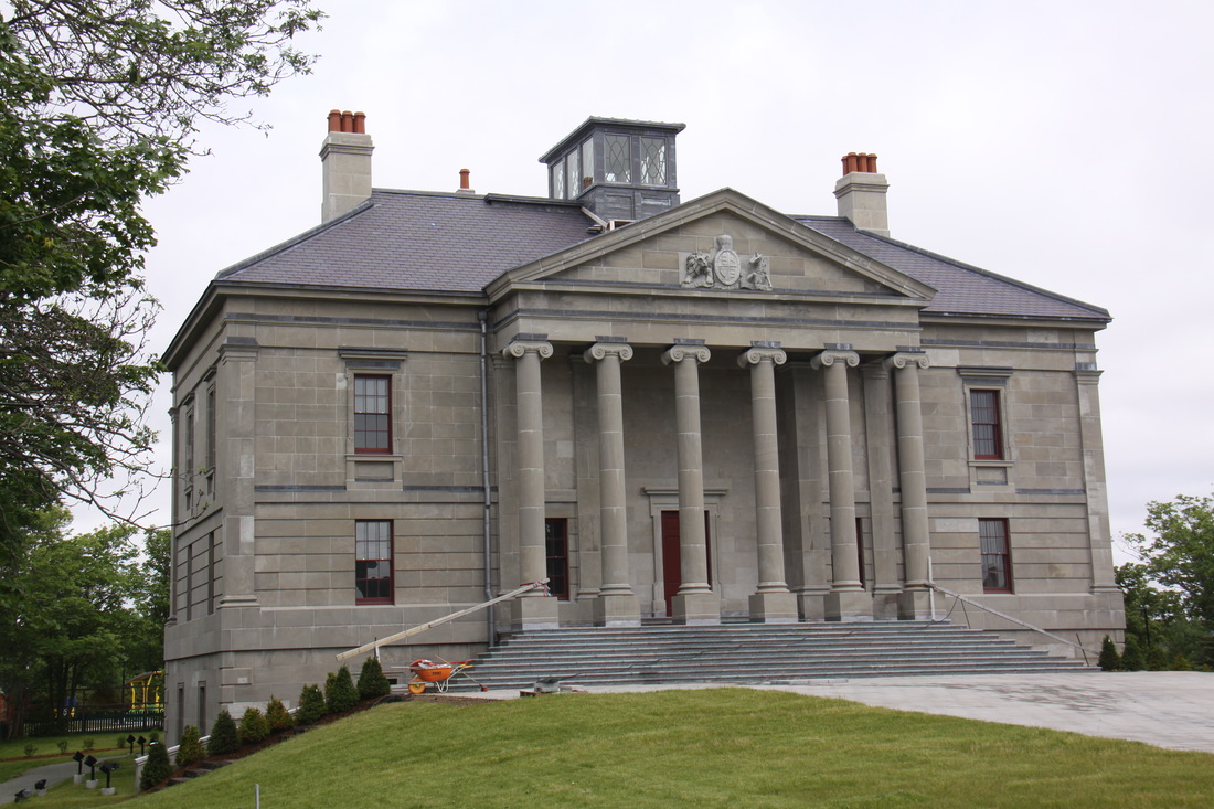
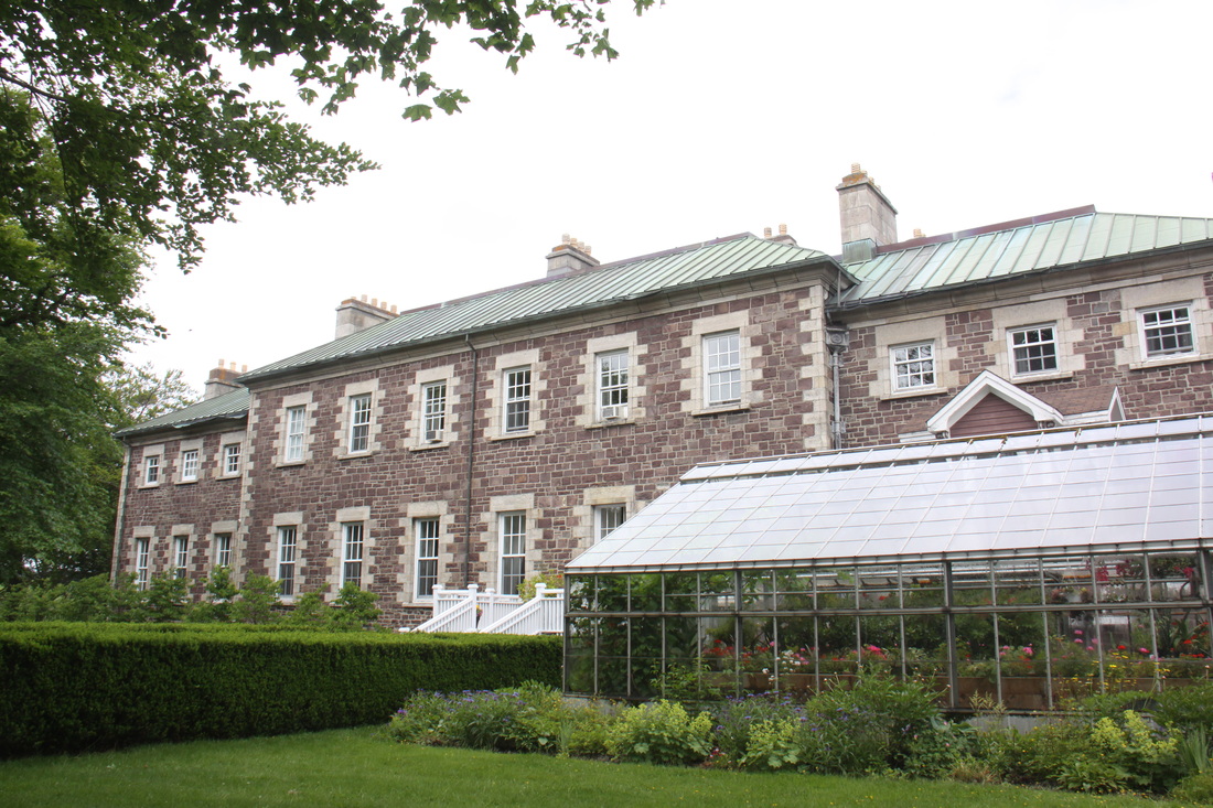
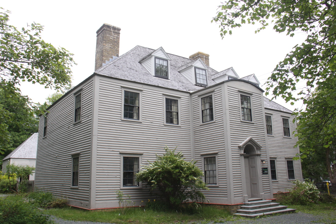
We also viewed the main provincial buildings in the town: the Courthouse, Anglican Cathedral, Catholic Basilica, Commissarial House, Government House and the Colonial Building. These illustrate clearly the progression of Newfoundland from British Colony to a Dominion and finally, in 1949, a Canadian Province.
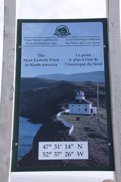
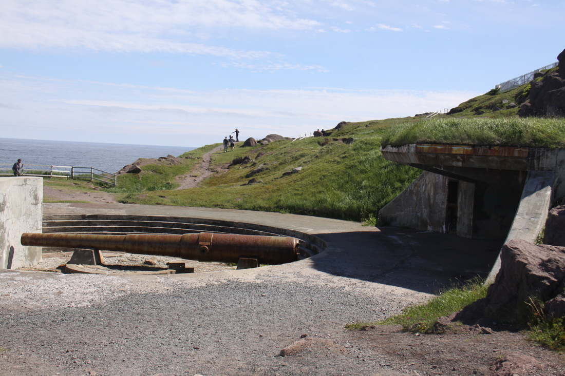
It was late in the afternoon by the time we had finished exploring St. John's but we did not want to waste the good weather. We drove the short distance to Cape Spear, the most easterly point of the North American continent. From here it is 3,016 kilometres to Ireland. There are two lighthouses on the Cape, the modern one and the squat rectangular Victorian lighthouse built in the
1830's, the oldest in the province. Nearby are the substantial remains of World War 2 gun emplacements.
We returned to St. John's to overnight.
Saturday 9th July
Today we continued our exploration of the historical city of St. John's. The tiny village of Quidy Vidi is nowadays part of St. John's but was originally a quaint fishing village protected from the Atlantic Ocean by a narrow, virtually concealed harbour entrance. Today a few old fishing shacks and wharves remain, clinging to the sides of the steep cliffs.
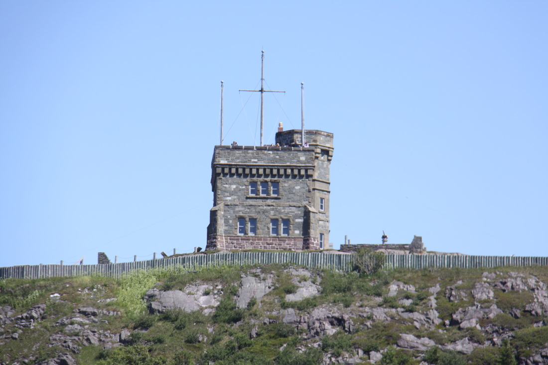
We next drove to Cabot Tower on Signal Hill. This tower was built in 1900 to commemorate John Cabot's voyage of 1497 and Queen Victoria's Diamond Jubilee. Although it was a sunny day, it was bitterly cold on the exposed headland. The views across the city and up and down the coast were magnificent. Signal Hill was originally known as The Lookout because it was an ideal defensive site to protect the narrow harbour entrance. These defensive positions were in use until the end of World War 2.
On our way down from Signal Hill we called in at the Visitors Centre were regimental drummers and pipers were playing a tattoo.
We wanted to do some laundry and needed to fill up with water etc. so tonight we stayed at Pippy Park campground.
Sunday 10th July
After two busy days we were late getting started. By the time we'd done all the jobs, driven back to St. John's and done the shopping it was lunchtime. As it was a damp, cold and miserable day with a heavy sea mist giving poor visibility we decided to stay put for the rest of the day.
Monday 11th July
What a day! We woke to pouring rain, thick fog and temperature of 5 deg C. There were a few more things we wanted to do in Newfoundland but the weather forecast was abysmal. It looked as though we would have to wait at least a week before it was expected to improve. Reluctantly we made the decision to start heading back to the ferry to Nova Scotia.
The journey could probably be done in two days but, considering the weather and likely road conditions, we decided to allow ourselves three. A slow drive with poor visibility and flooded roads but fortunately not too much traffic.
Tuesday 12th July
We woke to pouring rain. It was colder even than yesterday. Strong blustery winds were rocking the motorhome.
"We've been sleeping. We've been sleeping.
Just woke up. Just woke up.
Pitta patta rain drops. Pitta patta rain drops.
We're fed up. We're fed up."
However, we were soon to realise that our decision to say farewell to the East Coast of Newfoundland had been correct.
We set off and continued to head back west through a landscape of endless forests and lakes. In the main the road was in good condition but there were a number of places where the surface was broken up and potholed.
We stopped at Grand Falls-Windsor to visit a craft shop. It had stopped raining by now and we were able to venture out without coats. By lunchtime we were able to take off our fleeces and turn the motorhome heating down a little. By the time we reached Corner Brook for our overnight halt we were in shorts and tee shirts and the temperature was 20 deg C!
Wednesday 13th July
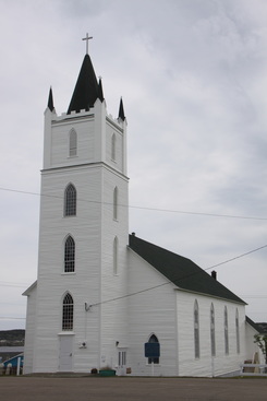
A lovely sunny day as we drove to within a few miles of Port-aux-Basques, from where we will take the ferry in the morning back to Nova Scotia. In many ways we will be sorry to leave Newfoundland with its forests, lakes and at times wind and rain. The coastal bays and tiny fishing settlements, the icebergs, wildlife and lovely little towns with clapboard houses, picket fences and white churches all leave us with fond memories.
Thursday 14th July
We started the day with a short drive to the ferry terminal at Port-aux-Basques. We then had a long, long wait before the ferry was loaded. You had to be at the terminal at least two hours before departure otherwise a place on board could not be guaranteed.
The "Blue Puttees" was a modern ship, so despite the heavy rain, thick fog and strong winds, it was a comfortable crossing. There was quite a heavy swell with white horses. Once again, we had an excellent meal in the restaurant.
The weather on our arrival in North Sydney, Nova Scotia was sublime. We've found summer again but our hearts are still in Newfoundland - there was so much character and sense of pride in being a Newfoundlander.
[click] to continue our journey to Nova Scotia
[click] to return to Home page
